Weak coverage calls for separate thinking about several functions
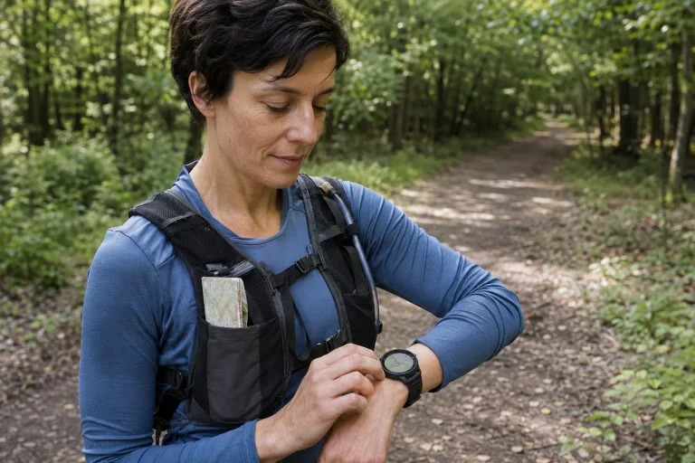
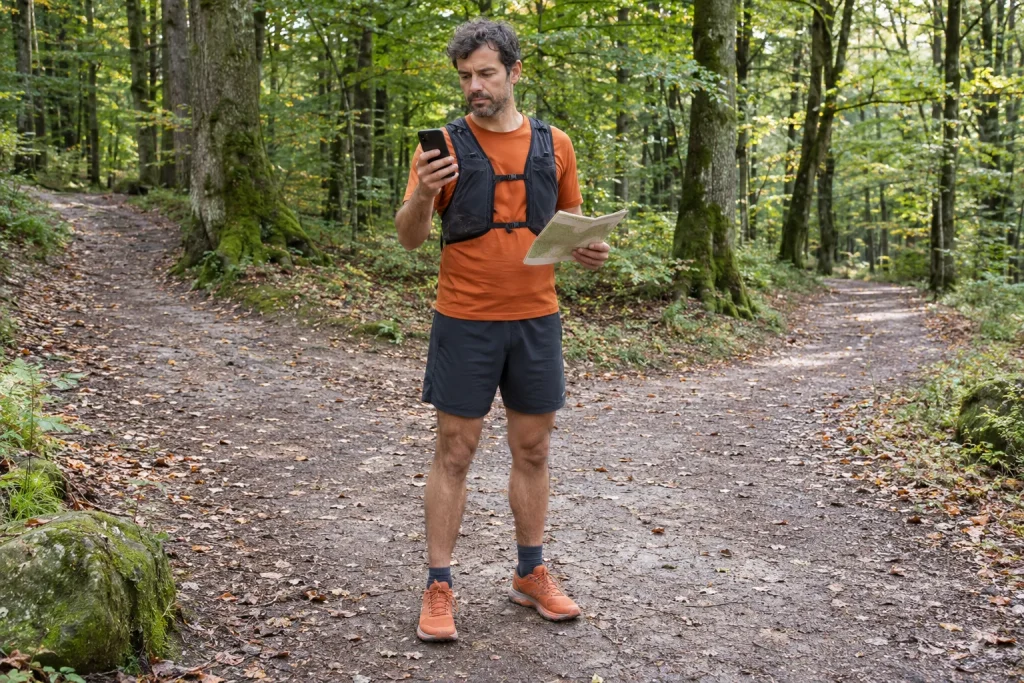
On a forest loop, a phone can be a map, positioning device, communication channel and store of information for getting home at the same time. These do not necessarily work alike with weak mobile coverage. A location dot appearing on the device does not guarantee that the map updates or a message reaches the person staying at home.
The pre-departure task is therefore to separate dependencies. What does the device store locally? What requires internet? What needs a working phone connection? And what information can you access if the device itself becomes unusable? Buying one app does not resolve these questions; a tested system suited to your outing does.
Positioning is not the same as transmitting your position
In GPS operation, receiving a satellite signal and sending your position to another person are separate processes. The GPS.gov frequently asked questions specifically emphasise that GPS satellites broadcast a one-way reference signal; they do not track devices on the ground. For a runner, this creates an important practical distinction: a position visible on your own screen does not prove anyone else can see it.
A location-sharing service may have its own data-transfer and device requirements. Read the documentation for your app and check what the other person sees through a trial in familiar surroundings. The update time is especially important: an earlier location can easily look current if the viewer overlooks it.
Satellite positioning is not flawless in every environment either. Know your navigation solution’s limits and how you will navigate using a backup. Simply comparing the phone’s signal indicator with the appearance of a map dot is not a complete functional check.
Check four tasks separately
| Task | What is the actual question? | How should you check before leaving? |
|---|---|---|
| Reading the map | Are the required area and detail available locally? | Try opening them without a connection in a familiar place |
| Following the route | Is your line visible, and do you understand the view? | Check the saved route on the actual device |
| Communication | What does the other person see, and when? | An agreed test message and location update |
| Getting home | Are the necessary address and travel information accessible? | Keep important details locally too |
Success in one row does not automatically validate another. Loading a map is not a messaging test. Opening a chat does not prove that a usable data connection will cover the entire forest section.
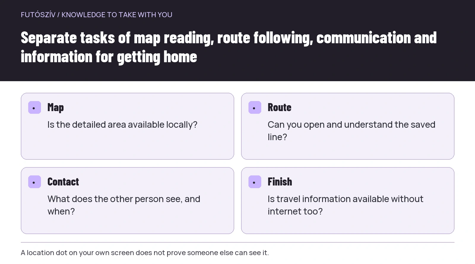 Enlarge diagram
Text version of the illustration
- Map
- Is the detailed area available locally?
- Route
- Can you open and understand the saved line?
- Contact
- What does the other person see, and when?
- Finish
- Is travel information available without internet too?
An offline map must actually be downloaded
Marking a route as a favourite does not mean a complete offline save in every system. The track, background map, place-name search and route planning may be separate. Check which your app supports and under what area or device conditions.
The Apple support page on offline maps , for example, explains downloading an area and notes that features may vary by region and maps do not automatically sync to every device. This is one specific system’s example. The general checking question for trail runners is whether all necessary data is present on the device they will actually use.
Do not examine only a thin strip around the main route. Include the possible return, starting place and checked exit connection within the usable mapped area. If the outing changes, do not discover that your download ends just before the next settlement.
Perform the trial in a comfortable, familiar place
Before leaving, open the saved route and map, then check their display without a network while understanding your device’s settings. Do not do this on unfamiliar terrain, during necessary communication or by testing a real emergency-help function. The purpose is to identify simple technical gaps.
Zoom in on important junctions. Find the start, finish and backup finish. If a search does not work without a connection, save the necessary point beforehand in another usable form. If the route does not appear, you still have the opportunity at home to read the documentation and resolve the omission.
After the trial, restore the settings you will need when setting out. A deliberately disabled connection can easily stay that way. Finish with a short checklist: map present, route present, communication in the intended state, important information accessible.
You also need to know how to use the map
Downloaded data does not replace interpreting the route. Know your starting direction, upcoming waymark changes and the last point you can identify confidently. Read the arrow on the phone screen together with your surroundings.
For your first such loop, choose a simple route you understand well. If you are still learning navigation functions, do not make a complex course with repeated self-crossings the operational trial. Suitable training or help from an experienced leader may also support navigation practice.
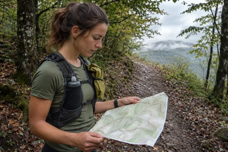
Rely only on a backup information format you can actually use. A suitable paper map helps when you understand its symbols and can relate it to your position. Another app on the same device does not solve a flat phone battery, even if it offers a separate route view.
The contact agreement should account for gaps
Tell the person staying at home beforehand if continuous contact is unlikely on the planned loop. Do not promise compulsory updates every minute when conditions make them impossible. What matters is knowing the outing, planned finish and a clear next step.
The other person should know which message signals departure, a change of plan and an orderly finish. An absent live-map dot or old timestamp alone does not fully explain what is happening. Discuss this uncertainty beforehand rather than piecing it together later from a chat.
When urgent assistance is needed, seeking appropriate help takes precedence over sending a sporting update to your contact. The communication plan organises information; it must not be so complex that it delays obtaining meaningful assistance.
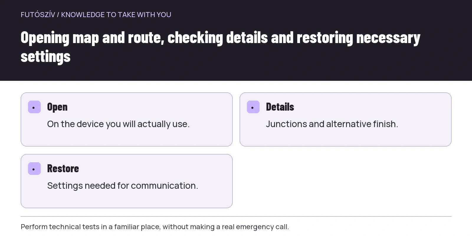 Enlarge diagram
Text version of the illustration
- Open
- On the device you will actually use.
- Details
- Junctions and alternative finish.
- Restore
- Settings needed for communication.
Be able to describe your location when seeking help
The police information on 112 lists location, what happened and who needs assistance among the basic information for requesting help. On trails, it is therefore useful to know how to find current location information on your device and which nearby identifiable point you can name.
Learn in advance how coordinates are displayed too. If the system shows several formats, do not hurriedly try your own conversion: communicate the displayed format and location description clearly, following the call handler’s questions. You can practise precise wording in a familiar place without a real emergency call.
Do not consider the technical possibility of requesting help by phone guaranteed at every forest location. Your own network’s current display is not a complete availability check. Before leaving, choose a route whose complexity and communication conditions both suit your preparation.
Power and usability: consider the entire planned day
Actual use affects the device’s operating time. Frequently viewing maps, recording and other functions together may differ from ordinary daily use. Prepare using your device’s documentation and experience in familiar surroundings, not another model’s advertised figures.
If planning an additional power source, test its connection and the necessary cable too. A connector left at home or a non-working cable is not a usable backup. Handle the solution appropriately for planned conditions, following the device manufacturer’s guidance.
Think through screen access too. Can you take it out and put it away while paying appropriate attention to terrain? Create an orderly situation when you need to consult the map. A brief, useful information check can matter more than uninterrupted running.
An illustrative example: the line is there, the background is missing
A runner saves a route in an app and sees the loop on the overview before leaving. In the forest, however, the detailed map fails to load at one junction. The line appears, but surrounding paths and place names are absent. Saving the route did not include a complete map-area download.
For the next outing, the runner separately checks the background map download, important junction display and backup return. They try opening these without a connection in a familiar place. Their route outline now includes waymark changes too, so the device view is not the only reference.
The example does not mean that a particular app is suitable or unsuitable on every terrain. The lesson is to check different functions separately. A successful save, map detail and communication remain three separate tasks even when they appear on the same phone.
Information before departure and reality on site
A downloaded map does not replace checking current access either. Consult the MTSZ warnings and land manager for fresh information relevant to your loop. If you encounter a restriction or another clear obstacle on the ground, do not try to override it with the saved line.
Inventing a new outing afterwards may be particularly awkward with a weak connection. Planning can therefore include a checked shorter version or familiar return. You need not write a ready-made scenario for every possible situation, but understand the basic way to finish.
Close the outing as agreed in your communication arrangement. If usable contact will be possible only later, account for this beforehand. A finishing message should not depend on an app’s automatic activity upload if the other person expects personal confirmation.
A short checking sequence for the next loop
Keep five items on your own sheet: an appropriately stored map, an accessible route, backup navigation you understand, realistic communication and a known finish. Give each a concrete check. This way, you record more than “phone charged”: you also know what you will use it for.
After the outing, record which functions worked as intended and where gaps remained. Do not treat the location of a contact dropout as an everlasting coverage map, though you can keep it as personal experience. Conditions may differ again at another time, with another device or service.
A run planned around weak mobile coverage rests on knowing your own device and route. If a basic requirement is not yet in place, choose a simpler outing and complete the technical trial in calm surroundings. The next forest loop can then build on a tested information system.
How Futószív articles are prepared: our editorial guidelines.