After visiting, you have more information than an average pace
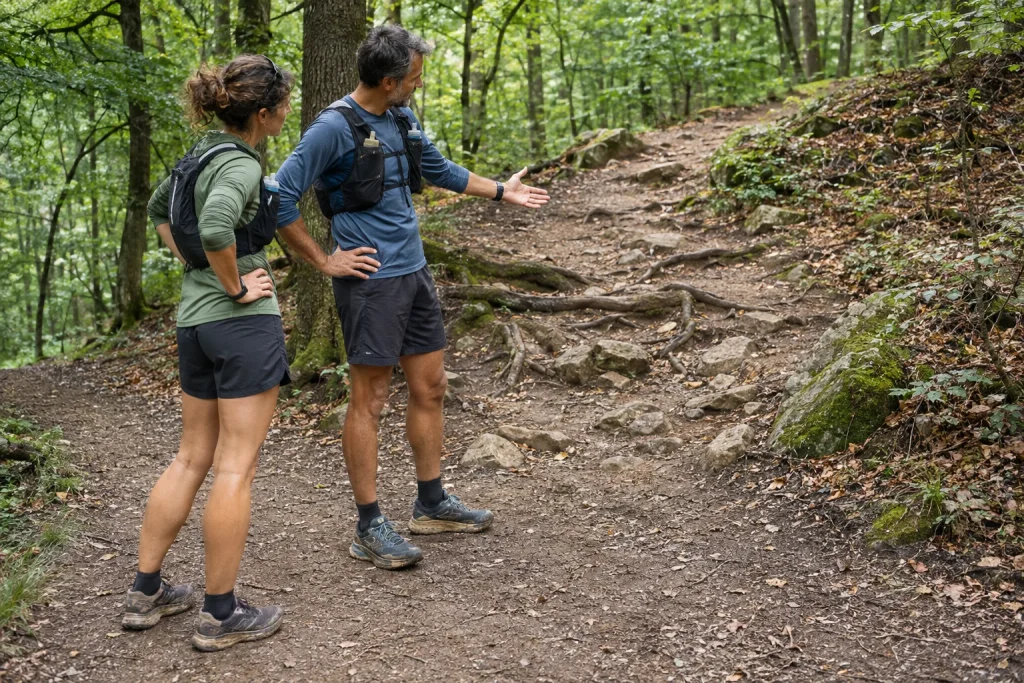
At the end of a new trail loop, a single judgement comes easily: it was easy, difficult or slower than expected. Planning the next outing needs a more precise memory. Which part created the task? What was an enduring route feature, what belonged to that day’s conditions, and what can you improve through organisation?
Reviewing afterwards does not aim to assign a universal difficulty label. You are creating personal experience tied to a date and the version actually covered. It can later support better route selection, a more accurate time frame and clearer information for a running companion. The route actually travelled and your decisions remain visible together.
First identify what you covered
Begin the note with the date, starting place, route source and direction of travel. Record any departure from the original plan too. Experience of a shorter version cannot automatically extend to the whole loop, just as the reverse direction is not the same outing in every respect.
Keeping the actual track can help, but do not treat it as a flawless field record. Mark measurement jumps or missing recording. Place the data alongside your outline and identified points. You will then not have to reconstruct everything later solely from an automatic map line.
Do not rewrite the original plan as though it always contained the route eventually completed. Comparing the versions reveals the learning point. Perhaps you overestimated a connection’s length, did not understand the second junction or changed course because of a current restriction.
Review three separate layers
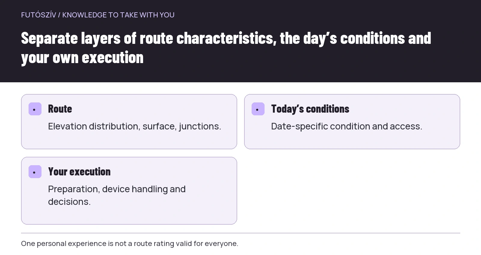
A long climb, many waymark changes or a narrower section can be route characteristics. Wet ground, poor visibility or a temporary closure can be conditions of the day. Personal execution concerns how well you understood the plan, handled the device and decided at junctions.
| Layer | Example | Next planning task |
|---|---|---|
| Route | Many successive waymark changes | A more detailed sequence outline or another loop |
| That day’s conditions | Wetter ground in one section | A fresh condition check for the next date |
| Your organisation | The offline map could not be opened | Test the device before departure |
| Your experience | Handling one terrain type felt uncertain | Appropriate practice or professional help |
The layers can interact without being identical. A failure to open the route did not make the path geographically harder. Your outing nevertheless became more complex. Precise evaluation can name both without assigning all responsibility to the map or yourself.
 Enlarge diagram
Text version of the illustration
- Route
- Elevation distribution, surface, junctions.
- Today’s conditions
- Date-specific condition and access.
- Your execution
- Preparation, device handling and decisions.
Understand the system behind a difficulty label
Different route websites may use their own classifications. The AllTrails difficulty guide , for example, describes several factors and community ratings and specifically notes personal abilities’ role in judgement. This is that service’s system, not a common standard applying to every route portal.
If a loop carries an easy or moderate label, read what the source means by it. Other activities and systems may emphasise different factors. You need not automatically interpret a walking-route duration or classification as your own running time.
Place your experience alongside the label with precise circumstances. A useful sentence might be: in that direction, on that date, the many junctions were the main task for me. This gives more information than saying the loop is actually difficult, while preserving that another person can arrive with different experience.
Record more than total elevation gain
Distance and total ascent are useful starting data, but do not fully describe how the task is distributed. Identify the main climbs and descents in sequence. If complex navigation followed a long climb, preserve that combination for your own plan.
Record the elevation-data source too. The Garmin course-creation guide , for example, explains why total ascent may change in a course created from a recorded activity. Before comparing two different digital totals, understand the origin of the calculation.
Do not try to convert the entire distance into flat kilometres with one elevation-correction formula. More useful information remains for route selection if you separately describe the sequence of height changes, surface and navigability. The next outing’s concrete task then becomes clearer.
Navigation demands are real tasks too
How many places required a meaningful decision? Which waymark change was clear, and where did you not immediately understand the continuation? Examine these separately from movement speed. A slower section may have been orderly map-reading time rather than poor physical execution.
Look at the route through the eyes of someone who has not visited too. Your local knowledge may make a junction seem simple, while seeing it on map and ground for the first time demands more attention. Explain this difference when recommending it to someone.
Your next step may be a shorter waymark-change list or learning a device view in familiar surroundings. If more complex navigation knowledge is missing, appropriate training or an experienced leader can help. Repeatedly rushing around a route is not automatically deliberate navigation practice.
Do not confuse total elapsed time with movement data
Organising a new loop generally involves the whole outing’s time requirement too. Access, navigation, stops and returning together determine when you can head home. Keeping only an app’s moving time can make the next schedule too tight.
An illustrative example: the outing from its start on the trails lasted 1 hour 40 minutes, of which the app labels 1 hour 25 minutes as movement. The difference is 15 minutes. The next travel plan should relate to the complete, understood time frame; reasons for stops can be examined separately. These example figures are not predictions for a route.
If you manually paused recording, mark this too. Device data alone may not reconstruct all time outdoors. Include the outing’s start and orderly finish in your notes when you want to refine timing later.
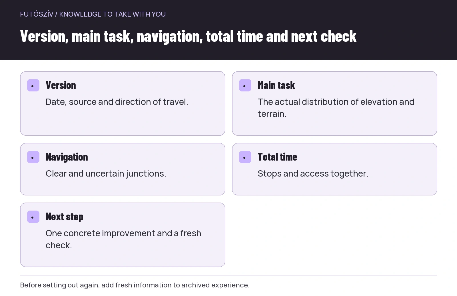 Enlarge diagram
Text version of the illustration
- Version
- Date, source and direction of travel.
- Main task
- The actual distribution of elevation and terrain.
- Navigation
- Clear and uncertain junctions.
- Total time
- Stops and access together.
- Next step
- One concrete improvement and a fresh check.
An illustrative example of a more complex loop than expected
A runner chooses a loop that looks familiar in distance and total ascent. The visit reveals many closely spaced junctions in the middle. They move more slowly at some points while matching the next waymark to the map. Afterwards, their first reaction is that the run went badly.
On the review sheet, however, they separate factors. Following junctions was the main new task. Detailed offline mapping was unavailable in one section, so checking took longer. They record the route as more complex to navigate than previous loops, and choose testing downloads and preparing a waymark-change outline as their own tasks.
Before the next outing, they check access and conditions again. They do not guarantee a faster time merely because they have completed it once. Experience produces a more precise plan, not an automatic performance promise. This also clarifies the purpose of repeating it.
Do not turn your condition into a universal route rating
Your personal situation that day can influence what felt difficult. Record it without manufacturing a medical conclusion or universal route label. If a health question arises, address it separately with an appropriate professional.
The reverse applies too. A section you found orderly and easy to follow may still be unsuitable for a beginner companion. When recommending it, make your background and the route’s specific tasks visible too. Your easy experience is not a usability guarantee.
The phrase “for me on that day” can help evaluation when accompanied by a concrete fact. Alone it remains insufficient, but combined with location, date and task it is more precise than an unjustifiably definitive adjective.
Access experience has a limited period of validity
A section being open and followable today does not automatically promise the same later. The current MTSZ warnings and relevant land-manager notices need another check before a new visit. This makes the date of your note important.
Describe both temporary obstacles and apparently lasting route problems factually. If their duration is unknown, leave it open. A community recommendation should not present something as definitely resolved when all you know is that you did not encounter it on an earlier day.
For a problem report, precise location, direction and observation are more useful than a negative judgement on an entire landscape. Reviewing a loop and reporting a fault to its manager may connect, but serve different audiences. Accuracy should underpin both.
How to create a short personal route card
Identify the version covered at the top. Then give separate lines for the main elevation task, surface and path character, navigation and access. Finish with a personal lesson and one question to check before the next outing.
Every category need not receive a score. A short written observation is often more interpretable. For example: two waymark changes close together; I struggled to notice the first from the planned approach. This supplies concrete information for a later personal plan or group briefing.
Keep the source link and original map version alongside the sheet. If the track changes later, you can still compare which loop the experience concerned. Do not merge remarks from different years and directions as though they came from the same visit.
Choose one next step rather than every improvement
At the end of analysis, it is easy to assign too many tasks: different equipment, more training, a new app and a longer route together. Choose the change most closely connected to the actual experience. If following junctions was the main problem, improve navigation preparation first.
The next trial can take place in suitable, familiar surroundings too. You need not learn device handling on the same complex loop, and practising waymarks does not necessarily require more distance. Plan your own task requiring professional input from the full situation, with knowledgeable help if necessary.
Reviewing a trail route afterwards then serves the next choice. Alongside distance and total ascent, you retain the task’s distribution, navigability and actual organisational experience. These support a precise recommendation useful to others while keeping the limits of one personal experience visible.
How Futószív articles are prepared: our editorial guidelines.