A downloaded line is not yet a ready running route
A GPX file can reach your phone or watch within seconds. A successful import only shows that the app could interpret some data. It does not prove the route is currently passable, that you are following the right direction or that the planned outing suits your experience. Before departure, check both the file and the route it displays.
This check needs no programming. It mostly involves zooming a map, comparing a few basic details and finding the source. The aim is to understand the next step alongside the displayed line: where you start, which way you go, which route version you downloaded and what remains unresolved.
What can a GPX contain?
The format creator’s Topografix page describes GPX as a GPS-data exchange format that can convey waypoints, routes and tracks. This distinction matters in everyday use. Another runner’s recorded movement and a preplanned route may share the file format while telling you different things.
A recorded track may contain stops, wrong turns or measurement jumps. A planned route may use a connection its creator has never personally visited. The file extension supplies no quality rating. Examine the line on a map; the source description may explain its purpose.
Do not assume every point serves the same role. A named point may be a start, viewpoint, checkpoint or personal note. Your app may not display every point identically either. Check on your own device what survived the file and what needs separate map notes.
Keep the source and version identifiable
Retain the page from which you downloaded the file. Note download date, route name and whether it is an organiser, institutional or private-user recommendation. A filename forwarded in chat often loses its original creator and version date.
For a race, check year and distance separately. Several tracks may share an event name, and a course can change between years. A short filename may not identify it sufficiently. Check the organiser’s current download page for the version belonging to your entry.
If you have several similar files, do not decide which is new only on the watch. Give them distinguishable names and label older versions archived. Year, distance and a source abbreviation may help. This is not authentication, merely prevention of personal confusion.
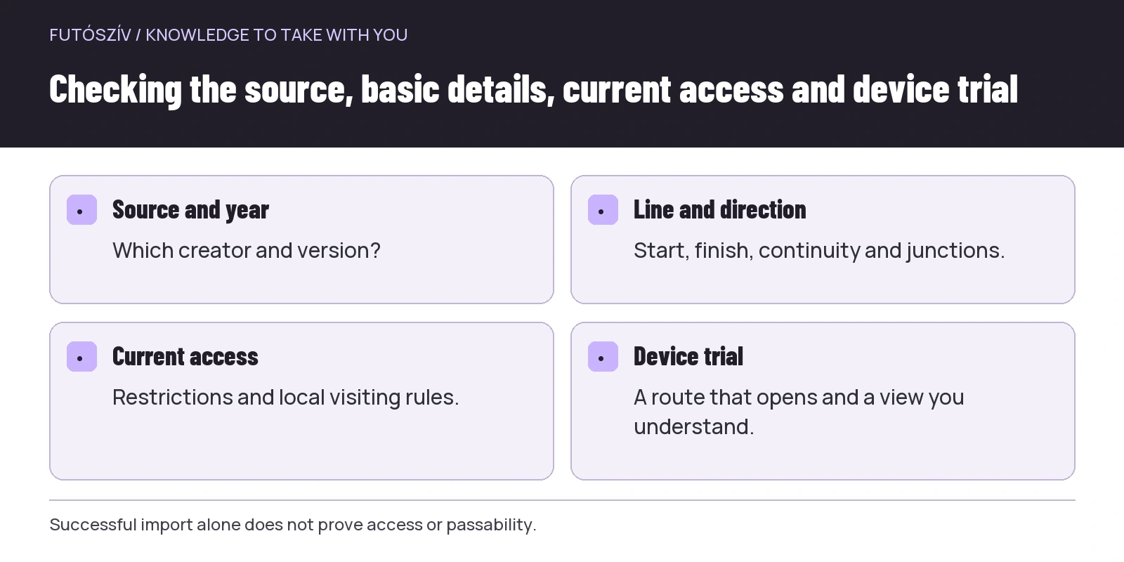 Enlarge diagram
Text version of the illustration
- Source and year
- Which creator and version?
- Line and direction
- Start, finish, continuity and junctions.
- Current access
- Restrictions and local visiting rules.
- Device trial
- A route that opens and a view you understand.
Compare six basic details
| Check | What should you examine? | Which discrepancy needs clarification? |
|---|---|---|
| Starting point | Does it actually lead from your intended start? | Another car park, station or town |
| Endpoint | A loop, out-and-back or separate finish? | Another location requiring a journey home |
| Length | Does it agree with the source description? | A substantial difference or omitted section |
| Direction | In which order do points occur? | Reversed travel or an ambiguous junction |
| Elevation | Which climbs and descents appear? | A suspicious jump or different profile |
| Version | Does it belong to the right year and distance? | An old file or one from another programme |
A discrepancy does not always mean error. The source may round distance or the app may calculate differently. Understand the difference. If you cannot explain it, do not automatically choose the more favourable data because it makes the outing seem easier.
Zoom into the line rather than viewing only the whole loop
A long straight line may barely stand out in an overview. Closer inspection can reveal missing data between distant points or a crossing where no usable path exists. Review the start, finish, self-crossings and sections unusually straight relative to their surroundings.
For a track with several parts, observe how the app handles connections. Does it join them with a line, show them separately or plan a route between? An automatic connection across missing data is not necessarily the creator’s actual travelled route.
Do not follow a measurement jump on the ground. If a line abruptly leaves the path then jumps back, examine the source and map context first. If unresolved, choose another intelligible route. A digital point sequence does not justify ignoring local prohibitions or impassable terrain.
Check current access too
Even an old accurately recorded track may cross an area closed today. The MTSZ trail warnings publish route changes and temporary restrictions too. Examine information for your area and day, checking the relevant forestry or land-manager announcement where needed.
A path shown on a map is not unlimited permission to use it. The Danube–Ipoly National Park visitor guide emphasises following designated hiking trails too. Checking a GPX therefore includes which paths the line uses and which local visiting rules apply.
A pre-departure check is not lifetime approval. If using the same file months later, check current access again. “Checked” in your archive referred at most to the earlier review.
Direction and self-crossings need particular attention
With figure-eight or touching loops, you may return to the same map point several times. A thin line alone on a device can make choosing the wrong branch easy. Mark beforehand which way to go on each visit and which recognisable point follows.
Travelling in reverse is more than reversing a drawing. Climbs occur in another order, transport or exit points arrive at different times and signs may be recognisable differently. Your programme needs to concern the direction used. If an event uses a course only in one direction, treat your reverse idea as a separate route.
Make a short sequence beside the self-crossing: first arrival, selected branch, next identifiable place; second arrival, other branch, direction towards the end. This is simple to understand calmly. On location, when tired, reconstructing the entire sequence from a complex line is less sensible.
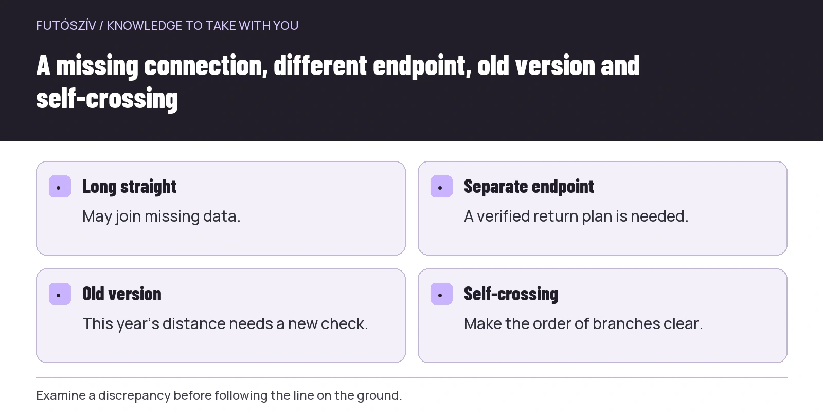 Enlarge diagram
Text version of the illustration
- Long straight
- May join missing data.
- Separate endpoint
- A verified return plan is needed.
- Old version
- This year’s distance needs a new check.
- Self-crossing
- Make the order of branches clear.
Try opening the imported route on the actual device
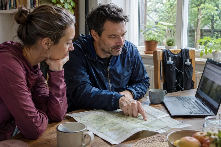
A computer map does not prove the route will be on your watch. Transfer, saving and opening on the device may be separate operations. Following your model’s manual, check the file, visible details and how to begin navigation.
The Garmin support page on importing external courses separately discusses bringing in course files from other sources, for example. Options vary by device and app. Do not assume a feature seen on another runner’s phone works identically on yours.
A technical trial on a short familiar route can reveal where to find the course, how to change the view and what happens at an off-course alert. This tests device use, not the safety of new terrain. If still learning navigation controls, avoid discovering every function simultaneously on an unfamiliar complex route.
A downloaded line also needs an actual map
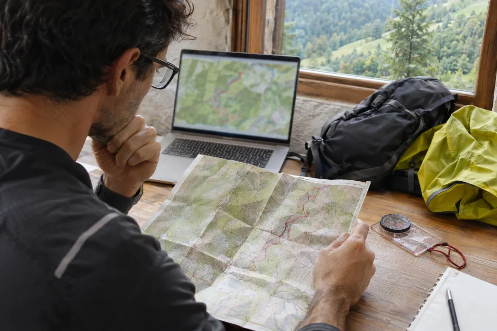
The line alone may show where you should go, but map context is needed to understand surroundings. Examine nearby paths, settlements and recognisable points. Interpreting a deviation should not depend solely on an arrow’s direction.
Check offline use separately. A saved GPX and downloaded map background may be separate in an app. Somewhere familiar, without connection, inspect what actually opens. You need not make yourself unreachable in dangerous surroundings for a test; check this before departure.
Have backup information you can genuinely use too. This might be an appropriate paper map with the required navigation skills, or another solution suited to the outing. Several copies on the same phone running out of battery are not completely independent backups.
Illustrative example: the same filename, two different loops
A runner receives “erdei_kor.gpx” from a friend. The chat describes a ten-kilometre loop. After import, start and finish do not coincide: a town section is missing at the end. The source is a previously recorded activity its creator stopped near home.
The runner does not immediately connect the points with the shortest line. First they clarify the missing connection, inspect the map and current visiting information. Without a suitably verifiable link, they choose another loop. The friendly recommendation remains an idea, while their personal route plan rests only on checked sections.
In another version, the file is complete but belongs to an old race distance. The organiser’s current page shows another track. Download and review the new file rather than add this year beside the old name. Both examples show that checking includes the data’s origins.
End your checklist with a decision
Keep the final sheet short: source and version, start and finish, direction, main route sections, access information, device-checked display and remaining questions. On the last line, state whether you consider the route usable for your programme or something still needs clarification.
Do not remove an open question merely because departure is approaching. If the return route is unclear, access unverified or the displayed line on your device unintelligible, choose a simpler familiar outing. The new file can be examined later; uncertainty need not become a compulsory adventure.
After visiting the route, retain your observations alongside the source. Note which version you used and when, where discrepancies occurred and what was easy to follow. If reporting a fault to the creator or relevant route manager, provide a precise location and factual description. The next downloaded line can then be supported by clearer, more usable information.
How Futószív articles are prepared: our editorial guidelines.