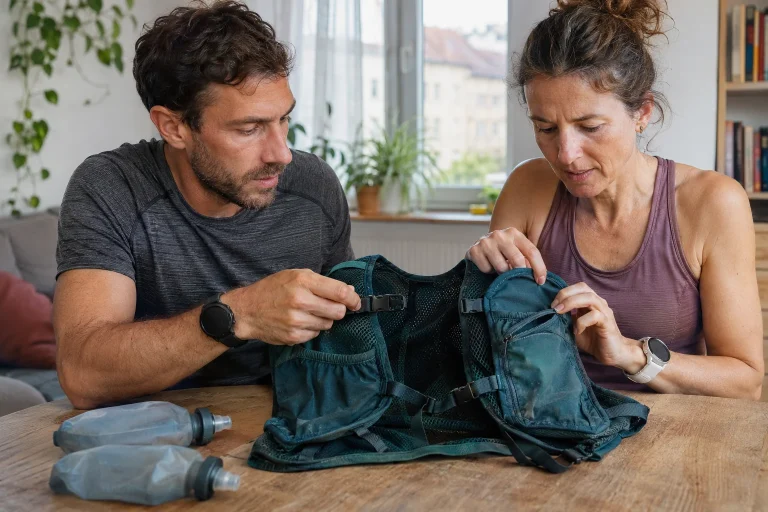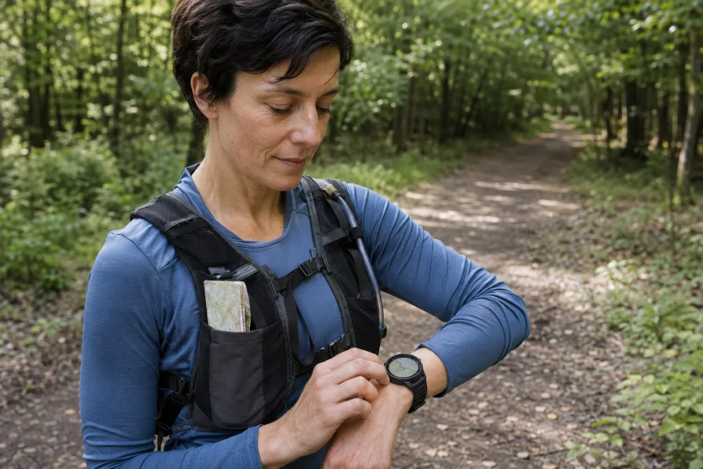
Offline maps are an appealing promise: glance at your wrist and the surrounding paths appear without an internet connection. The feature can indeed be useful, but several separate technical layers lie behind it. A downloaded base map is not the same as a loaded route, and neither is the same as determining your position. A watch displaying a map does not necessarily offer automatic route planning everywhere either. In this guide, we separate these components, then work through preparing and checking your own device. Details vary by model, so your own manual is the primary source for its actual functions.
Three layers to check separately
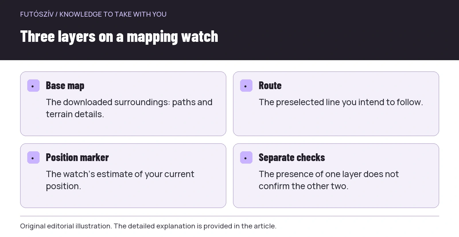
The base map draws the surroundings: roads, trails, water or terrain features, depending on the downloaded file’s contents. The route is a previously selected line you want to follow. The position marker is the device’s estimate of where you are. If you see only a line without a background, the route may still be on the watch. If there is a base map but no selected route, you can view the surroundings, but the device may not know which run you planned. Distinguishing the layers helps you state precisely what is missing from a screen that seems faulty.
The Suunto Vertical mapping manual notes, for example, that with maps disabled, a track can appear without a base map. The Polar offline-map information describes both using maps independently and using them with other navigation functions. These are examples from specific products. For your own watch, do not decide which layers are available from a promotional photograph: find the map, route and navigation chapters, and try each separately.
The word offline refers to the map data
With a downloaded map, you do not need to retrieve the same area from the network again during use. This does not mean every associated service works without internet access. Current weather, cloud-based route planning, sharing or a communication function may require different conditions. Map availability and the phone connection need separate checks. List what you expect to use while running and examine the requirements of each function. “The map works” does not prove that others can see your position or contact you.
Positioning is also different from downloading a map. The watch works using its supported satellite and other systems, and the displayed point is an estimate of your position. A detailed map does not necessarily make that point more accurate in every situation. With nearby parallel paths in particular, look at the surroundings as well as the screen. The map layer provides a navigational framework, while the actual location adds further information. Interpret the two together, and stop somewhere safe if uncertain.
 Enlarge diagram
Text version of the illustration
- Base map
- The downloaded surroundings: paths and terrain details.
- Route
- The preselected line you intend to follow.
- Position marker
- The watch’s estimate of your current position.
- Separate checks
- The presence of one layer does not confirm the other two.
Learn the download method while still at home
Some systems download directly to the watch over a wireless network; others use a computer transfer. The Polar guide mentioned above describes transferring maps downloaded from its web service via a computer. The Suunto download information instead details the requirements for a direct network connection on the watch. Do not unthinkingly copy another brand’s established method. A map opening on your phone does not mean the correct file has reached the watch’s storage.
Read the network and charging requirements. External power or a particular wireless network may be needed, and a hotel connection requiring browser approval may not work with the watch. Find this out at home. Do not leave a large map download until the minutes before departure. Check completion and any error messages; a queued download is not a finished map. If the process stops, follow your system’s support steps rather than randomly deleting other files to make space.
Region boundaries do not follow your running plan
The downloadable area may be a country, region or another division. Near a boundary, your route can cross into a neighbouring area even if the start is clearly inside the selected one. Compare the whole run with the coverage and consider reasonable possible return or shortcut routes too. You need not download half the world, but the narrow surroundings of the planned line may be insufficient. An intelligible map of the area helps with alternative choices during the run, rather than just the tile containing the start.
In an illustrative situation, the start lies in one map region while the far part of a ridge loop crosses into another. Downloading only the first means a quick glance at the start will not reveal the gap. At home, therefore, pan across the entire area on your own watch wherever the interface allows. Do not wait until after departure to interpret a black, empty or undetailed map edge for the first time. During the trial, identify whether it really is missing coverage, the zoom level or another setting.
The difference between a base map and a detailed map
A factory-installed map covering a large area may not have the same detail as a separately downloadable file. Polar’s description, for example, distinguishes continental base maps from detailed country and regional maps. In practice, check not merely whether Europe appears on the list, but also which paths and terrain details appear around your run. A city’s main roads may show adequately at a broad scale, while the small woodland trail you intend to follow needs more detail. The name and actual display together provide a useful picture.
Zooming can also change which features are visible. A broad overview cannot fit every label, and a narrow path’s line may appear differently. Learn the scale: what real distance does that small section on the screen represent? Always zooming in too far can remove the context; looking from too far out can merge junctions. Try several views somewhere familiar, noticing which works for an overview and which for a decision point. There is no single perfect zoom level for every route.
| Screen situation | Possible question | What should you check? |
|---|---|---|
| Route line without a background | Is the base map active? | Download, selected style and map setting |
| Map present, planned line absent | Have you selected the route? | Route transfer and active navigation |
| Part of the loop lacks detail | Region boundary or level of detail? | Full coverage and map type |
| A small trail is not visible | Zoom level or missing data? | Another scale, detailed file, freshness |
| The marker points somewhere unfamiliar | Is usable position data available? | Positioning status and actual surroundings |
| Correct on the phone, missing on the watch | Has the watch transfer finished? | The watch’s own storage and download status |
Using the controls also requires learning movements
Panning, zooming, recentring and returning to the workout page may be separate operations. A map moved across the display may not follow your current position until you recentre it. The Suunto manual describes specific buttons and gestures, but your device may use a different approach. Practise the complete sequence: open the map, zoom, pan briefly, return to your position, then go back to workout data. This offers more than scrolling through the map views once.
Locking, touch and gloves matter together too. If you disabled touch during sport, check which button option remains for the map. Do not start editing navigation while descending technical terrain. Stopping in a suitable place in good time before a junction makes the small display much easier to interpret. A data page designed for a quick glance in motion and careful map reading are different tasks. A suitable control routine helps avoid staring at your wrist for a long time while the environment changes.
 Enlarge diagram
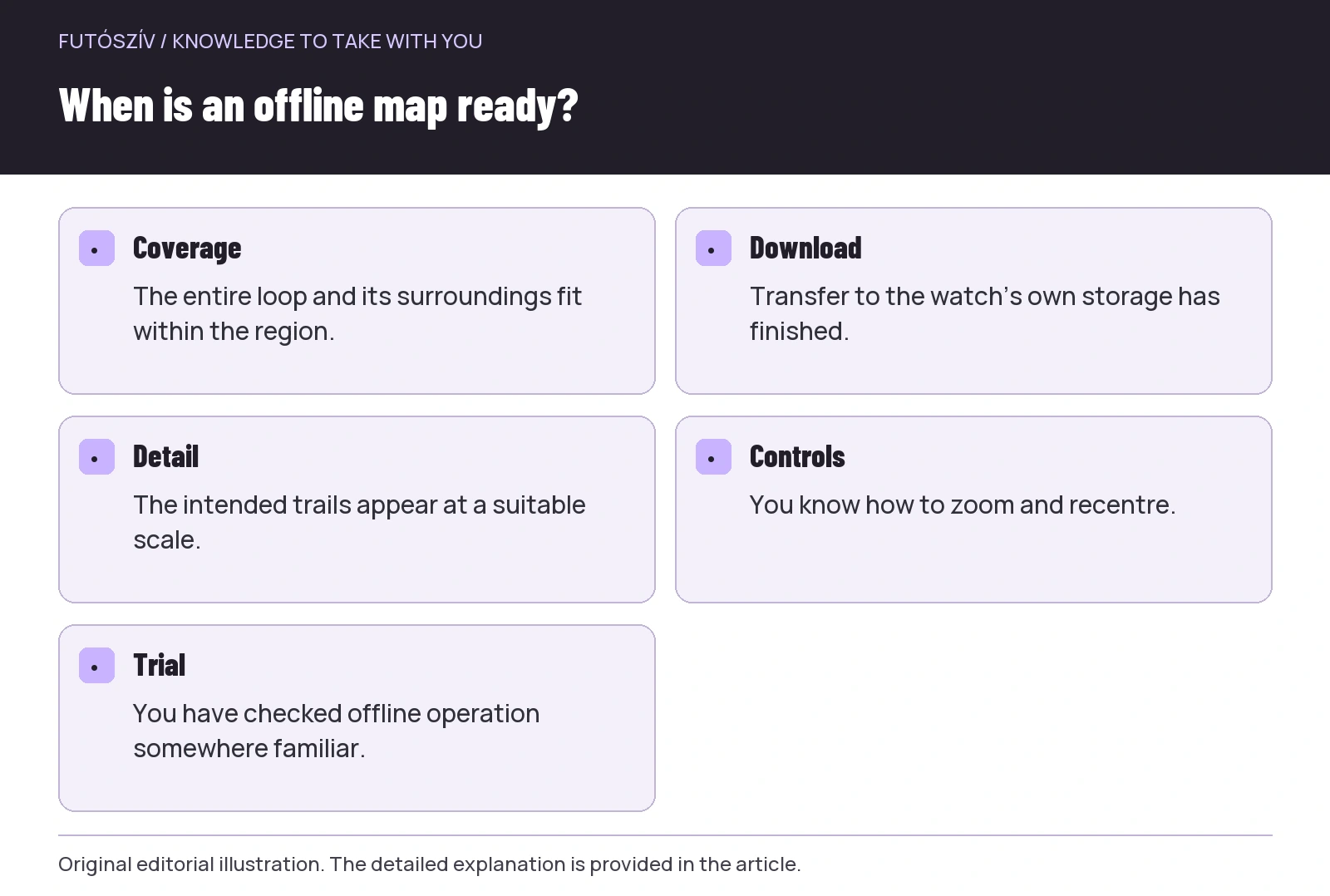
Text version of the illustration
- Coverage
- The entire loop and its surroundings fit within the region.
- Download
- Transfer to the watch’s own storage has finished.
- Detail
- The intended trails appear at a suitable scale.
- Controls
- You know how to zoom and recentre.
- Trial
- You have checked offline operation somewhere familiar.
Updates: check both the version and the result
Map data and watch software may be separate updatable layers. The Garmin map-management manual shows separate downloading and removal operations, for example. Check how the system indicates an installed map and update status. Even the latest available file is not a real-time site report: a newly closed path or temporary obstacle may not yet appear. Knowing the version is useful, but does not guarantee that every change on the ground is reflected.
After updating, reopen the important area and check whether the intended style, detail and active layer remain. When freeing storage, do not delete the region needed for your next run. If the system handles several map types, read how they work together. Many downloaded items offer no advantage if you do not know which one is displayed. A short personal map inventory before travelling can be enough: location, downloaded region, check date and required route. There is no need to keep a technical log for every everyday run.
An offline test you can verify in familiar surroundings
For the offline test, distinguish the network connection needed for maps from other functions. Following your own instructions, check somewhere familiar that the downloaded map opens without relying on your phone’s data connection. Do not switch every radio system off at random, as this could disable the very function you want to examine. The test has a precise aim: is the intended area’s map genuinely available on the watch? Do not choose a run where any disabled function would be needed for safety.
Walk or run a short, familiar section and examine the map at suitable points. Learn to recognise your position, the selected route and the track already covered, if the device displays all these. Check finishing too: exiting navigation and saving the workout are not the same on every model. State the result simply: which map worked, which controls were clear and what still needs checking. The offline feature then becomes a familiar tool rather than an abstract advertising promise.
What should you not entrust to the small map?
Do not expect it to know local access rules, every recent closure or a trail’s current usability automatically. A drawn path does not constitute permission or verify conditions that day. The position marker alone cannot tell you whether a steep section is suitable for you. A map is not a communication channel, and a displayed route does not ensure you can get home. Preparation appropriate to the route, current information for the area and sensible backup navigation should remain part of the plan.
To be ready for use, have answers to five questions: have you downloaded the correct region, is the necessary detail present, does the map actually open on the watch, do you understand the three layers, and can you operate them? With these in place, a mapping watch can genuinely help you understand where you run. Its value is shown not by the most impressive screen, but by seeing your surroundings more clearly at a junction and making a considered decision. Alongside downloading, that requires your own practical trial.
Sources and further reading
- Suunto Vertical – Offline Maps
- Polar – Offline Maps
- Suunto – map-download requirements
- Garmin Forerunner 965 – Managing Maps
How Futószív articles are prepared: our editorial guidelines.