Two separate loops with one shared meeting point
A figure-of-eight trail route has two loops meeting at a central point. This can appeal when you want two independent parts: after the first, you return to base and only then decide whether to continue. The complete route does not automatically become easy or safe, however. Understand the conditions of each loop and the central point separately.
In planning, a figure of eight is an organisational option rather than an elaborate map shape. It can support an introductory visit, coordinate different programmes within a group or prepare a shorter finish. It is usable when the base is genuinely accessible, each section can be followed independently and the sequence at the self-crossing is clear.
First define what counts as a base
The central point may be a checked starting place, a known connection to a settlement or a meeting place understood by everyone in the group. Do not call a junction a base simply because it is convenient for drawing two loops there. Access to the point and its usability belong to the outing too.
If arriving by car, check actual parking availability. With public transport, include the walk between the stop and base. If both loops also require a long connecting route, the complete outing consists of more than the two circles drawn on the map.
The Duna–Ipoly National Park visitor guide also addresses designated parking and protecting natural assets. A convenient base cannot justify unlawful parking or inappropriate use of protected land. Check local requirements at the specific location too.
Give each loop its own name and sheet
“Left” and “right” can depend on map orientation. Use distinct names linked to a place or clearly recognisable main point. Record each loop’s starting direction, main waymark change and branch returning to base.
| Information | First loop | Second loop |
|---|---|---|
| Your name for it | A clear short name | A name distinct from the other |
| Starting branch | A precisely identified direction | A separately checked direction |
| Main task | A brief description of route character | Its independent character and navigability |
| Return | Which branch brings you back to base? | Which branch ends the outing? |
| Open question | Information still to check | Information still to check |
The table helps prevent the second section appearing merely as an unchecked addition to the first. Each must be a route understood in its own right. Too many unanswered questions about one loop do not become less important because the other is familiar.
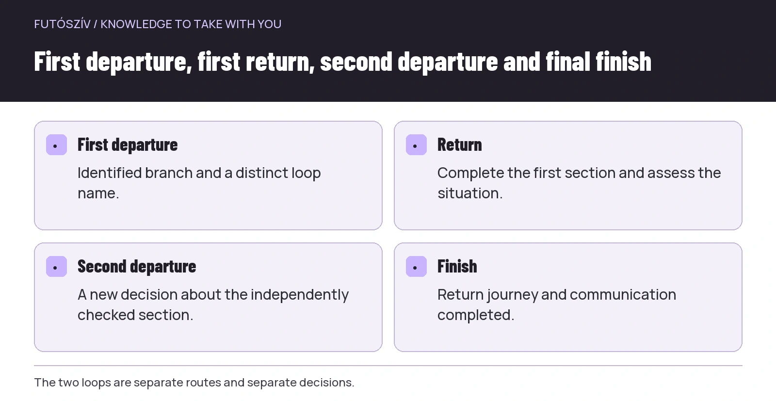 Enlarge diagram
Text version of the illustration
- First departure
- Identified branch and a distinct loop name.
- Return
- Complete the first section and assess the situation.
- Second departure
- A new decision about the independently checked section.
- Finish
- Return journey and communication completed.
Order can change the whole task
Which loop comes first matters. Sections differing in elevation, terrain and navigation appear in a different order. The time of returning between loops changes too. Choose according to your goal and experience, not solely which drawing looks better on screen.
If the first visit’s main purpose is learning one route, say so. The second loop can be a prechecked option rather than an obligatory item to complete. Organise the outing so you can end the day in an orderly way after the first part too.
Consider time of day and access that day as well. If a temporary restriction affects an area, order must accommodate it or you must choose another outing. The figure-of-eight shape is no way around local conditions.
Include connecting sections in the full distance
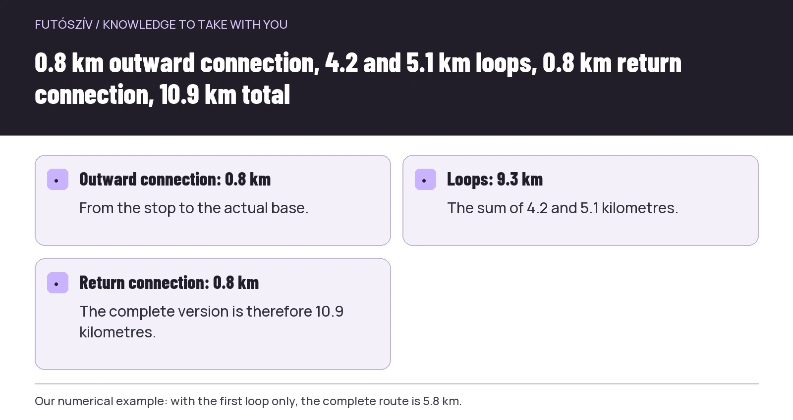
An illustrative example: an 800-metre path links the stop to base. The first loop is 4.2 kilometres, the second 5.1. Completing both and returning to the same stop gives 0.8 + 4.2 + 5.1 + 0.8 = 10.9 kilometres. The two loops alone total only 9.3 kilometres.
Finishing after the first gives 0.8 + 4.2 + 0.8 = 5.8 kilometres. The shorter outing is therefore not simply 4.2 kilometres either. The example uses invented figures and is not a running-distance recommendation. It shows why travel to and from base must appear in the appropriate place.
The same applies to time and elevation. Do not omit the task of reaching base because it does not appear in a loop’s GPX file. Planning the entire day includes the connection from the station or car park too.
Make the sequence at the central point clear
On a self-crossing route, lines can overlap on the device. At the first return, the branch starting the second loop may not be obvious. Resolve this before departure in your own route outline and on the actual device.
Write down the first departure, first return, second departure and final finish separately. Where waymarks change, give their full names. A map arrow or number may help your view, but only if its display makes sense on the device used too.
If your device handles the full figure of eight poorly, two separately saved routes may be clearer. Decide with knowledge of that system’s operation. Test the technical task of switching routes beforehand rather than learning it on the trail.
A base does not remove the need for independent preparation
Returning to a central point still leaves you relying on your equipment and information on each loop. Do not assume you will immediately be at base whenever a problem occurs. Returning from a distant point remains a separate task.
Match necessary equipment to the specific outing, weather and personal needs. This article gives no identical packing list for every terrain. The important organisational question is what you take on each section and what becomes accessible only on returning.
Do not leave equipment unchecked outdoors merely because you have called a point a base. Storage and any services depend on actual site conditions. A car park or rest area does not automatically become a supervised bag drop.
 Enlarge diagram
Text version of the illustration
- Outward connection: 0.8 km
- From the stop to the actual base.
- Loops: 9.3 km
- The sum of 4.2 and 5.1 kilometres.
- Return connection: 0.8 km
- The complete version is therefore 10.9 kilometres.
Give the decision between sections its own purpose
When returning to base, mentally close the first loop first. Was the route followable? Does the time frame still hold? Is there new information about conditions? Does the second part suit today’s situation? These questions frame a decision, not a compulsory performance exam.
Do not begin the second loop merely because you already drew it on the map or announced the full distance on social media. A planned option and an actual choice may differ. If the shorter outing provides an orderly finish in itself, treat it as a genuine version.
Report changes according to your contact agreement. If someone expects confirmation after the full route but you finish after part one, they still need to know it has ended. Communication should handle an earlier finish as well as an extension.
Within a group, the two loops can involve different participation
Some people may join only the first part while others plan both. This can work with advance organisation. Everyone should know their programme, where their shared commitment ends and how they travel onwards from base.
After separating at base, the second group needs an independently workable plan. Provide route knowledge, appropriate experience, communication and finishing arrangements. Having run the first loop together does not automatically organise the next section.
Do not rank different participation choices. The first loop can be a complete outing for someone who signed up for it. Staying for the second does not prove stronger membership of the community. The group’s purpose is orderly delivery of the agreed outing, not creating further unspoken obligations.
Current access for both loops
Check each section separately against the MTSZ warnings and relevant land-manager notices. A restriction can affect one loop while the other remains usable. A shared base does not mean the whole area has identical visiting conditions.
If one section becomes unavailable, do not automatically replace it with a path that looks nearby on the map. Review the new connection just as carefully: route, elevation, waymarks, access and finish. Without adequate information, stay with the outing you understand.
Follow on-site information too. A saved track shows the earlier plan, not every change that day. Changing the outing is part of planning here, not a failure caused by losing the map shape.
Link transport to both shorter and complete versions
If reaching base by public transport, check the return for both finishes. The shorter outing may mean different waiting arrangements, while the full version may involve another service or interchange. The current MÁV Group journey-planning and service information provides a starting point for checks relevant to your planned day.
Do not record only the last possible connection. Examine actual alternatives and somewhere to wait in an orderly way. Several hours of uncertain waiting at the starting place do not become comfortable because the run itself was short.
When arriving together by car, clarify who plans which version and when the vehicle leaves. Different participation in the two loops is not solely a running question if everyone reached the venue in the same car.
Review the structure after visiting too
In your notes, record experience of each loop and the base separately. Which part was easier to follow? Was the central junction clear? How much organisation remained between sections? These can show whether to use the same figure of eight next time.
The two loops might work better on separate days. Another base might simplify access. The shape is not a goal in itself, so you need not force every experience to fit it. A useful structure makes both route and entire day understandable.
Your final sheet can therefore contain two independently understood loops, a genuine base, a clear sequence and two finishing versions. Uncertainty in any of these becomes a specific planning task. Creativity on the map serves running when it simplifies decisions on the ground too.
How Futószív articles are prepared: our editorial guidelines.