For your first trail loop, plan the way to finish early too
When choosing a new trail loop, it is easy to focus on the total distance and an impressive destination. Equally important is how you can bring the outing to a simpler conclusion if circumstances differ from the plan. An exit point need not be an emergency location. It can be a checked connection to a settlement, a stop or your starting place, allowing you to finish a shorter version of the loop.
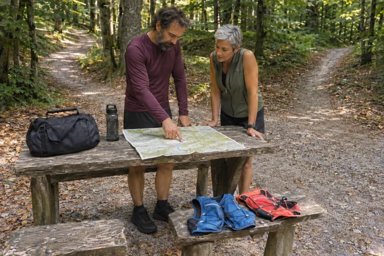
For a first trail run, a route that is easy to understand has value in itself. You need not fit every viewpoint and path in the area into one outing. Look for a programme whose main line, return options and access you can all understand. This article recommends no specific route; its examples show imaginary structures that require separate checks on a real map.
What makes an exit point usable?
A village or road being close on the map does not guarantee suitable access. Between the two points there may be closed land, an unclear connection or terrain beyond your experience. An exit point belongs to the plan only when you understand both the way to reach it and what happens afterwards.
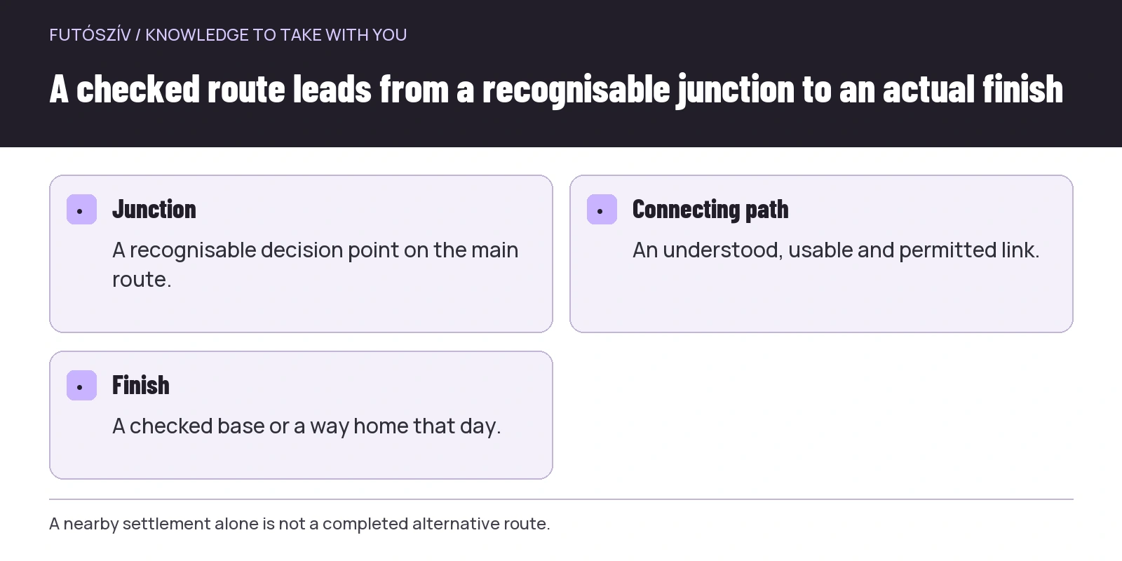
Answer three questions: where will you leave the original loop, which permitted and understood route will you follow, and where will the outing actually end? “I will head down to the village somewhere” is not a completed route. A clearly identified junction, a checked connecting path and a genuinely accessible stop together form a more usable plan.
Planning an exit does not replace seeking urgent help when necessary. These are different situations. A shorter, independent finish helps when you can change the outing lawfully and in a way suited to your condition. You do not have to prove your need for help by completing an alternative route drawn in advance.
Choose a simple structure first
For a first outing, a loop with few junctions from a familiar base, or a checked out-and-back, may be easier to understand. The shape alone does not automatically make it suitable: distance, elevation, surface and navigability matter together. The aim is to avoid having to solve too many new tasks at once.
| Route structure | Planning advantage | Question requiring a separate check |
|---|---|---|
| Out-and-back | The main line of the return is already apparent | Where and when will you decide to turn around? |
| Short loop from one base | The same starting and finishing place | Is there a genuinely useful shortcut? |
| Two connected loops | An intermediate return to base | Is the second part manageable on its own? |
| Route between two settlements | Can provide a clear endpoint | Does the journey home work on that day? |
Measure even the seemingly simplest option against your experience. A short, steep and hard-to-follow section may be a more complex task than a longer, familiar route. A kilometre figure alone cannot replace understanding the route.
 Enlarge diagram
Text version of the illustration
- Junction
- A recognisable decision point on the main route.
- Connecting path
- An understood, usable and permitted link.
- Finish
- A checked base or a way home that day.
Trace the entire connection on the map too
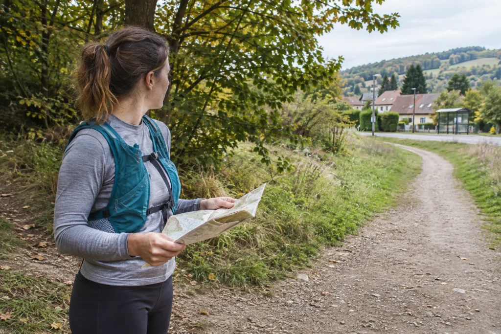
Do not save an exit point as an isolated dot. Follow the line from the main route to the actual finish. Check the junction’s waymark, subsequent intersections and whether another change of direction is needed. The connecting section’s length and elevation are as much part of the outing as those of the original loop.
The direction from which you approach the point also matters. A signpost or building can look different from opposite sides. In your notes, use a recognisable feature you can identify from your planned direction of travel. A description such as “the second big tree” is not good backup map information.
If the connection is unclear, choose another point or another loop. Do not leave it until you are on the trail to discover whether you can reach a stop that looked close on the map. On a first visit, a connection you understand is worth more than an impressive but incomplete alternative.
Check current access
The MTSZ warnings page also publishes temporary restrictions and route changes. Check the areas of both your main loop and alternative finish. A backup route is not usable simply because fewer people take it: restrictions can apply there too.
The Duna–Ipoly National Park visitor rules also emphasise following designated paths and protecting natural assets. Planning a shorter finish therefore does not mean drawing an arbitrary cut-through between two nearby points. Consider the appropriate route and local rules together.
If a section is closed, do not substitute an unchecked path invented to get around the closure. Change the outing as a whole instead. Completing your chosen drawing under all circumstances is not part of the purpose of a first trail loop.
A stop name is not enough to get you home
For public transport, check the exact stop, direction and timetable for your planned day. A settlement may have several stops, and they may not all take you to the same destination. Weekend, public-holiday or seasonal service patterns also require checking for your actual travel date.
The MÁV Group information on journey planning and service changes provides a starting point for current planning and alterations. Do not automatically copy a departure time from an old hiking description. The geographical connection and transport available that day are two separate checks.
Do not build your journey home solely around the last possible service. Check what happens if you miss an earlier connection. Not every location offers a straightforward later option. If the outing can end only through one uncertain connection, consider a different structure for your first loop.
Separate three times in your notes
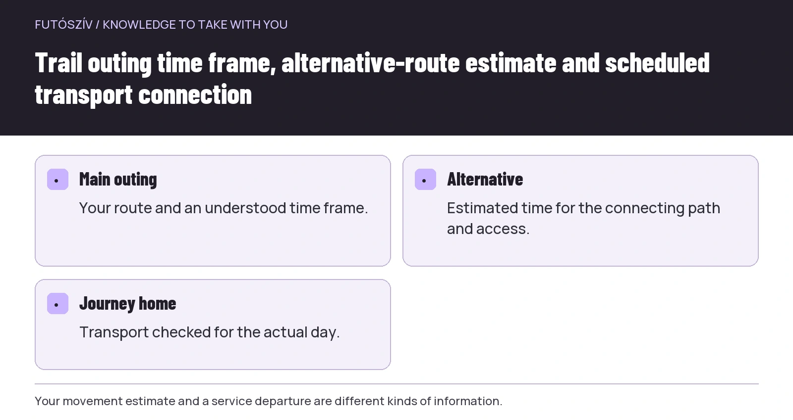
The first is the time frame for your planned outing on the trails. The second is your estimate for completing the alternative route and reaching the stop. The third is the transport service’s actual departure time. Do not merge them into one optimistic finishing time.
Your own estimate may be uncertain, especially on unfamiliar terrain. Position the decision point where you can still make a meaningful choice. If you must complete the loop’s most complex section before reaching the shorter route, it may not fulfil the role you need. Examine the task both before and after the decision point on the map.
Add a source or note to planned times. A service departure can be checked timetable information; time spent moving along a path is your estimate. Making this visible helps identify which element needs updating after a change.
 Enlarge diagram
Text version of the illustration
- Main outing
- Your route and an understood time frame.
- Alternative
- Estimated time for the connecting path and access.
- Journey home
- Transport checked for the actual day.
An illustrative example of a loop close to base
Imagine a loop starting in a settlement at the forest edge. The main version also visits higher ground, but a waymarked path from an early junction returns to the other edge of the settlement. From there, a checked pedestrian connection leads to the starting place. The runner chooses this for a first visit because they understand the shorter version as a complete outing in its own right.
On the plan, the early junction is not simply labelled “exit”. The runner adds the return waymark, the next recognisable point and the connection into the settlement. Before leaving, they check current access to the main and shorter routes. If they encounter a new restriction on site, they do not automatically follow the saved line.
At the decision point, they need not prove that things are difficult enough to justify shortening the outing. The preplanned shorter version is a legitimate choice. The main lesson of the first visit may be following the route and using equipment. The longer section can wait for a later, better-informed outing.
Share this version with your companion or someone staying at home too
If someone knows about your outing, give them more than the long loop’s map. Describe the shorter finish and planned communication too. Make the agreement specific: which change will you report, and what is the next step if the outing does not end as planned?
Use the same name for the exit point in both sets of notes. A local nickname or an app’s abbreviated label may not be clear to the other person. If using coordinates or a map link, check that it points to the correct location and makes clear which route leads there.
Live location sharing is a separate technical option, not a substitute for discussion. It can be delayed, interrupted or fail to update. The person at home needs to know your intended outing and how to interpret a lack of contact. If urgent help is needed, seeking appropriate assistance takes priority over updating a social app.
Equipment and information should match the same outing
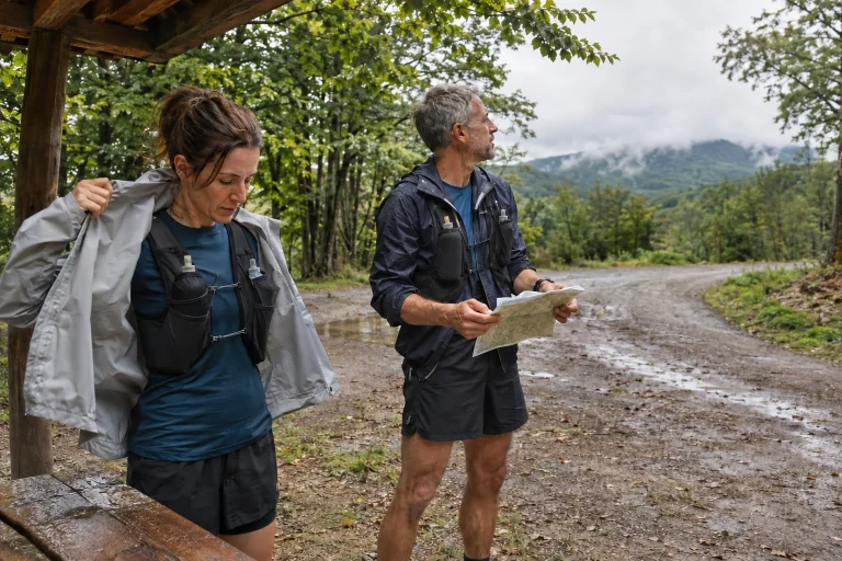
A shorter plan is no reason to omit equipment needed for the conditions. The nature of the main and alternative routes, weather, your needs and the planned time together determine preparation. We do not give an identical packing list or quantities for every trail loop here.
Your mapping information must be usable in the way you intend. If relying on an offline view, check the entire main and alternative routes without a connection beforehand too. A downloaded track and the background map may be separate elements. A trial in a familiar place can show what is still missing.
Keep the exit plan in a form accessible without opening a single particular app too. A brief written outline and suitable map together can help if the device is awkward to operate. You must understand your backup as well: merely possessing a paper map you have never interpreted does not solve a navigation task.
What will guide a change at the decision point?
Name in advance what you want to check there in your own plan. For example: can you follow the route, does the time frame still hold, is there new land-manager information, and does continuing suit today’s situation? You need not create a universal test. The questions are intended to make the choice deliberate.
Travel already purchased or a loop announced on social media should not become a compulsory reason to continue. These are organisational and social factors, but they do not automatically make the longer route appropriate. You can gather meaningful experience from a shortened outing too.
If the decision point reveals that the alternative itself is unusable, do not improvise an even shorter cut-through on the trail. Choose an orderly solution from the options you understood beforehand and the information available on site, seeking help if necessary. Recognising uncertainty in the plan matters more than saving the drawing at all costs.
Review the exit plan after the outing too
Check whether the junction was genuinely recognisable, whether the mapped connection matched your experience, and whether the way to the stop or base was usable. Record these even if you ultimately completed the whole loop. Understanding the backup option makes the next outing simpler too.
Date the note. A connection usable today may change later, so add a fresh check to your archived experience before setting out again. If you encountered a problem, provide the precise location and a factual description to the relevant manager or reporting service.
A first trail loop remains a valuable learning opportunity when you finish the shorter version. Knowledge gained through planning, following waymarks and organising your return stays with you. Your next route can build on this real experience rather than a merely desirable kilometre total.
How Futószív articles are prepared: our editorial guidelines.