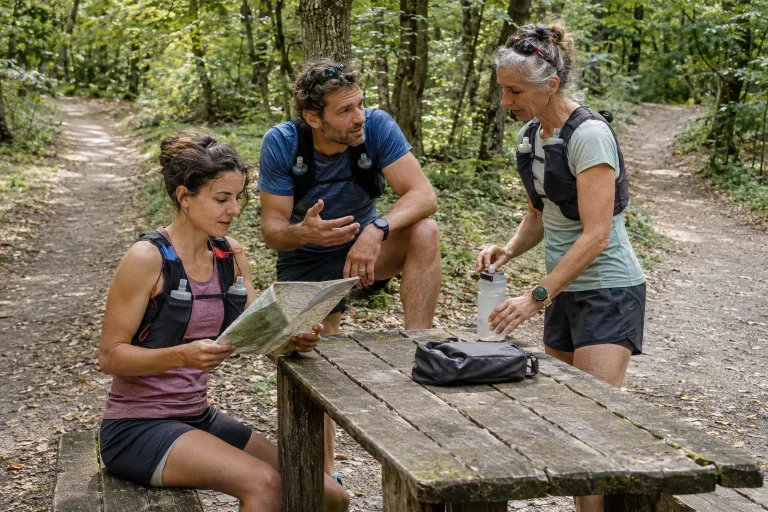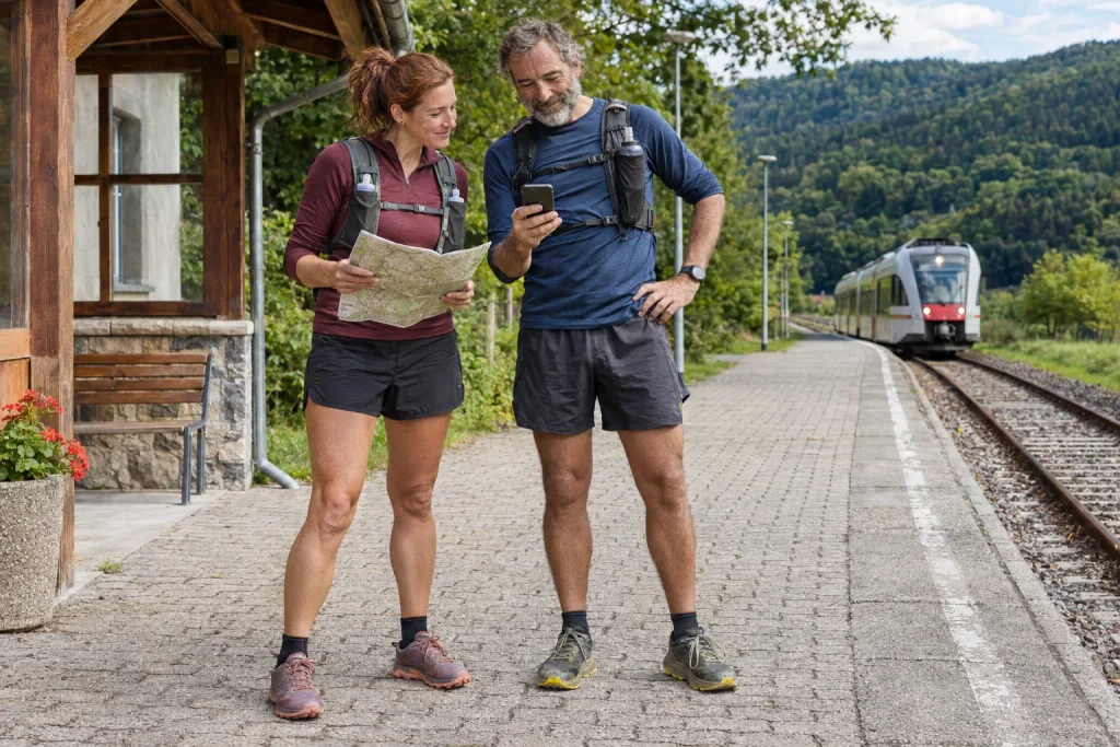
Part of the appeal of a point-to-point trail run is genuinely travelling somewhere: you reach a different valley, town or transport point from where you began. Organising it differs from a familiar loop, however. Marking the course and checking the kilometres is not enough. You also need to get home from the finish, intermediate exit options must work and items needed at departure must not accidentally remain at the other endpoint.
For your first day like this, look for a route whose elements are not all new at once. If the location, terrain, transport and group arrangements are all unfamiliar, judging where uncertainty really lies becomes harder. The guide below organises logistical and route-planning questions. It does not prescribe performance or personalised load, or give a guaranteed journey time applicable to every terrain.
Plan leaving the finish first
An endpoint marked on a map is a usable finish only if you have a manageable plan after reaching it. Check how you will get from there to the bus, train, car or agreed pickup point. The town’s name alone is insufficient: the stop may be farther away, the walking section may climb and the right platform or service direction can matter.
Check return details for the actual day. Weekday timetables may not apply at weekends, and the month can be decisive for seasonal services. Do not confuse the first connection a journey planner shows with the last usable option. If there is only one tight window for getting home, it influences the decision framework for the whole run.
The official frequently asked questions for the Királyrét Forest Railway, for example, specifically note that certain last services do not return to Kismaros. This is not a universal rule for every narrow-gauge railway, but a good illustration of why you must check the particular service’s direction and terminus too. Seeing a train arrive at a station does not prove it will take you home in the direction you need.
Choose easily recognised start and finish points
Name the start and finish precisely so companions can identify them. A large car park, long street or settlement area beside a forest may be insufficient. Use coordinates or a map link if helpful, but add a human-readable description: which entrance, stop or marked junction. The two descriptions together reduce misunderstandings.
Check how you can access the points. A road marked for vehicles on a map is not necessarily open to unrestricted driving, and private land does not become a pedestrian meeting point merely because it is near the route. Check local signs and current information from the land manager. If someone collects you at the finish, agree just as precisely where they can actually wait lawfully.
Do not automatically assume the endpoint has an open snack bar, toilet or covered waiting area. If your own plan needs them, verify opening hours and access separately. You can shape the activity so the day’s conclusion does not depend entirely on one service not yet confirmed.
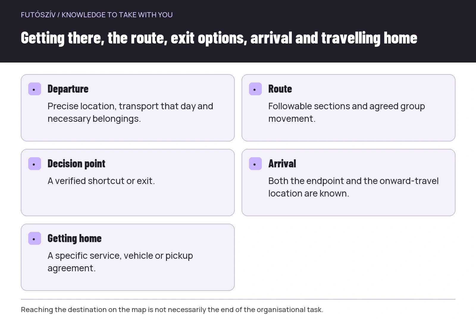 Enlarge diagram
Text version of the diagram
- Departure
- Precise location, transport that day and necessary belongings.
- Route
- Followable sections and agreed group movement.
- Decision point
- A verified shortcut or exit.
- Arrival
- Both the endpoint and the onward-travel location are known.
- Getting home
- A specific service, vehicle or pickup agreement.
Examine the course in sections
Look beyond total distance and ascent. Mark the route’s beginning, important junctions, longer climbs and final approach. Consider separately where the surface changes, navigation may be harder and returning to the start becomes more complicated. On a point-to-point route, moving onwards has different consequences from doing so on a short loop.
The British Mountaineering Council’s guide for beginner hillwalkers also highlights planning the route, transport, difficulty and time. Access rules for a foreign area cannot be transferred to a Hungarian route, but the planning questions remain useful here. Use local maps and current Hungarian land-manager information for your own destination.
At the beginning, choosing a section whose first navigation task is not immediately a hard-to-recognise junction can help. This is not a compulsory format, but one way to simplify uncertainties. If the way onwards is already unclear at the starting point, resolve it first rather than trying to solve it through the momentum of setting off.
The time estimate should include more than running
Allow separately for movement on the route, navigation, group stops and getting out from the finish. Your own experience provides a more useful basis than a stranger’s fast lap time. Terrain and weather can change progress; a familiar time for a road distance is not an automatic estimate for woodland sections.
Make the return buffer visible. If the most favourable version of every stage must happen to catch the last service, the plan leaves little flexibility. A shorter route, earlier departure or different destination may be simpler. The aim is not to conceal uncertainty by assuming ever faster progress.
Daylight is an organisational limit too. Check light conditions for your particular day rather than relying only on the weather around the start. If you plan a daylight outing, a delay should not automatically mean continuing in darkness. Adapt equipment and decision points to the situation you actually intend to undertake.
Identify workable shortcuts and exit options beforehand
An exit point is more than a path descending on the map. It should lead somewhere from which you can actually continue in your circumstances. Check its distance, markings, current access and connecting transport. If no service remains from the other settlement, the exit has only partly solved the problem.
Understand the decision point before reaching the junction. Under which conditions will you choose the shorter version? They might include arriving too late, an unresolved closure or progress harder than expected. You do not need numerical rules for everything, but companions should understand the essential conditions too. The venue should not be where you first discover that everyone understood the backup route differently.
Do not take a shortcut whose access or navigability is uncertain. A straight line on a map is not necessarily a passable path, and an unmarked cut-through can create another problem. If the original plan no longer works, seek a solution among known, checked options rather than the supposedly fastest line.
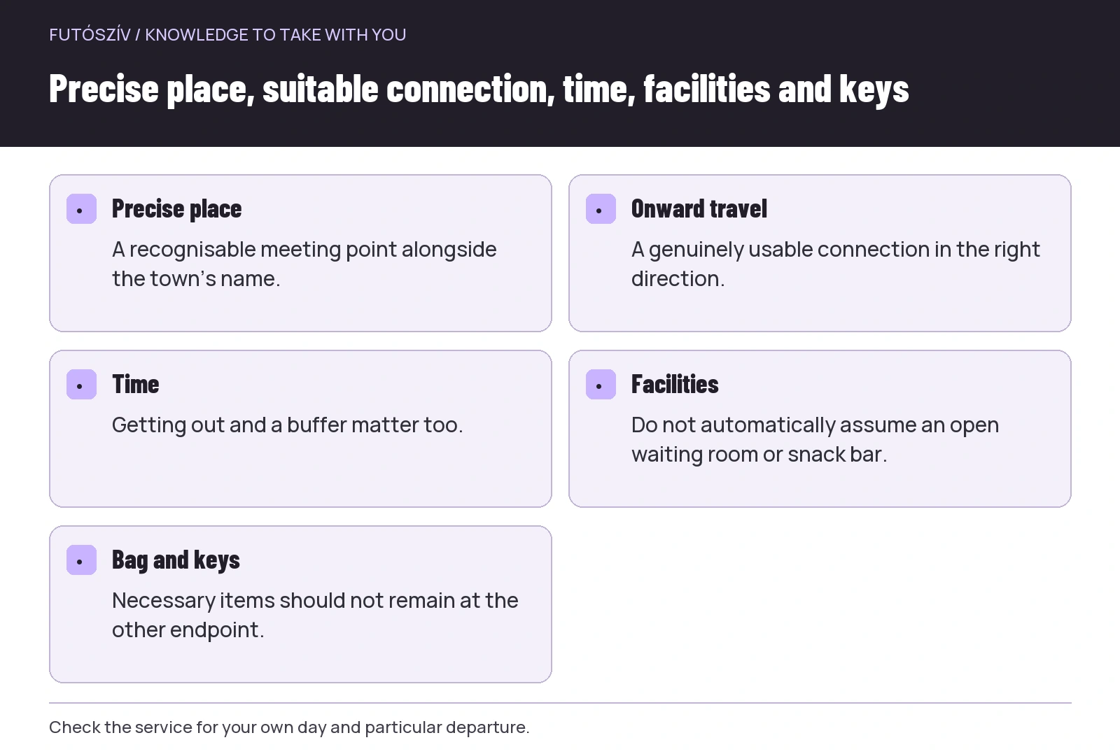 Enlarge diagram
Text version of the diagram
- Precise place
- A recognisable meeting point alongside the town’s name.
- Onward travel
- A genuinely usable connection in the right direction.
- Time
- Getting out and a buffer matter too.
- Facilities
- Do not automatically assume an open waiting room or snack bar.
- Bag and keys
- Necessary items should not remain at the other endpoint.
The starting car and finish bag are separate tasks
With two cars, vehicle positioning, keys and the order of the final journey home all matter. Plan more than getting to the start. Think through where the necessary key, dry clothing and items needed for onward travel will be when the run ends. A key left in the other car can easily disrupt an otherwise well-planned route.
If someone separately brings the finish bag, specify their commitment: at which point and within which time window you will meet, and what happens if delayed. A helper is not a background service available to wait indefinitely. Clarify how to contact one another and what happens if contact is temporarily unavailable. Do not assume the bag will be there on the basis of an old idea alone.
Do not relegate personal items needed during the run to the finish bag just to make departure lighter. Exact equipment depends on the course and conditions, but access during the journey and comfort after finishing have different roles. Separate these two groups in your organisation.
Agree how the whole journey will work with companions
Discuss whether you will stay together, where you will wait and when nobody goes on independently. Different paces are not necessarily a problem, but an unclear reunion can be. On a point-to-point route, someone falling behind may not know the same shortcut or approach to the finish. Do not leave group arrangements to assumptions.
The route data and necessary map should not live only on one person’s device if others can use them too. However, everyone having a file does not establish navigation skills. Assess roles and knowledge realistically. The first day like this should not depend on the group’s single technical device that nobody handles confidently.
Changing departure or abandoning the activity should be named possibilities in the shared plan too. If a necessary condition is not met, you do not need to defend the original goal at any cost. The value of a point-to-point journey does not lie in reaching the same place under any circumstances. Decisions appropriate to the situation undertaken are part of organisation.
A fictional example of a simpler first route
Three people want to run between two familiar transport points. Their first plan is more scenic, but only one tight late-afternoon connection is usable from the finish. The second is shorter, passes several verified junctions and offers several ways home from the endpoint. They choose the second for their first point-to-point day and retain the longer version as a later idea.
Before leaving, they check current access and that day’s transport. At an intermediate junction, they clarify the shorter exit’s direction beforehand. They do not assume catering will be open at the finish; they verify what they need separately or provide for it in their own plan. Everyone records the meeting and return journey under the same precise description.
The example does not choose the hardest route or the one promising the most sights. It creates an activity whose main elements are understandable and verifiable. Experience can be added later: how much organisational time each section required, where navigation was harder and how the transition after finishing worked. Those lessons can build the next, more complex day.
A short pre-departure check
Review the start and finish for your day, the route’s current condition, expected circumstances and actual journey home. Make the necessary map openable rather than merely a link buried in an old message. Use the same route version and meeting arrangements with companions. If there is a contact at home, make the agreed plan and expected check-in clear to them too.
In organisational terms, the activity ends when group members have reached the agreed onward-travel situation. Reaching the mapped endpoint does not necessarily settle the car-key, train or pickup-point question. Plan the conclusion just as deliberately as departure.
You do not need to create an extraordinary story for your first point-to-point trail day. A well-chosen, followable route, workable return and clear shared agreement provide a strong enough foundation. The experience can come from travelling a real route while the organisation continues to support the person arriving at the finish.
How Futószív articles are prepared: our editorial guidelines.