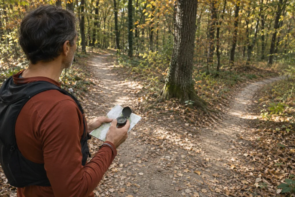
Returning to a junction you previously missed can help you understand specifically what happened. It need not become a test of worth or a flawless repeat of the earlier route. The aim can be simple: identify the approach direction, compare the map with the terrain and create a usable reminder that actually helps next time. A separate, calmly organised visit may be enough.
This article concerns a later return planned in advance. It does not explain handling an immediate case of getting lost, rescue procedures or a universal rule for unfamiliar terrain. Develop necessary navigation knowledge through appropriate instruction and practice. The structure below helps turn earlier uncertainty from a vague unpleasant memory into a route detail you can examine precisely.
First identify the point you are looking for
‘Somewhere after the descent’ may be insufficient. Review the earlier route recording, map, any photograph and where you approached from. A longer route may have several similar junctions. If you cannot identify the place adequately, make that the first open question rather than setting out as though an uncertain point were confirmed.
An earlier recording may not trace an exact line at every metre either. Read device data alongside other references: path shape, terrain, a recognisable junction or known place name. Do not immediately turn a small recording discrepancy into a definite route error. The question is which sources identify the place together.
Record the direction you were travelling too. The same junction can look entirely different from the opposite side. Returning to its coordinates is insufficient if you want to understand why the earlier turn went unnoticed. The original approach is an important part of the question.
Make a new day plan for the return
Earlier conditions may not repeat. Vegetation, light, path condition or access can differ. Check current information for the area and conditions on your own day. A previously used path does not become timelessly unchanged merely because it appears in your recordings.
The Hungarian Hiking Association’s trail-warning page provides starting information about changes and restrictions too. Also check information from the particular site’s manager. If the point is currently inaccessible, a learning aim does not justify ignoring restrictions. Choose another date or another appropriate practice location.
Plan the whole outing with time to stop and interpret the junction. Tying the day to a tight last departure or rushed shared programme can leave little attention for the focused observation. Returning does not necessarily mean rerunning the previous total distance; an appropriately accessible section can suffice.
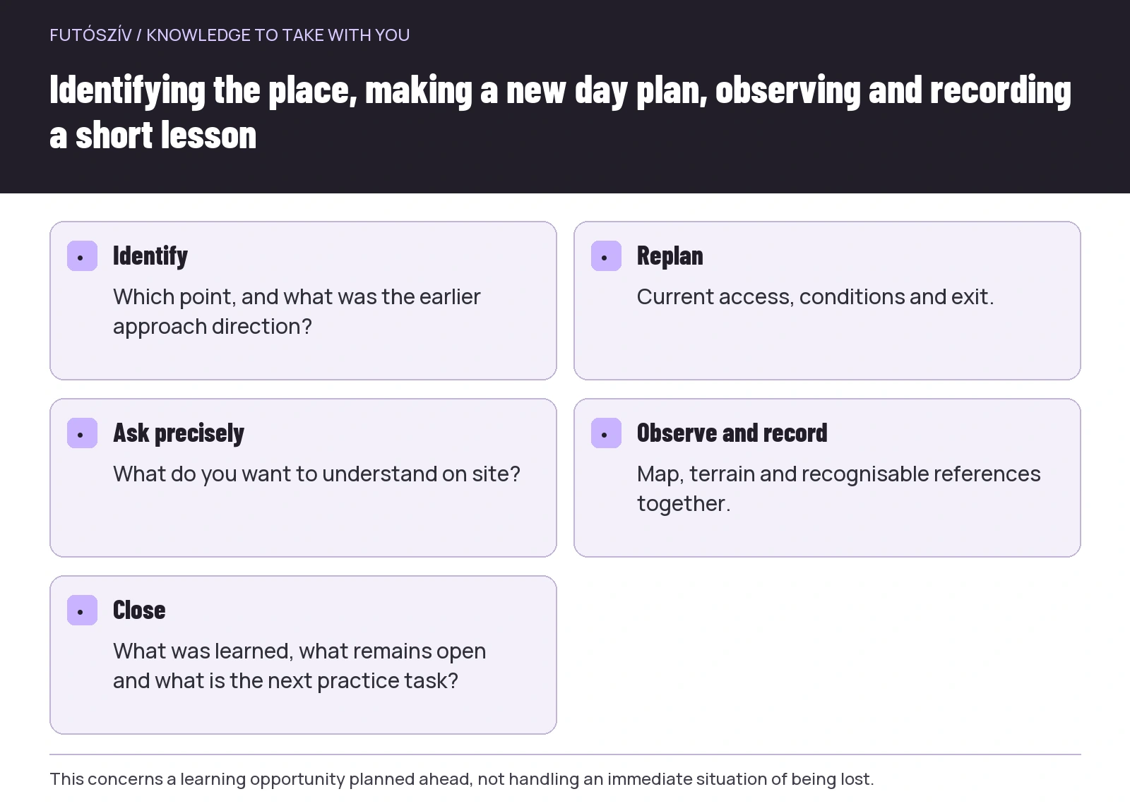 Enlarge diagram
Text version of the diagram
- Identify
- Which point, and what was the earlier approach direction?
- Replan
- Current access, conditions and exit.
- Ask precisely
- What do you want to understand on site?
- Observe and record
- Map, terrain and recognisable references together.
- Close
- What was learned, what remains open and what is the next practice task?
Frame the mistake as a question first
Do not start by assuming you were inattentive or the marking was wrong. Several explanations may apply: you checked another route version, recognised the turn late, misunderstood the mapped junction or the site has since changed. Returning aims to examine these, not confirm a verdict already decided.
Choose a few concrete questions. Where could the necessary direction first have been recognised? Which reference did you expect from the map? Was there a confirming feature you would have looked for after turning? A precise question helps you understand the navigational decision rather than merely cover the same ground.
| Earlier impression | A question to examine |
|---|---|
| I did not notice the turn | When does the junction become visible from the approach direction? |
| The map showed something else | Was I looking at the same junction and route version? |
| The wider path continued straight | What information confirms the intended continuation besides width? |
| I followed my companion | Did I know the essentials of the next section myself? |
| I suspected a deviation late | Which next reference did I expect, and where would I have checked? |
These are not automatic answers. On site, you may discover that part of the earlier memory was inaccurate or the surroundings really changed. Record that as a finding too. Every question does not need one person or object to blame.
Examine the approach slowly in understandable sections
Before the point examined, be clear which route section you are on. Look at the map in relation to the terrain and observe the junction from the approach direction. The Mountaineering Scotland guide to planning and following a route also discusses connecting the map with terrain features. Reading can explain a few principles, but cannot replace skills needed in practice.
You do not need deliberately to repeat the entire earlier mistake. The learning aim may require only examining the impression of the wider path, where the other direction lies and which reference confirms the choice. If access along an alternative direction is unknown, do not automatically treat it as passable for a trial. Understanding does not require testing every branch.
Do not focus only on the phone display. The relationship between map, markings, landforms and actual path gives the place meaning. Equally, a conspicuous path does not replace checking the map and site. The aim is to interpret several references together rather than replace one tool with a single other impression.
Distinguish lasting and changing references
A clearly identifiable junction, landform or permanent structure differs from a movable object or seasonal vegetation detail. A fallen branch, temporary tape or parked car may disappear later. If you use it as a reminder, note its temporary nature.
Trail markings are also part of a maintained system whose elements can change. Do not write a description depending solely on one tree’s momentary condition. Try to understand the relationship between marking and mapped junction. If you notice a visibility problem, report it with a precise location and observation through the relevant channel.
A personal reminder works better as several brief details together: where you approach from, which junction follows, which direction you choose and the next confirming point. This is not a complete navigation procedure but a description of the place examined. Make clear that it records observation on a specific day.
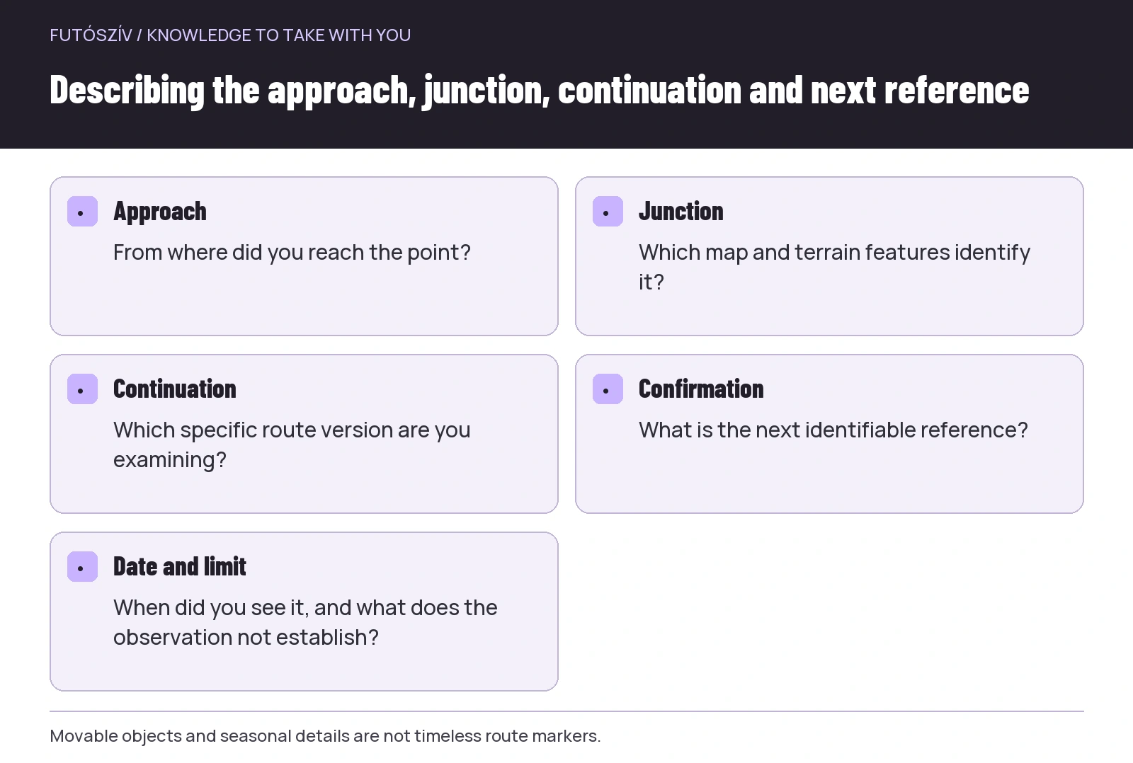 Enlarge diagram
Text version of the diagram
- Approach
- From where did you reach the point?
- Junction
- Which map and terrain features identify it?
- Continuation
- Which specific route version are you examining?
- Confirmation
- What is the next identifiable reference?
- Date and limit
- When did you see it, and what does the observation not establish?
In a photograph, viewpoint is information too
If taking a picture, identify where the camera looks from. An image showing a junction diagonally or backwards can mislead if you later remember it as the original approach direction. A short caption may therefore matter more than another similar photograph. Identify the approach and what you want the image to show.
Do not supplement the picture with your own marking on site. You do not need to tie tape, move stones or break branches for later recognition. A personal learning task does not authorise changing the surroundings or marking system. A map note and precise description are less open to misinterpretation by others too.
Share the image with its year and observation date. Do not promise timeless route safety from it. Explain that on this day, from this direction, you saw this, and current conditions still need checking. Precise limitations prevent a personal lesson from becoming unsupported instructions for others.
If you go with a companion, interpret together
A more experienced companion can point out observable differences, but keep your own thinking involved too. Explain what you expect and see first, then compare. If you merely follow, you may again have no personal basis for deciding at the same point next time. Help should support understanding rather than completely transfer responsibility.
In a shared explanation, distinguish established information from assumptions. Someone visiting the area often does not make every memory a current fact. If you interpret the point differently, inspect the source and terrain again. Quick agreement is not an aim in itself if the important question remains unresolved.
Agree the activity’s length and ending. A targeted return should not gradually become an ever-longer circuit to prove something. If the selected questions have answers, the day has fulfilled its role. There is no need to add difficult points merely to make it seem more serious.
A fictional example of a misunderstood turn
A runner previously continued on a wider path while the planned route turned onto a narrower branch. For the next visit, the goal is not finally being flawless. They want to understand which reference should have revealed the turn. They check current access and the map, then plan a short, manageable approach on a separate day.
On site, the junction proves visible earlier from the original direction than remembered, but the continuing path had drawn their attention onwards. They examine the relationship between approach and next section on the map and make a short note. They do not claim the same choice is correct at every similar junction. They preserve understanding of this particular point.
The lesson is not a general judgement of themselves but a next attention task: identify an important known junction in time and confirm the continuation. They choose appropriate practice to develop necessary skills. Returning thus creates usable knowledge from one situation rather than merely another recording of the same route.
End the notes with what you learned and what remains open
Make a brief summary: place, date, approach direction, observed difference and next learning task. Where uncertainty remains, do not write a completed answer. Separately mark further checks needed because of site changes or marking condition. Organised uncertainty provides a better starting point than unjustified confidence.
On a later run, use the note alongside the terrain rather than as an unchanging command. Navigation requires continuing interpretation, not merely a movement performed from memory. A previously missed junction becomes a useful learning point when you better understand the approach, decision and confirmation of continuation. You do not need to repair the past; building more precise knowledge for next time is enough.
How Futószív articles are prepared: our editorial guidelines.