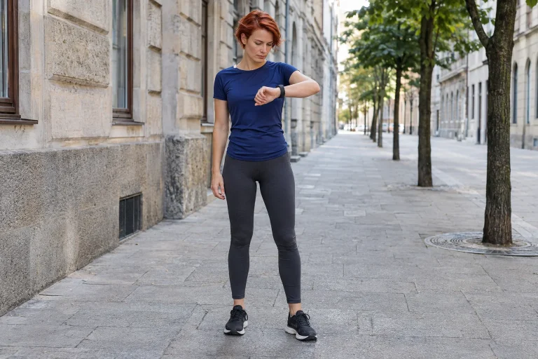
Your watch reported ten kilometres, but the programme connecting the exported points gives only 9.86. Sometimes the reverse happens: distance calculated from the mapped line is longer. It is easy to assume the export has broken the watch’s data or one service must be wrong. First, however, clarify whether you are comparing the same distance data.
An activity file can store coordinates separately from a distance already totalled. A polyline calculated afterwards from points is not necessarily the same as the distance stream produced by the device during the run. Original geometry examples show how sideways uncertainty in points can increase the number and shortcuts between sparse points can reduce it. A specific checking sequence at the end helps establish what you see in your own run.
Coordinates and distance can be two separate fields
The Garmin FIT Activity documentation explains that Record messages may contain both location coordinates and distance data; a Session summary may separately describe total distance too. An export can therefore contain both a mapped history and accumulated distance. A receiving app must decide which to use and what processing to apply.
In our original example, one file point says the runner was here at that moment and the device had counted 2500 metres so far. Beside the next location point, the total is 2510 metres. The distance calculated afterwards between the two coordinates might be nine or eleven metres, while the file’s distance difference is ten. These are not two versions of the same operation; they come from separately recorded fields.
The official GPX 1.1 schema primarily describes geographical points and tracks, optionally with time and elevation. When such a point series is transferred, the receiver often calculates its own route length. Specific extensions and programmes may differ, so the extension alone should not be assumed to define an entire processing procedure. Check the actual fields and their origins.
Position error is not the same as total-distance error
The official GPS.gov accuracy information relates user positioning to satellite geometry, blockage, atmospheric conditions and receiver design, among other factors. Buildings and reflected signals can worsen position data. A measure of signal accuracy in space is not the same as the position error expected from a running watch in every environment.
Individual point errors cannot be turned into total-distance error simply by adding the same few metres at every point. Their directions and temporal relationships matter. If the entire track shifts evenly sideways, shape and length may change little. If successive points jump left and right, their distance sum may grow. The same typical position offset can produce different distance effects.
In an original imaginary route, every point lies three metres east of its true position. In a flat local geometric approximation, distances between points remain unchanged because the whole line has shifted. We appear in the wrong place on the map, yet the line’s length can be correct. This shows why map alignment and total distance are separate checks.
Adding zigzags can increase length calculated from points
In an original deliberately extreme example, a stationary person’s position alternates between one metre left and one metre right. Actual movement is zero, but the distance between each neighbouring pair of reported points is two metres. Simply adding a hundred such changes would give two hundred metres. This is not typical behaviour of real watches and ignores all filtering; it illustrates the problem with purely point-by-point summation.
A similar geometric effect is possible while moving. Points along a straight route fluctuate slightly sideways, making their polyline longer than the straight line. Errors averaging out to left and right does not mean the sum of positive distance segments disappears. Coordinate offsets have signs; distances between two points do not cancel in the same way.
Processors may therefore use filtering or other interpretations of movement. Filtering may aim to remove outliers, but the exact procedure depends on the app. Making the map line smoother afterwards does not automatically bring total distance closer to reality either. Assess the intervention against an appropriate reference and the history of that run.
 Enlarge image
Sparse points join chords instead of arcs
In another original geometry example, the runner follows a quarter-circle with a twenty-metre radius. The arc is a quarter of the circumference, about 31.42 metres. If only the start and end are stored, the chord between them is about 28.28 metres. The difference is 3.13 metres, close to ten per cent of arc length. This is the result of the chosen drawing, not a general ten-per-cent GPS error.
Approximating the same arc with more suitable location points can make the polyline follow the curve more closely. This assumes the points themselves are appropriately positioned. Greater density can therefore preserve the turn’s shape better, while the earlier zigzag effect remains a separate question. Both error sources may occur together: one increases and the other decreases calculated length.
Errors can consequently partly cancel in the final total. In an original example, point uncertainty on a straight section adds fifty metres, while sparse description of corners loses thirty. The net discrepancy is twenty metres, despite more substantial processing differences in both parts. A good overall total does not establish that every point of the entire route is correct.
Distance can come from sensor data, not only retained location points
The official Garmin HRM-Pro Plus manual provides a specific example of using running pace and distance without GPS with a compatible device. Details depend on device, connection and settings. Not every chest strap measures running distance, and source selection differs between watches. The example simply shows that distance can follow a data chain different from coordinate points.
In an original imagined run, location points exist for open sections, while a covered passage has no usable coordinate. The device may still calculate movement from other supported data if that particular system operates that way. The later exported mapped line may be less complete than the recorded distance history. A receiver seeing only coordinates may produce a different result.
In your equipment log, therefore, retain the paired sensor and distance-source settings too. If one of two runs uses another data source, the difference is not a pure GPS comparison. The sensor’s own calibration and conditions of use may be further separate questions. First establish the documented chain; only then judge the result.
The receiving service’s own processing can also change the total
The official Strava distance-calculation description dated 18 September 2026 distinguishes the file’s recorded distance stream from distance calculated afterwards from coordinates. If no suitable distance stream is available, the service may derive length from position data. Import is therefore not necessarily mere display; independent processing may occur.
The separate Strava explanation of discrepancies also describes filtering outliers and reprocessing GPS and device distance in certain cases of faulty data. The app intends to handle bad data, but the result can consequently differ from the watch total. A larger or smaller number alone does not tell you which is closer to the actual route.
In an original working example, a service gives 10.00 kilometres from the original distance stream and 9.92 after coordinate recalculation. The change is eighty metres, but this alone does not reveal the truth. An earlier spike may have disappeared, or a real path between points may have been omitted. The method change is the fact to check, not the selected number’s more favourable appearance.
Horizontal and three-dimensional route length can differ too
Distance also involves how elevation is handled. Our original simple straight hill has a horizontal projection of a hundred metres and a ten-metre rise. Using Pythagoras, the spatial segment is about 100.50 metres. A ten-per-cent gradient therefore does not mean ten per cent extra distance in this geometry example. Gradient ratio and length ratio are different numbers.
A real route may contain many successive segments with different slopes, and elevation measurement has uncertainty too. It is wrong to add every tiny elevation fluctuation to three-dimensional distance without limits as if it were definitely real terrain. Algorithm and data source therefore matter when comparing two- and three-dimensional distance. A label alone does not reveal the complete calculation.
If you see recurrent differences on steep terrain, checking elevation handling is a reasonable next question. If a discrepancy appears in one isolated spike on a flat city loop, another clue probably deserves attention first. This is not an automatic device diagnosis. It adapts troubleshooting to the situation rather than treating every difference with the same generic GPS explanation.
 Enlarge image
How can you locate where the discrepancy arose?
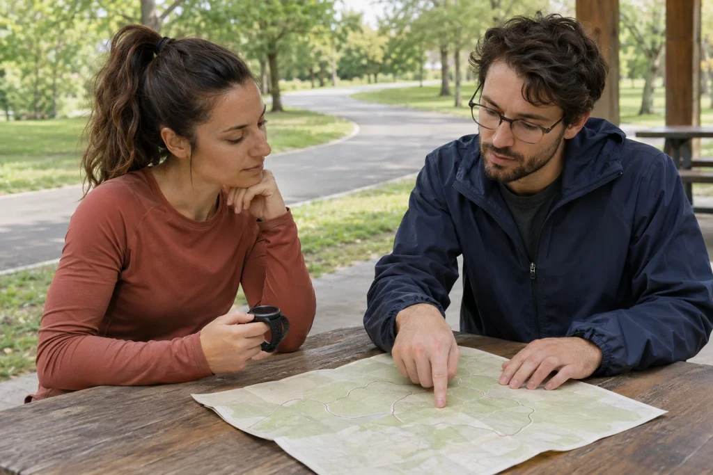
Preserve the original file and note the watch’s total distance. Then check whether the receiving app uses original distance data or recalculates it. Find recognisable points: start, long straight, sharp corner, covered section, stop and finish. Comparing how the total changes section by section may reveal sooner whether there is a local jump or continuous discrepancy.
In an original investigation example, the two distances remain close for the first three quarters of a run, then open an eighty-metre gap under a bridge and stay that far apart. That is a different clue from a discrepancy growing ten metres every kilometre. The first suggests looking for a local event; the second for a persistent calculation or source difference. The example does not predetermine the fault, but gives the check a direction.
Separate the scale of rounding too. A display in hundredths of a kilometre has ten-metre steps, so a difference of a few metres may appear differently on two interfaces. A discrepancy of several hundred metres, however, cannot be explained by one final displayed digit alone. Raw value, displayed rounding and actual processing are three levels. First describe the size and location of the difference accurately.
Choosing the larger number is not an accuracy check
In a training log, keeping the longer distance is tempting, particularly if it brings you closer to a round target. Accuracy, however, requires an appropriate reference and documented method. A familiar, properly measured section can provide a comparison, but your actual running line and measurement environment still matter. Choosing a number to match the desired result does not solve the source problem.
For repeated checks, use the same source and processing method or mark changes. Switching mid-month from the original watch distance to coordinate recalculation changes the method in your log’s totals. That is not necessarily a problem, but later trends require knowing it happened. A consistent series is often more useful than seeking the most favourable number on every run.
Distance from GPS points and a watch’s accumulated distance can therefore differ because they use different data and procedures. Position uncertainty can lengthen a polyline, sparse description of arcs can shorten it, and sensor sources and receiving-side processing matter too. A useful conclusion requires understanding where the difference appears and its data chain. A discrepancy between two numbers alone does not prove the watch has newly broken.
Sources
- Garmin FIT SDK: coordinate, distance and summary fields.
- Topografix: GPX 1.1 track structure.
- GPS.gov: error sources in user positioning.
- Garmin HRM-Pro Plus: documented pace and distance without GPS.
- Strava: official distance-calculation description, September 2026.
- Strava: device and app distance discrepancies.
How Futószív articles are prepared: our editorial guidelines.