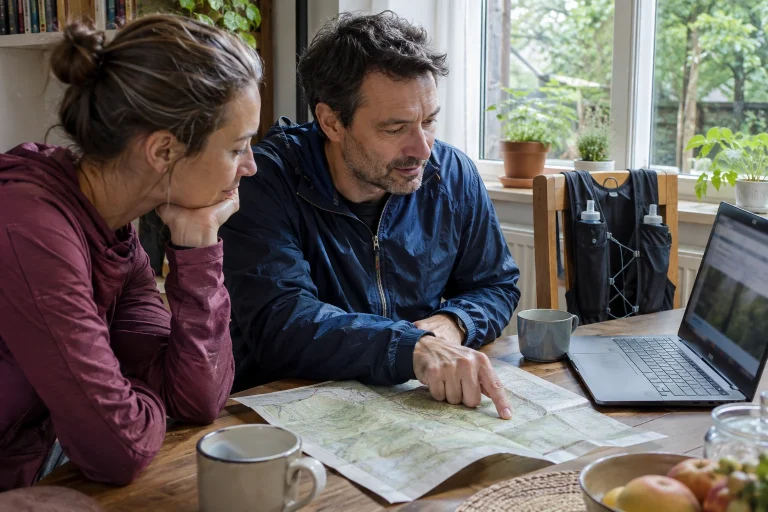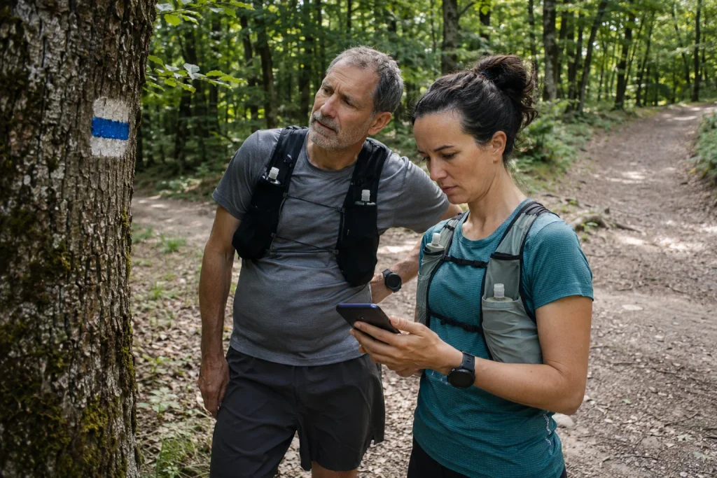
First, notice the contradiction
Your app says the planned route continues left, but the painted waymark appears to point right. Or the map shows a path while a closure awaits on site. The next task is not maintaining your original pace, but clarifying which information conflicts. A quick decision made from habit can increase uncertainty.
A short article cannot solve every navigation situation on the trails. The following framework organises information: what kind of discrepancy you see, what you know about your position and which checked options you have. On complex terrain, appropriate navigation skills and expert help when necessary are basic requirements, not additions afterwards.
Not every sign on site says the same thing
A painted hiking waymark identifies a route. A closure sign provides access information. Race tape may belong to a temporary event. The line on your watch shows saved data. If these disagree, separate their roles first rather than deciding by which looks more modern or familiar.
A mapped line does not override a clear current prohibition. Equally, tape for another event does not prove that your own running loop goes that way. A painted waymark does not mean every point of a previously downloaded route remains accessible in the same way today.
| What you see | What might it convey? | What is the next check? |
|---|---|---|
| Hiking waymark | A waymarked route’s colour and shape | Is this your planned waymark? |
| Closure or restriction | Current conditions of use | Which area and time does it concern? |
| Temporary marking | Direction for an event or other activity | Does it belong to your outing? |
| Saved digital line | A previously created track | Which source and version? |
Assess the situation before searching for a new route
When the route becomes uncertain, create a situation in which you can navigate in an orderly way without obstructing others. Do not start trying several directions because a path looks promising from a few metres away. Moving about at random can make reconstructing where you came from even harder.
The Mountaineering Scotland guide to navigation errors also emphasises calm assessment and gathering information. It concerns mountain navigation; its complex relocation techniques require appropriate knowledge. Here we use the basic principle: understand the uncertainty first, then choose an action.
If there is immediate danger or urgent need for assistance, seeking the appropriate help is the priority. Analysing a mapping discrepancy must not come before necessary help. Always consider your own situation and the surroundings together.
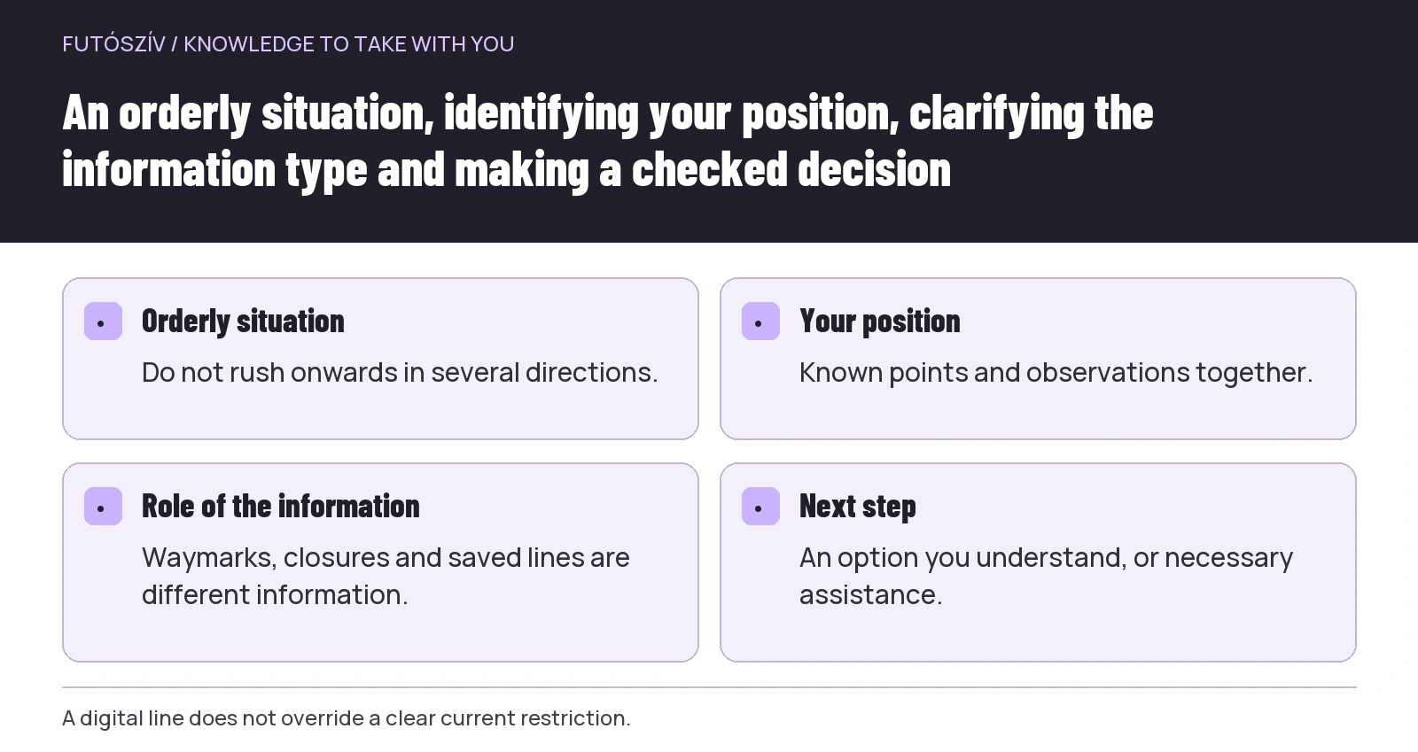 Enlarge diagram
Text version of the illustration
- Orderly situation
- Do not rush onwards in several directions.
- Your position
- Known points and observations together.
- Role of the information
- Waymarks, closures and saved lines are different information.
- Next step
- An option you understand, or necessary assistance.
What do you know for certain about your position?
Do not force the whole map to fit a single detail. A stream, clearing or forestry road may occur in several places. Interpret your position using several mutually consistent pieces of information. Write or say the last point you identified confidently, the direction you came from and what has happened since.
View the device’s position marker with its limitations in mind. A dot appearing does not mean every background-map detail is current, or the marker perfectly accurate at every moment. The saved track and your currently recorded movement can also be two different lines.
With companions, ask each other what you observed. Someone may have noticed a waymark shape at the junction or a sign another person missed. The aim is collecting information, not assigning blame. Sending group members down different unknown paths does not replace navigating together.
Examine four common explanations separately
The first possibility is that you identified a different waymark from the intended one. Colour alone is insufficient; shape matters too. Second, the digital route may be old or another version. Third, mapped information may differ from the site. Fourth, an actual current restriction or rerouting may affect the section.
You cannot automatically select one because it fits the original plan best. A file simply called “forest loop” does not reveal its year. A distant patch of colour on a waymark does not establish its shape. Mark uncertain information as uncertain.
Keep your questions short: same waymark, same year, same distance, same direction? These filter out several simple mix-ups. If the discrepancy remains unclear, the next decision requires new information or another genuinely checked option.
A current restriction changes the outing
The MTSZ hiking-trail warnings publish reroutings, closures and temporary restrictions too. Before departure, check information relevant to your area and period. New information encountered on site can nevertheless add current details that require a response.
If a section is unusable, saving the old track should not be your only aim. You can use a prechecked alternative, end the outing in an orderly way or request appropriate information. The specific option depends on the site, your situation and available knowledge.
The Duna–Ipoly National Park visitor guide emphasises following designated routes. Going around a restriction must not mean an arbitrary cut-through on protected land. An online line being nearby does not itself establish that the intervening terrain is usable.
Returning is not always an automatic solution either
Knowing your last certain point can be an important reference, but assess returning against actual conditions too. Do not impose a rigid rule of always running back along the same path whenever uncertain. Terrain, weather, closures and your condition can influence the appropriate step.
A controlled decision requires knowing which route you understand and what is actually possible. If the original return is known, permitted and suitably usable, it may be a checkable option. Do not treat an unknown connection that looks short on the map as equivalent if it is not.
The value of a backup plan is precisely that you need not think it through for the first time now. A previously reviewed finish or connection to a known base can reduce pressure to improvise. Check the backup against current sources just like the main loop.
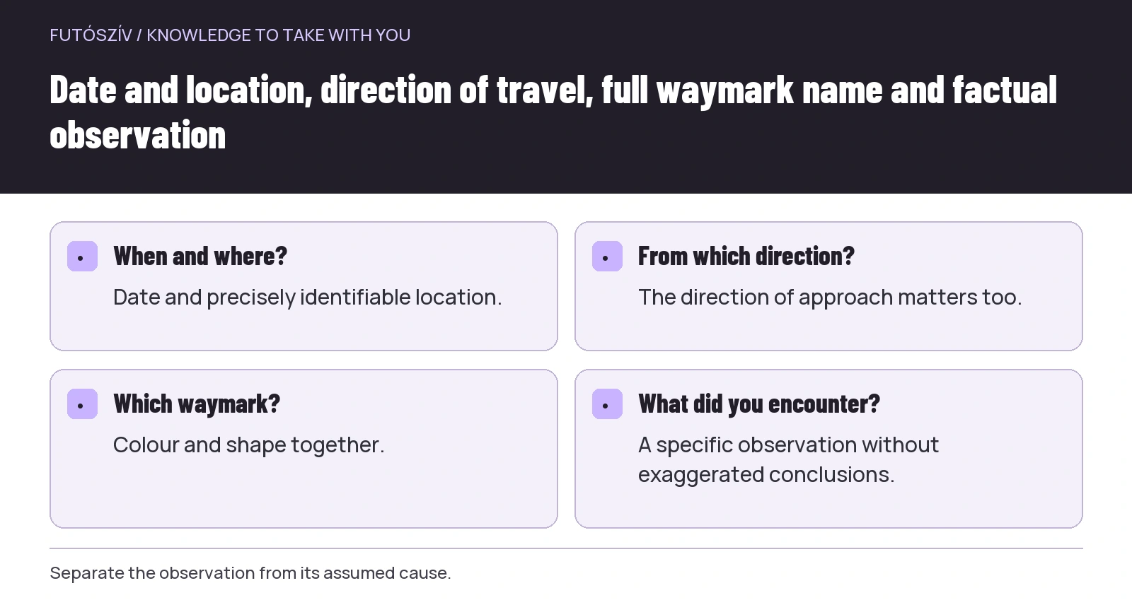 Enlarge diagram
Text version of the illustration
- When and where?
- Date and precisely identifiable location.
- From which direction?
- The direction of approach matters too.
- Which waymark?
- Colour and shape together.
- What did you encounter?
- A specific observation without exaggerated conclusions.
An illustrative example of an old track
A runner retrieves a GPX file saved last year. At one point, the line on the device continues straight while the on-site waymark leads to another branch. The runner first identifies their position and the full waymark name. Then they check the file’s source and whether current route information is available.
In this example, the saved version contains an earlier alignment. The runner does not try to move closer to the old line across the terrain. They change or end the outing according to current information and options they understand. If the situation cannot be clarified, they do not randomly designate a new branch as the continuation of the old loop.
Before the next outing, they check the fresh file and label the old one as an earlier version in their archive. The specific lesson is that a name and successful opening do not mean freshness. A route’s source and checking date belong to the outing too.
Another example: you were looking at a different waymark
In another situation, the map shows a red stripe, but the runner notices a red triangle first. Map and terrain seem to disagree, though they actually concern two different route marks. Clarifying information can resolve the contradiction, provided the runner’s own position is clear too.
The improvement is more than simply paying better attention. The route outline gives full waymark names and a next recognisable point after the junction. At an unfamiliar intersection, the runner makes timely room to check.
These two illustrative examples show different causes. This is why one response to every discrepancy, such as always following the phone or always the painted mark, is unhelpful. First understand which data and on-site information you are comparing.
Record the problem factually
If your situation is orderly and it does not distract from necessary action, note the discrepancy’s location. A useful description can include date, precise place, direction of travel, full name of the affected waymark and what you encountered. Separate your conclusion from the observation.
For example, “I could not see a continuation mark from that direction” differs from “the entire route is wrong”. The first is a specific observation, the second a much broader conclusion. A photograph showing the surroundings and relevant detail can aid identification, but do not enter prohibited or uncertain ground to take it.
A problem-reporting option is also accessible from the MTSZ warnings page. Find the appropriate service or land manager rather than expecting general social-media outrage to produce a repair. A precise report helps when the recipient can establish where and what to investigate.
Do not alter the site on your own initiative
You may not understand the role of an unfamiliar mark, old sign or temporary tape. Do not paint, move or remove markings simply because your map says something else. You may create further uncertainty for others.
Your task may be to organise your outing and forward the observation appropriately. Managing the hiking network and maintaining waymarks are organised responsibilities. If you want to participate, ask the relevant organisation about volunteer work and training requirements.
Editing a route database requires responsibility too. Do not automatically redraw an entire connection from one faulty personal GPS recording. Naming your uncertainty is often more valuable information than a confident but unverified map edit.
What should you keep for the next plan?
After finishing, save the source and version you used, where the discrepancy appeared and how you handled it. Add any later clarification to the note too. This leaves more than a general memory that the map was wrong somewhere.
Choose one concrete improvement for the next loop. Downloading a fresher version, recording full waymark names, understanding the backup route or practising navigation on a familiar section are all actionable tasks. More kilometres alone do not improve information accuracy.
A discrepancy between map and site means one condition of the outing needs clarification. Handling it well means noticing uncertainty, distinguishing information roles and deciding appropriately for your knowledge and surroundings. Only then does completing the planned route become a meaningful goal again.
How Futószív articles are prepared: our editorial guidelines.