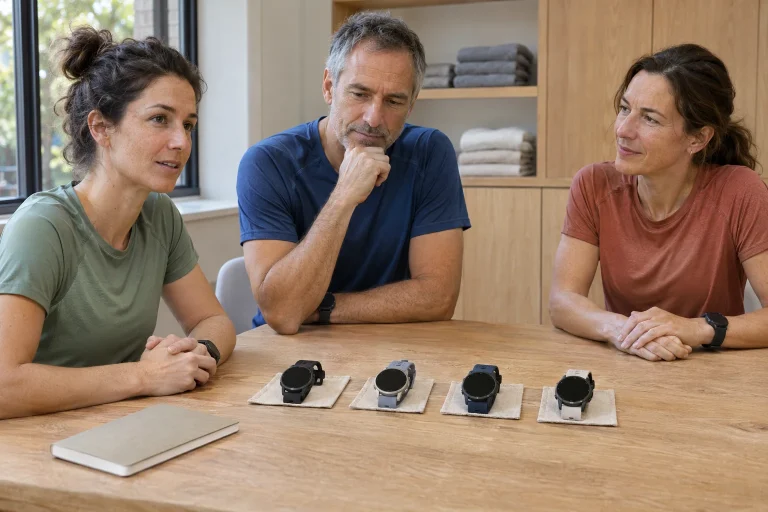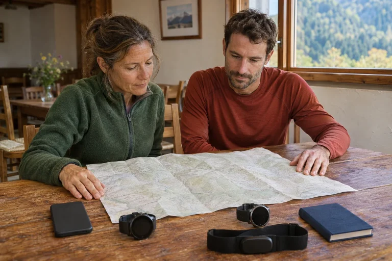
On a mountain-running watch, navigation, readability and time reserves are linked. The APEX 4 offers two sizes and a MIP display, but the larger version’s longer operation also costs size and weight on the wrist. Start with your longest typical day and comfort. This guide interprets COROS descriptions checked in November 2026; it is not our own laboratory or comparative field test.
The 42 and 46 are not one watch in different colours
In the two-size specifications, the 42 case is 42.6 × 42.6 × 14 millimetres and the 46 is 46.2 × 46.2 × 13.7 millimetres. Stated thickness excludes the optical sensor. With nylon, weights are 44 and 51 grams; with silicone, 56 and 64 grams. Displays are 1.2 and 1.3 inches respectively. Do not pair the smaller version’s weight with the larger version’s battery life in your comparison.
Imagine both sizes with a long-sleeved top too. On a mountain day, you take a bottle from a vest, may put on gloves and sometimes view a map. The case should remain comfortable when the wrist is not perfectly straight. A larger display’s advantage can shrink if the case turns or interferes under clothing. Fit testing should include movement, not only an outstretched arm before a mirror.
According to the watch-strap compatibility table, the 42 APEX 4 uses the 22 millimetre strap family and the 46 uses 24 millimetres. Check retaining an existing strap against exact size and fastening. Similar names do not establish interchangeability. If planning a spare for long use, confirm it fits your variant rather than choosing only its colour.
Assess the MIP display in your own lighting
The product introduction highlights a third-generation, continuously visible MIP display, sapphire glass and titanium frame. Do not treat the manufacturer’s readability claims for sun, snow and shade as an independent study covering every type of vision and setting. Your light, font size and content matter together when choosing AMOLED or MIP. A striking indoor watch face does not settle mountain map readability.
Request a data page with the fields you actually use during a trial. Look briefly, then check it in shade too. On the map, check recognition of your position and intended line rather than only the background colour. Higher resolution does not by itself mean easier reading, and different display technologies’ catalogue brightness figures should not become one simple ranking.
For evening training, backlight settings are part of the decision too. Frequent wrist raises create a different usage pattern from long map viewing. Learn which button reliably returns to the desired view. A useful display provides the information for the next decision briefly rather than encouraging constant viewing.
 Enlarge image
65 hours belongs to a particular power mode
The current battery table gives the 42 version 41 hours in Endurance, 34 in All Systems and 26 in Dual Frequency. Corresponding figures for the 46 are 65, 53 and 41 hours. Daily-use estimates with sleep and stress tracking are separately 15 and 24 days. Do not describe the large advertised figure as dual-frequency recording. Size and satellite setting together identify the row being compared.
Some manufacturer guides use High and Max inconsistently: one setup-page list reverses the names relative to the dedicated specifications. The figures above therefore identify All Systems and Dual Frequency operation using the dedicated battery table. Read the detailed mode description in your watch’s current menu. Do not resolve an uncertain label by attaching the biggest number to it.
For a long day, note expected travel time and required functions separately. Route following, music, backlighting and accessory connections may change consumption. A manufacturer’s maximum is not a guaranteed personal completion time. An earlier familiar run with the same settings can help you understand use, but is not a constant for all weather. Getting home and staying in contact belong in the backup plan too.
Background map, route line and turn alert
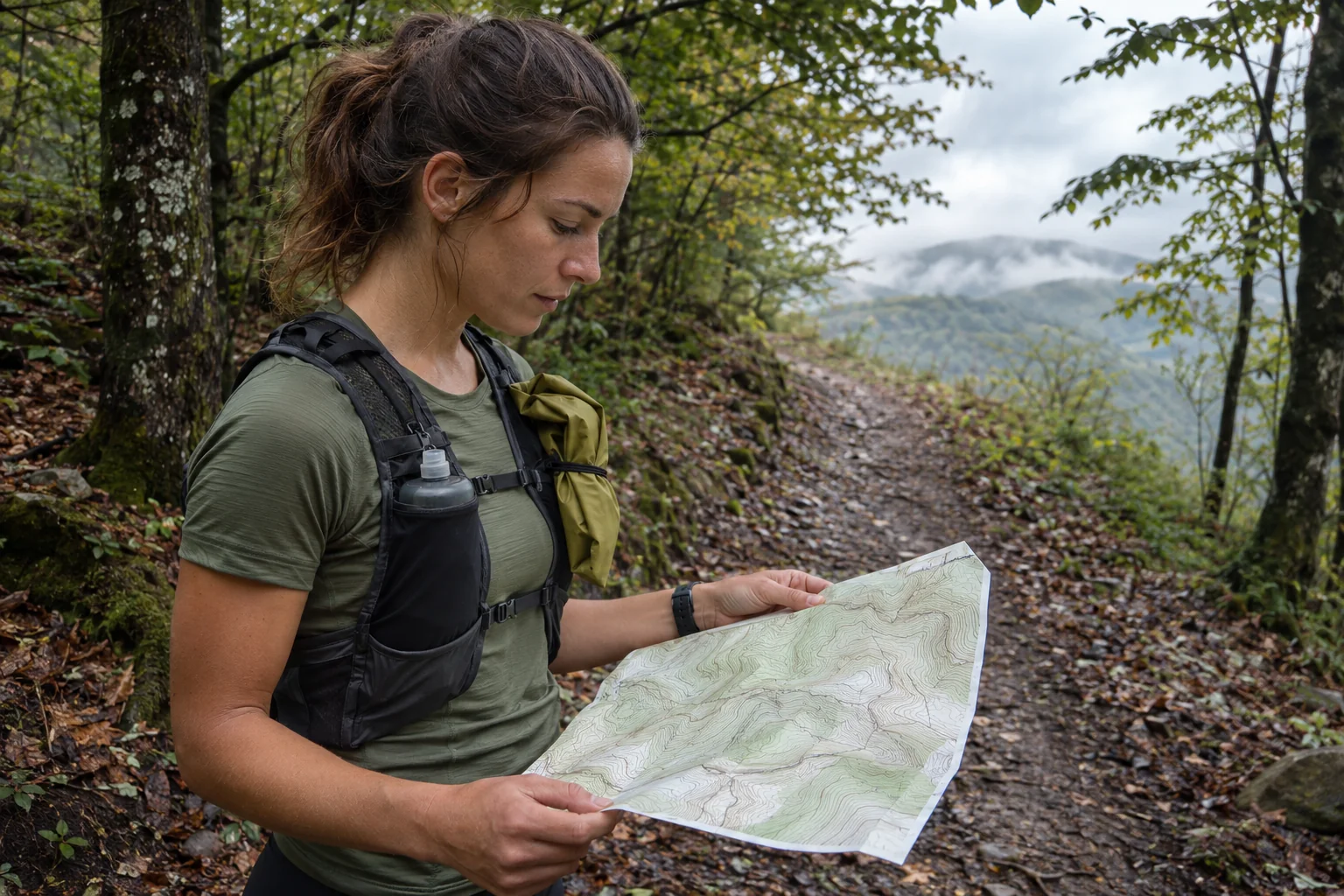
The APEX 4 activity guide treats downloaded maps, routes sent from the app and navigation settings separately. It says turn reminders can be enabled in Run and Trail Run. Route direction, elevation-profile preview and off-route alerts are separate tasks too. Opening a map does not establish that you are following the desired route in the right direction with alerts active.
Check the first few junctions before leaving. On a loop, the branch where the circuit begins matters particularly. Reversing a route changes logistics if meeting points or water stops then occur in a different order. Good preparation does not mean memorising every turn, but knowing major decision points. The watch supplements these with information about your situation during the run.
Practise switching between map and data pages on a short familiar loop. If you want to understand an off-route alert, do so safely somewhere known, rather than deliberately wandering on a new mountain trail. The absence of an alert does not prove the right direction in every situation. Actual trail signs, maps and the prior plan provide context together. Stopping to clarify uncertainty is part of navigation.
Altitude and elevation gain are different data
The APEX 4 description lists a dual-range barometer and a vertical-positioning algorithm. The altitude-measurement explanation links pressure-derived barometric data with GPS checking and calibration. This is an estimation process, not a tape measure validating every metre perfectly. Current altitude and accumulated ascent over a route answer different questions from the outset.
An original example: moving from a start at four hundred metres to a finish at six hundred gives a net difference of two hundred metres. If you also descend seventy metres and climb back, total ascent can be greater. This is simple route logic, not the formula for COROS’s accumulation algorithm. Start-to-finish altitude difference alone cannot calculate all climbing. Check the profile’s shape and the name of the summary too.
The guide to external influences notes that weather-related pressure changes can alter barometric altitude. Calibration using a known altitude or GPS is still not a guarantee of perfect accuracy. If returning to the same point yields another value, first consider measurement conditions and processing. Do not automatically turn the difference into real extra climbing.
Voice Pin preserves an observation from the location
According to the pins user guide, microphone-equipped models including APEX 4 can create a Voice Pin directly on the watch. The point can later be edited, and its note recalls why you marked it. During mountain reconnaissance, linking a coordinate with your observation can be especially useful. It does not become official route information or a permanent terrain rating.
A good note might say, ‘The upper junction was hard to see approaching from the valley’. This retains viewpoint and reason. ‘Bad junction’ says much less and could mislead from another direction. Record a precise observation briefly while stationary. In later route briefings, separate personal experience, map data and information still needing current checks.
The manufacturer says the speaker and microphone can also support spoken activity alerts and hands-free calls, but the specifications list Bluetooth for the phone connection. That does not make the watch an independent mobile-network device. A voice pin, voice control and a call may work through different paths. If a particular audio feature is decisive, check it with your phone and permissions; one sound does not validate every other audio option.
 Enlarge image
A controls routine for mountain use
The setup guide assigns separate tasks to the crown, Back/Lap and Action buttons, offering custom map switching or pin recording. Touch can be restricted to the map, for example. Decide what each button does and which lock you use before training. Familiar physical actions may be easier to recall with gloves, but test that with your own equipment too.
Do not complicate a trial with every function at once. Start, pause, resume and save first; map switching next; less-used audio and pin tasks last. This makes errors easier to identify. Check that the finished recording contains the intended section and full outing. Successful control use is separate evidence from GPS accuracy or training effectiveness.
Do not leave learning the entire setup until the day before an important event. The release notes describe November page-order customisation; this or an earlier menu rearrangement may alter familiar steps. Briefly work through frequent actions after an update. Practice does not express mistrust of the watch; it ensures your actions and the actual software state agree.
Base the choice on your mountain day
The 42 may offer a smaller feel and lighter complete setup; the 46 a larger display and longer manufacturer-stated operation in the same physical GNSS mode. Do not let the longest catalogue figure decide alone. If your chosen mode on the smaller version provides a suitable reserve, another consideration may matter more. For regularly very long days, the larger version’s runtime difference may become more important.
The APEX 4 MIP display is valuable if it works well in your lighting and reading habits. Maps help when you open prepared coverage and an understood route. Elevation data provide context when altitude, total ascent and measurement uncertainty can be read separately. These are distinct benefits; they need not be merged into a general ‘mountain accuracy’ label.
Before leaving, include expected arrival, definite meeting points and the way home in the shared plan. Add human organisation alongside a downloaded route. No device can decide for you whether the original loop remains appropriate in current terrain and weather. The APEX 4 can be a navigation and logging tool with a specific, clear role in a well-prepared running day.
Sources
- APEX 4 product introduction
- APEX 4 two-size specifications
- APEX 4 setup guide
- Activity and turn alerts
- Current battery table
- How altitude measurement works
- External influences on altitude data
- Voice Pins and waypoints
- Watch-strap compatibility
- APEX 4 release notes
How Futószív articles are prepared: our editorial guidelines.