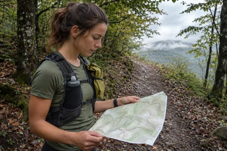
The same hill, two different height references
In two exports of a run, the climb begins in the same place and the summit coincides, yet one curve remains tens of metres above the other. It is easy to call the difference a faulty sensor. First, however, establish the reference from which height was calculated. Two correct numbers referring to different surfaces need not be identical. Several geodetic and software approaches may lie behind the everyday phrase height above sea level.
In geometric terms, GNSS measurement may provide height relative to an ellipsoid. Connecting it to physical height systems used on maps requires a further model and knowledge of the reference system. NOAA National Geodetic Survey explains the principles through conversion between GPS height and the American NAVD88 system. The theory in the example is useful, but its American model is not a correction value for Hungary. Source: NOAA NGS, height relationships.
For a runner, the main question is not performing survey-grade conversion. First decide whether you see a constant baseline offset, variable measurement noise or another processing difference. If the curves have similar shapes but are shifted vertically, reference level is one possibility to investigate. This is not yet proof. Keep observation and explanation separate until the data’s origin is clear.
Ellipsoid and geoid are not two nearby water levels
An ellipsoid is a mathematically defined, regular reference surface. A geoid, by contrast, is a level surface related to Earth’s gravity field. The distances between a point above a mountain and the two references can therefore differ. This does not mean the mountain grew between measurements. You express the same point’s position relative to different bases. This conceptual distinction matters more than any round metre value appearing in an export. Source: USACE, ellipsoid and geoid.
The usual relationship presented by NOAA is h = H + N: h is ellipsoidal height, H orthometric height and N geoid height. Interpret the formula with those definitions; not every Hungarian height datum should automatically be called orthometric. Another physical height system may require an appropriate conversion. Here the formula helps distinguish the bases rather than replacing a professional transformation for the specific reference systems. Source: the relationship between heights.
In our numerical example, let h = 180 metres and N = 40 metres; under the definitions above, H = 140 metres. The 40 metres represents a model value between two bases rather than measurement noise. These are simple invented numbers. They do not describe a Hungarian viewpoint and must not be copied into a running watch correction. The illustration shows how a large discrepancy can arise between heights expressed relative to different references.
 Enlarge image
Why is an American correction unsuitable for a Hungarian run?
GEOID96 and NAVD88 in the American explanation belong to specific areas, models and reference systems. Their values cannot simply be added to or subtracted from Hungarian coordinates. Even the sign depends on exact definitions rather than a general rule learnt online that “GPS is always this much higher”. A discrepancy merely resembling an example’s size does not establish the same cause.
Hungary’s GNSSnet EHT service illustrates how specifically official conversions relate to systems: it describes coordinate transformation between ETRS89/ETRF2000 and EOV with a named database and procedure. This does not mean an unknown-origin sports-watch height can be copied there and automatically restored. You first need to know the input system. Source: GNSSnet EHT, official local spatial transformation.
Begin by investigating origin in your log rather than correcting data. Which device recorded? Which export did you use? Did the app modify height? Is the reference level documented? If an answer is missing, do not “repair” the data with an arbitrary constant. Marking uncertainty preserves the original recording and lets you return later with a reliable explanation.
A GPX field name is insufficient to prove origin
GPX 1.1 documentation lists an optional ele elevation field and a separate optional geoidheight field for points. The format’s capability does not mean a particular exporting program fills both or preserves all original height metadata from the device. The existence of ele cannot reveal the complete processing route. Investigate the exporting app’s documentation too. Source: GPX 1.1 point type.
Two GPX files may differ because one comes from an original recording and another from an activity processed by a platform. The extension is identical, but data origins may differ. Track download method and time. If enabling an elevation correction in the app, note it with the file. A number opened later does not itself reveal which intervention produced it.
If a field is missing, do not fill it with zero merely to make spreadsheet calculation convenient. Missing height and zero metres mean different things. Likewise, a missing geoid value does not establish zero difference between ellipsoid and physical height reference. Mark missing data separately in the analysis copy and leave the original unchanged. A format omission then does not become an artificial cliff in the elevation curve.
A constant offset is not the same as elevation gain
Let an example height series be 100, 110, 105 and 120 metres. Successive rises total 10 + 15, or 25 metres. Adding exactly 40 metres to every point gives 140, 150, 145 and 160, with rises still totalling 25. Starting height changed, but the differences did not. A truly constant baseline offset alone therefore cannot explain a large discrepancy in total elevation gain.
The situation differs if the gap between the curves varies along the route. Point-by-point differences can then enter the differences between neighbouring values too. You cannot state in advance how large this effect will be on a short Hungarian run, however. That would require knowing the models and actual processing. The simple offset exercise demonstrates mathematics rather than providing a universal geoid correction for the summary.
If one platform calculates more ascent, examine small fluctuations and processing methods too. Many small upward movements can add up even with similar start and finish heights. The short example series 100, 101, 100, 101, 100 gives two metres of positive increments, although start and finish are identical. Not every such wave is a real hill. The ascent-total question therefore extends beyond the curve’s vertical position.
How can you distinguish noise from a persistent baseline difference?
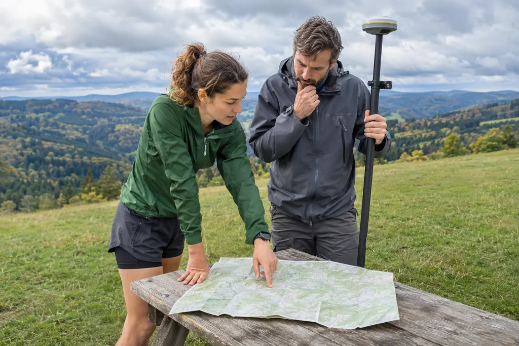
Compare the same places first. If graph distance axes were produced differently, the same kilometre figure need not identify the same point on the ground. Find recognisable route sections and observe both curves at the start, summit and a later corresponding location. A shift in the whole series may produce a different pattern from a spike in one short section. The precise cause still needs separate verification.
Create a three-column worksheet: identified point, first height and second height. Calculate the difference at every point. In an example, discrepancies of 39, 41, 40 and 40 metres suggest a possible persistent baseline difference. Values of 0, 20, minus 8 and 35 metres are less well described by a simple constant shift. These are invented observations rather than ready-made diagnoses of a sensor or export.
GPS.gov identifies several environmental and receiver factors in positioning results. This reminds us that actual measurement uncertainty may coexist with reference-level differences. Clarifying the bases does not make every outlier correct. A single unexpected peak in one series should not be explained away through a geoid story. Seek an explanation suited to your observed pattern and leave the unproven part open. Source: GPS.gov, factors affecting receiver results.
 Enlarge image
What should you ask the app’s support team?
Include the recording device’s full model, download route and formats of the two files compared. Describe whether the curve is approximately constantly offset or differs only at certain points. The key question could be: “Which reference surface does the export’s elevation field refer to, and was any model-based or other in-app correction applied?” This helps more than simply asking which number is real.
If the provider documents the origin, retain the link alongside your note. If it does not answer, do not guess the model on its behalf. “Undocumented” limits physical-height comparison between the files, but does not make all data worthless. A well-recorded run’s time, route or section may remain useful for another question. Interpretability can be assessed field by field.
For public help requests, choose a neutral route excerpt where possible and disclose no more personal data than needed. Clarifying a reference level often needs only the field name, export process and a few properly contextualised values. If an original file is required, send it through an official private channel. Explaining a technical discrepancy does not automatically justify making all home routes public.
A useful log preserves the meaning of height too
Keep a separate working copy alongside the original if comparing or converting. Name the modification: your own illustrative constant offset, platform elevation correction or documented transformation, for example. These labels are not interchangeable. Preserving the original lets you reassess the recording with later information without confusing measured and personally modified versions.
For your running comparisons, use a consistent source where possible and mark platform or correction-mode changes. Do not infer a new, larger mountain from a changed height reference; when total ascent differs, do not stop at the constant-offset explanation. These data ask different questions. Start height and workout ascent are interpretable when you know the series and procedure used to calculate them.
The difference between ellipsoidal values and those in physical height systems is a real technical concept, but not a universal excuse for every faulty curve. The precise task is tracing origin: reference, model, export and processing. When known, a persistent discrepancy may become understandable. When unknown, honest uncertainty is better than an invented correction. This turns elevation data into a useful running log rather than merely two numbers arguing with each other.
Sources
- NOAA NGS: GPS heights and height references
- GPX 1.1 schema
- GNSSnet: EHT
- GPS.gov: positioning accuracy
- USACE EM 1110-2-6056: height reference surfaces
How Futószív articles are prepared: our editorial guidelines.