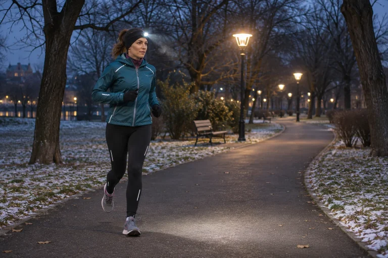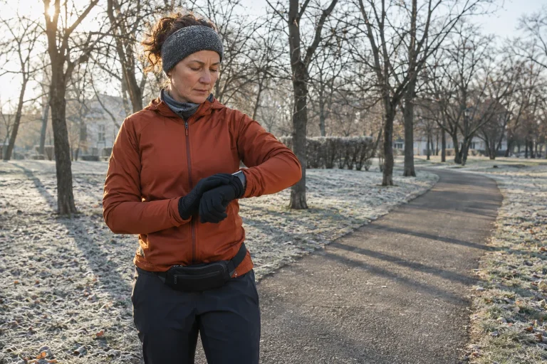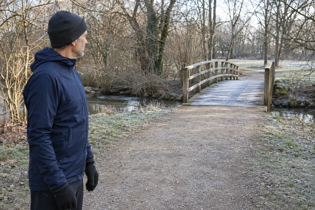
During the first kilometre, the pavement appears dry and your phone shows plus two degrees, yet the next footbridge has an icy surface. This is not necessarily the phone’s fault. Displayed air temperature differs from walking-surface temperature, and a bridge exchanges heat differently from an adjacent road built on the ground. One number assumed to apply to the whole loop may therefore be insufficient to judge the actual crossing.
This article explains the physical background and practical route planning for runners. We provide no method for testing ice while running and promise no shoe will solve every icy crossing. Original situations explore choosing another loop before the bridge, sharing useful information and why waiting for the next whole degree on the phone is insufficient.
Air and walking surface: two separate temperatures
The Met Office explanation of frost and ice notes that some surfaces can become colder than the air above at night. Surface frost can therefore occur while normally reported air temperature remains positive. Materials and conditions differ: frost on grass does not prove neighbouring paving is identical, and absence of frost is not a full surface assessment. Cloud cover also affects night-time surface heat loss.
For runners, the point is not to mentally add ‘on the bridge deck’ to an app’s temperature label. Find whether the source provides observation or forecast and for which location and time. A nearby station and the actual crossing are different measurement points. Precise-looking plus two degrees does not automatically describe every square metre of the route.
For an original illustration, imagine two measurement points: one characterises air and the other paving. If the first is positive and the second below freezing, you have not received contradictory answers to the same question. You observed two different quantities. We installed no instruments and report no real-bridge data; the thought experiment clarifies different objects of measurement.
Why are bridges particularly relevant?
PennDOT educational material contrasts the thermal role of earth beneath a ground-supported road with a bridge exposed to air below too. Cold air may surround the structure on several sides, allowing its surface to reach conditions suitable for icing earlier than neighbouring road sections. NWS winter information highlights the same exposure difference. This explains a known risk situation, not a claim that every bridge freezes first on every winter day.
Think beyond major river crossings. A short footbridge over a stream or elevated passage on a running loop is also a separate route element. The useful question is not whether it is impressive enough to count as a bridge, but whether its structure and exposure differ from its surroundings. Recording the location prevents it disappearing into a park path with entirely different construction in your winter plan.
Mark both the crossing and the junction available before it in your route description. If the bridge is needed only for a longer loop on the far side, the decision can come before approaching. ‘We will find out there’ is particularly awkward if the group spreads out and the first person reports from mid-bridge. Brief discussion beforehand offers a clearer alternative than guessing on site.
 Enlarge image
Moisture and preceding conditions matter too
The question of ice cannot be settled from current air temperature alone. NWS winter information includes refreezing water from rain or snowmelt. It also warns that shaded areas may remain icy while sunny sections differ. A wet place from the previous day may therefore deserve attention in the morning, but memory alone does not replace present conditions.
Freezing fog involves another process. NWS fog information explains that tiny supercooled droplets can freeze on exposed surfaces near or below freezing; ice can form on steps, railings and pavements. This does not mean every foggy morning above zero creates an icy bridge. It shows that lack of heavy rain alone does not prove a wholly dry, ice-free surface.
Keep preceding conditions and current observations on separate lines. For example: ‘water flowed towards the crossing entrance yesterday’ and ‘the whole walking surface cannot be seen from here today’. These are separate information, neither an ice-thickness measurement. The aim is not to rate the surface at home, but to recognise uncertainty on that element of a familiar loop. If no safe alternative exists, changing or postponing the run is valid too.
The appearance of thin ice is not reliable permission
Met Office travel advice specifically mentions hard-to-see thin ice often called black ice. The name does not mean ice must be black material: the paving beneath may show through. Do not classify a dark, apparently wet surface as ice-free based on colour alone. The recognition limit matters more than perfectly naming the layer you see.
Our decision rule is simple: do not experiment on a suspicious crossing through acceleration, braking or trial steps. Proving ice is present is not required before avoiding an uncertain surface. Change the route from secure ground and consider traffic, visibility and permitted pedestrian paths on the detour too. Stepping outside the railing or onto an unfamiliar bank is not a planned alternative.
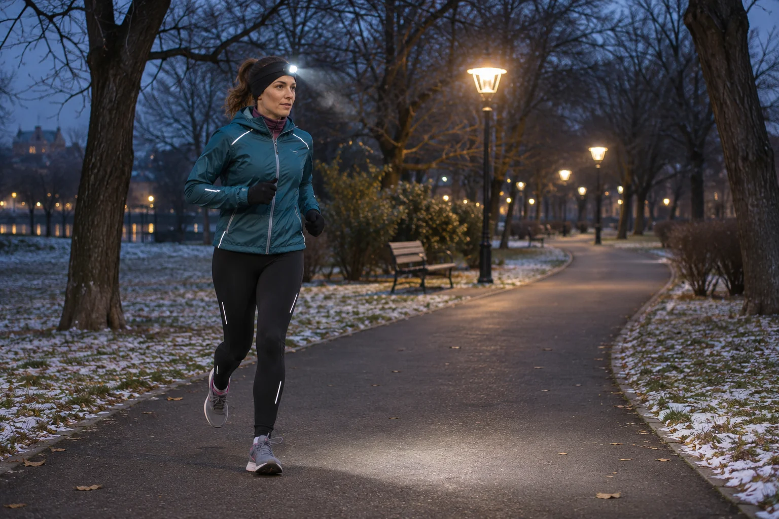
Sole tread does not validate on-site conditions either. ‘I am wearing trail shoes’ is an equipment fact, not a grip measurement of that bridge. Running lights can reveal detail, but a brighter image does not exclude every thin ice layer. Use these objects in their proper roles instead of expecting a promise they cannot fulfil there.
An original two-loop plan for a footbridge route
Imagine a fictional park with a two-kilometre inner loop and a five-kilometre route when extended across the bridge. Our example map rates no real location. In its winter version, the inner loop stands alone and the branch beyond the bridge is a separate choice. Omitting the crossing becomes use of a known route variant rather than a sudden failure.
| Our planning point | A step agreed beforehand | What do we not assume? |
|---|---|---|
| Before leaving | The inner loop is the shared, familiar default. | We do not promise the bridge will definitely be usable. |
| The junction before the bridge | Discuss continuing here, from secure ground. | Do not search for the return route from mid-bridge. |
| An uncertain surface | Omit the crossing; the outing can change. | No slipping trial is needed to justify the decision. |
| Further uncertainty on the detour | The whole outing can be reassessed. | Calling it a detour does not itself mean frost-free. |
Timing the turn-back decision is key. If everyone knows before the junction that a decision point is coming, no one needs shouting back after running ahead. Do not stop in the narrow entrance and obstruct other pedestrians. These are our group-organising considerations; they do not override a closure or replace operator information.
What do systems that actually monitor road surfaces measure?
The Met Office presents road-surface temperature forecasting as a separate service for winter maintenance. Distinguishing the product already shows that surface and ordinary air forecasts differ. This does not mean such data are available for every Hungarian footbridge or a foreign service covers your loop. The example illustrates different measurement and forecasting objects.
An older Michigan case study from US FHWA describes a road-weather system using separate pavement and atmospheric sensors. Besides pavement temperature, observations included wet or dry condition and the presence of de-icing material. This is a historical technology example, not a description of your local bridge’s current equipment. It nevertheless shows how much targeted information a maintenance decision needs beyond one city air temperature.
If you find actual public road data, check sensor location and timestamp. A station beside a road does not automatically measure a nearby footbridge. An old screenshot is not a fresh check, however precise its number. An honest ‘no local data’ is more useful than inventing ice-free conditions from a nearby point serving another purpose.
 Enlarge image
Read de-icing messages precisely too
Staffordshire’s highway authority distinguishes expected pavement temperature, moisture and earlier treatment, noting that gritting does not necessarily mean no ice. This is a foreign operational example, not Hungarian local maintenance practice. The general lesson is precise information: treating a main road does not prove the whole nearby pedestrian crossing was treated too.
When organising a shared run, do not shorten a maintenance report to ‘everything is clear’. Pass on the actual place and time reported and leave the rest open. Road sections, pavements, steps and bridges can be different tasks. Your running plan should adapt rather than extend information to surfaces about which it makes no claim.
Precise observation helps a hazard report too: which entrance, when and which visible condition can be observed from a safe place? Taking a photograph is no reason to step onto a suspicious section. Do not report measured ice thickness or temperature without measurements. Useful communication allows uncertainty: ‘surface suspected of thin icing’ is more informative than ‘be careful’ without a location.
What should remain for your next winter outing?
The bridge question has three parts: what weather data say, the particular structure’s environment and the available route change. The phone primarily provides a starting point for the first. The second needs local knowledge and current information, the third advance organisation. Repeating two more confidently cannot replace the missing third.
Keep one specific route experience in your log. Perhaps the inner loop remained available before the bridge, or an earlier meeting point was too close to the narrow entrance. These can genuinely help next time. Do not turn ‘it was icy at plus two’ into a reverse universal rule: one occurrence does not mean every similar display corresponds to the same surface condition.
The essential distinction remains: air temperature and walking-surface condition are not one piece of data. Keeping this in mind helps you change a loop in time without having to prove ice on site. A winter route’s value does not depend on crossing the familiar bridge at all costs, but on adapting that day’s programme to actual conditions.
Sources and example situations
Checked: 21 November 2026. The two- and five-kilometre loops, two-measurement-point thought experiment and reporting examples are original. No bridge-surface measurement, shoe-grip test or safety rating of a specific Hungarian route is claimed.
- Met Office: What is frost and ice? – different cooling of surface and air
- PennDOT: Caution: Bridge May Be Icy – educational information
- NWS: Cold and Winter Hazards – bridges and thin ice
- NWS: Freezing Fog – fog droplets freezing onto surfaces
- Met Office: Travelling in heavy snow and ice – limits to recognising thin ice
- Met Office: OpenSite Road Surface Forecasts – a separate pavement forecast
- FHWA: Michigan Finds a Solution for Icy Bridges – historical road-weather case study
- Staffordshire County Council: Winter gritting – treatment conditions and limitations
How Futószív articles are prepared: our editorial guidelines.