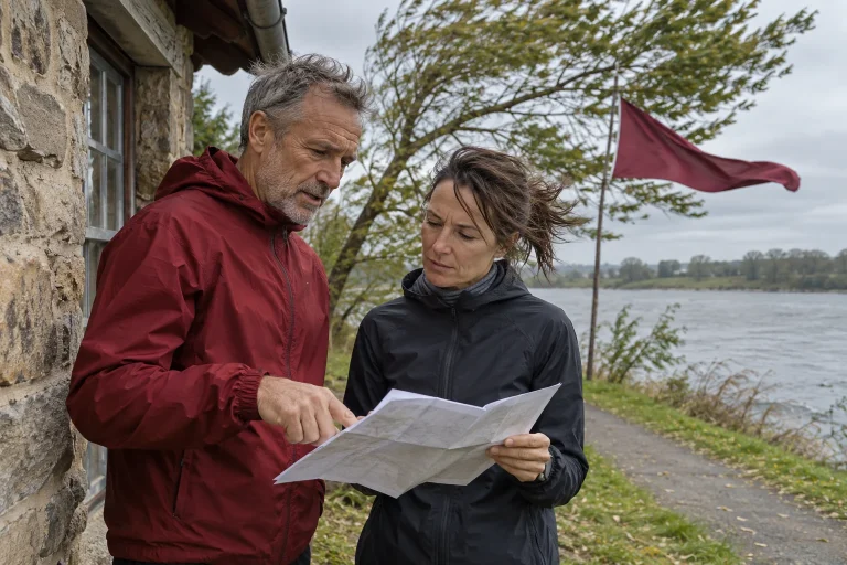
At the beginning of a park loop, your jacket barely moves; on reaching the embankment, the same day suddenly feels quite different. Meanwhile, your phone shows one wind value for the whole area. Understanding this may require not another app, but recognition of the spatial difference between the measurement and running route. Meteorological data have a defined height, environment and time-related meaning, while your body passes through continually changing places.
This article explores how to read route surroundings alongside a ten-metre reference value. We do not create a general conversion between a station and your chest. Instead, an original illustrative route example shows questions worth asking at an exposed crossing, building corner or the end of a wooded section. Our related article addresses the time-related difference between means and gusts; here, changing location is the main focus.
Why ten metres when people live near the ground?
The Met Office measurement description places the anemometer and wind vane atop a ten-metre mast. It explains that surface roughness, trees and buildings influence airflow, and speed generally increases away from the surface. As open a setting as possible helps interpret network data. This does not mean every station is perfectly unobstructed in every direction. The service itself acknowledges limitations of real sites.
HungaroMet’s wind information specifically names ten metres for the ten-minute measurement maps it discusses. Notice the wording: we are reading one product’s description, not every phone field worldwide. An app may show a model forecast or a station observation. First establish which product is before you. Ten-metre data do not describe conditions ten metres away from the road.
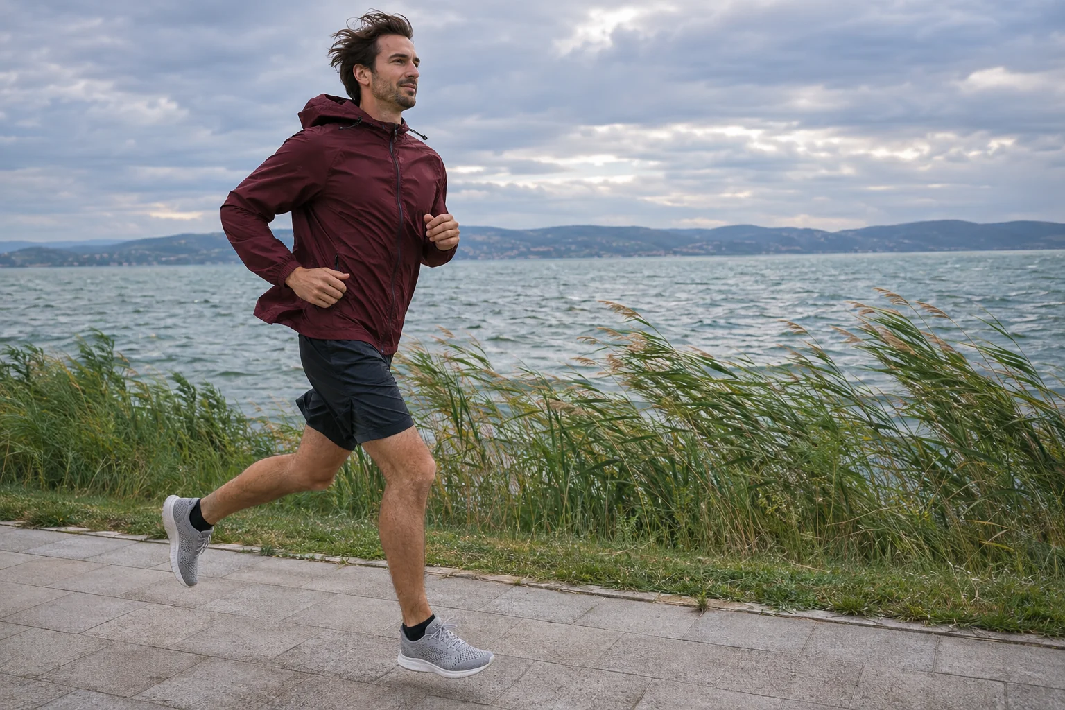
For runners, this helps avoid confusing a place name with a personalised measurement. If the start and displayed station have different surroundings, proximity alone does not resolve the difference. A park interior, track bend and waterside embankment may represent different situations within one short workout. The shared reference remains useful, but answers a different question from what your body experiences at a particular moment.
A building’s lee is not a simple wind-free rectangle
The ASHRAE handbook chapter on airflow around buildings describes deflection, acceleration in some areas and recirculation beside obstacles. Importantly, it cautions that complex buildings and building groups cannot be represented adequately by one general diagram: details require on-site investigation or suitable modelling. A corner and the downwind side are therefore not equivalent locations. The handbook’s technical account is not a wind assessment of a specific Hungarian running route.
Our practical conclusion for runners is not to draw an automatically guaranteed calm strip behind buildings on a map. A plan to ‘shelter beside the wall’ should retain room for actual conditions and other pavement users. Do not move closer to a narrow corner solely to reduce the feeling of wind. Avoidable crowding, poor visibility or proximity to the road does not become an advantage because the phone displays favourable data.
For an original example, imagine a loop around a library. Along the long frontage, you chat comfortably; after the corner, jacket and hood movement changes. A useful note is not ‘the library is 40 per cent windier’, because you measured no such ratio. Instead, state the corner, direction of travel and time. The experience becomes traceable later without appearing more precise than what actually happened.
 Enlarge image
Tree rows, woodland edges and embankments: changing shelter is a route feature too
Vegetation and terrain are environmental features your local knowledge can add to the screen. Do not regard every tree as an identical, permanent windbreak. An open wooded park and a dense tree row differ; a change of season may alter the earlier picture too. ‘Open field after a wooded section’ is therefore more precise in your route description than calling the whole loop sheltered.
The following are editorial route-planning questions, not a local forecast calculated from an equation. Where does shelter end? How long will you remain in a section difficult to shorten? Does the return use the same crossing? Is there a familiar, permitted, easily reached alternative? A simple map review and local knowledge often answer these more usefully than repeatedly refreshing the same number.
Choosing a wooded area must not be understood as automatically choosing shelter during a storm. This article concerns interpreting routes under ordinary conditions; current warnings, closures and local instructions take priority. Leaving an exposed section does not itself establish another route’s safety. If the alternative is unfamiliar too, a shorter, more easily interrupted workout or a changed plan remains a genuine option.
An original loop sketch: do not label the whole distance with one word
Take a fictional six-kilometre route. Its first kilometre and a half passes through a park, followed by eight hundred metres on an embankment, then nine hundred metres of residential streets, before returning to the park by another branch. This example does not report measured wind data for a real place. It separates transitions, turns and opportunities to stop from the total distance. We describe shelter in words, not percentages of unknown accuracy.
| Route section | What would we note? | Which decision needs it? |
|---|---|---|
| Footpath leaving the park | An exposed section begins immediately after the trees. | Choose the inner loop before stepping out. |
| Top of the embankment | Few direct shortening options are known. | Think through the return route beforehand too. |
| Turn in a residential street | Building corners and pavement junctions occur in succession. | Keep the group together and crossings visible. |
| Branch returning to the park | It approaches the end of the exposed section from another direction. | The outward experience does not automatically describe the return. |
A sketch like this need not become a geographic-information project for every ordinary jog. Three lines may suffice: where surroundings change, where you can turn back and beyond which point leaving takes longer. Data help when they make a genuine choice easier. If you add many colours and ratings to a map without clarifying the next step, the description has become too complicated.
Why does a general chest-height multiplier fail?
It would be tempting to multiply every ten-metre value by the same number and call the result the wind around a runner. Yet we do not know the particular route’s airflow environment well enough. Assumptions behind a general height relationship do not become true merely because we enter them into a table. Applying an idea intended for a smooth surface to someone near a building corner as though a local measurement had occurred would be especially misleading.
Our numerical example illustrates this logically only. If the displayed reference is 20 km/h and someone arbitrarily multiplies by 0.7, the result is 14 km/h. The multiplication is correct, but the origin of 0.7 remains unknown. Multiplying by 0.9 would give 18 km/h. Their difference is not new weather information; it follows from two unsupported assumptions. These are counterexamples to apparently precise calculation, not recommended corrections.
Adding a GPS track does not turn data into a personal wind measurement either. GPS helps describe travel location and time; it does not itself produce the airflow velocity field around your body. A sports watch’s pace and heart-rate data can be useful training records, but a harder kilometre cannot uniquely reveal local wind. Hills, turns, stops and training history appear in the same file.
What does actual running-aerodynamics research show?
D’Angelo and colleagues’ study published in 2026 analysed airflow around six athletes moving in an indoor sprint hall. It used helium-filled soap bubbles and image-based particle tracking; average running speed was approximately 8 m/s. The paper addressed the flow field behind moving runners and determining aerodynamic drag. It illustrates the measurement and processing detail needed to investigate this physical question.
We do not derive a street-wind multiplier or personal time saving from the study here. Participants, venue and speed differ from a person jogging in a park. Presenting the study helps explain precisely that distinction: a rigorous airflow investigation involves more than combining phone wind data with running pace. The near-laboratory measurement arrangement does not establish identical detailed flow at your own junction.
To follow your own training more clearly, select a narrower question you can genuinely answer. For example, which direction around the loop remained easy to interrupt that day, or where the group needed to discuss a turn. Describe these decisions precisely without calling them drag measurements. A good running log gains no value by attaching an invented physical quantity to every experience.
 Enlarge image
How can you give fellow runners useful on-site feedback?
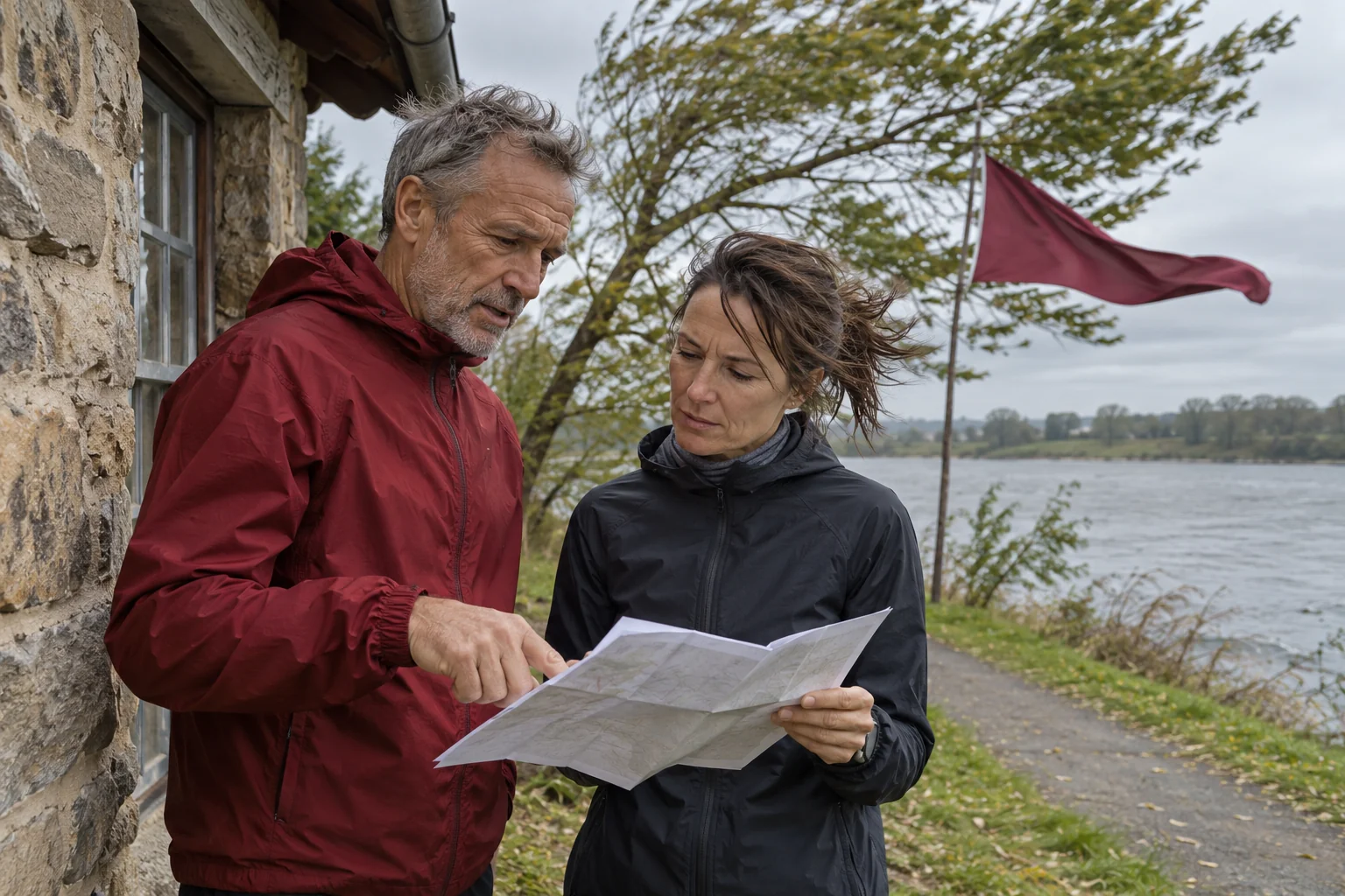
‘It is very windy here’ tells little to someone arriving through another entrance half an hour later. A precise place and time are more useful: the park’s north exit, heading towards the embankment, around departure that day. Add whether it is a personal observation or instrument measurement. For the latter, device and placement conditions matter too; do not automatically merge it with network-station data.
A shared run’s meeting description can already include a simple alternative. Our organisational example reads: ‘The main route is the park’s inner loop; we will add the embankment only after discussing conditions on site; if separated, we return to the designated meeting point.’ This is clear cooperation, not a weather forecast. Participants need not guess while moving whether the leader’s sudden turn means a pace change or route adjustment.
HungaroMet’s warning-system description helps interpret current products. Neither a warning nor an alert replaces checking each pavement section, while your own on-site experience does not override an active notice. These help at different scales. A group organiser should therefore share the official warning link separately from the chosen route rather than merge them into a personal safety promise.
Three short questions before the next loop
First: what does the displayed wind value describe? Finding the provider, product, time and height reference clarifies the initial information. Second: where do my surroundings change substantially? The park exit, open crossing and turn between buildings can be marked separately. Third: what will I change if the site differs from expectations? Have a simple answer understood in advance, not just another screen refresh.
After training, retain one genuinely useful observation. Perhaps the shortcut was available before the embankment, or the group needed to discuss continuing before the exposed section. Reassess that experience another day with a different wind direction and conditions. Route knowledge gradually grows without becoming an infallible local weather model.
Understanding ten-metre data ultimately helps give the forecast appropriate weight. It provides a broader starting picture; maps, local knowledge and current conditions supply route detail. You do not need an anemometer at every corner to choose a loop more thoughtfully. Distinguish precisely what is reported data, what is your observation and which decision still needs information.
Sources and identifying the examples
Checked: 21 November 2026. The loop sketch, table, 0.7 and 0.9 counterexamples and organisational message are original teaching examples; none is an on-site measurement or safety rating.
- Met Office: How we measure wind – measurement height and site exposure
- HungaroMet: Wind – the ten-metre reference of the maps presented
- ASHRAE Handbook, Chapter 24: Airflow around buildings – flow patterns and their limits
- D’Angelo and colleagues, 2026: On-site investigation of running aerodynamics
- HungaroMet: Introduction to the warning system
How Futószív articles are prepared: our editorial guidelines.