Hot weather calls for replanning even a familiar urban loop
The same route can present a different task at another time. A normally shaded street may become exposed, access to a park may involve a long sunny stretch and a mapped drinking fountain still needs checking. In heat, merely adding “I will be more careful today” to the usual loop is insufficient. Review the entire outing’s conditions.
Route choice is only part of the decision. It cannot make every run planned in heat appropriate or replace clarification of personal health questions. This guide supports organisation: timing, geographical frame, checked services and an orderly finish on one sheet. Changing or abandoning the outing remains a real option.
Personal suitability and a mapped plan are different questions
The CDC heat information for athletes states that activity in hot weather increases heat-illness risk. If feeling weak or faint, it emphasises stopping and moving somewhere cool. This is an important boundary around logistical plans: a well-drawn loop cannot override new health signals.
If a health condition, medication or earlier symptoms create uncertainty about activity in heat, consult an appropriate healthcare professional. This article gives no individual fluid, salt or intensity prescription and creates no home diagnostic table. For urgent help in Hungary, call 112; necessary assistance need not fit completion of the route plan.
Your decision sheet can therefore have separate rows for personal requirements and route organisation. Both must suit the chosen outing; one favourable area cannot compensate for the other.
Measure timing against the entire day
A time you assume cooler does not guarantee appropriate conditions. Check fresh forecasts, official warnings and the time actually available. Moving the run to another hour also requires checking access and finish again.
An earlier start may change lighting and services. A later outing may alter return light and transport. Changing time is therefore more than moving a calendar cell: related conditions need reconsidering too.
The HungaroMet hazard-warning explanation describes differing roles of warning forecasts and alerts. Do not infer absence of every warning from an empty alert view. Read written information for the programme’s time and area too.
 Enlarge diagram
Text version of the illustration
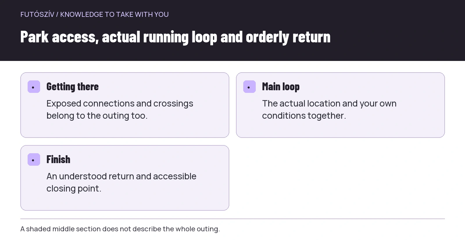
- Getting there
- Exposed connections and crossings belong to the outing too.
- Main loop
- The actual location and your own conditions together.
- Finish
- An understood return and accessible closing point.
Look for shade at the actual time
A park or avenue name does not guarantee a fully shaded route. Examine access, open sections and return structure. Previous experience is most useful when you remember the time and direction of that visit.
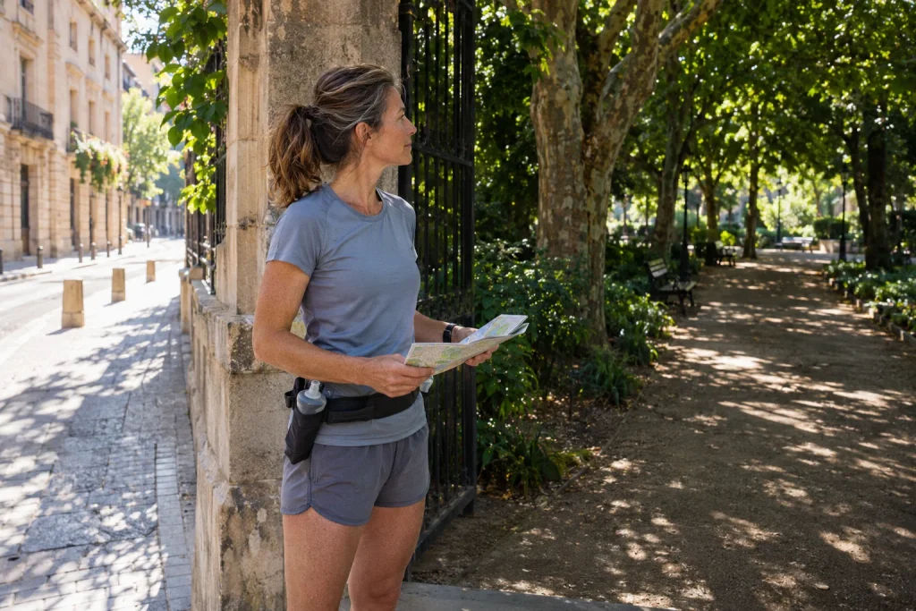
Breaking the route into sections makes it easier to interpret: home to park, the park loop and the connection home, for example. If the middle seems suitable but reaching it involves a long exposed stretch, the whole outing is not equivalent to time inside the park.
| Route section | What should you examine? | What should remain visible in the plan? |
|---|---|---|
| Access | Exposed or shaded connections and crossings | The full route before and after running |
| Main loop | Actual surface and spatial structure | An understood outing that can be shortened |
| Return | Access to the finishing point | More than one distant destination alone |
| Backup version | A separately checked short route | Changes should not depend on on-site guessing |
Consider organisational advantages of staying near base
A loop near a checked starting point may offer a simpler finish than a long one-way route. It still does not automatically make running in heat appropriate. The structure helps insofar as returning need not require a new long section at the outing’s end.
If planning repeated loops, each additional part can be a new decision. Do not treat the original total as compulsory debt. Discuss your training programme with a coach if needed, while separately considering current personal and weather conditions.
The base must be a real, suitably usable place. A building or bench marked on a map is not necessarily cool, an available service or an orderly meeting point. Check specific conditions rather than infer them from the word “base”.
Drinking fountain: exact location and current usability
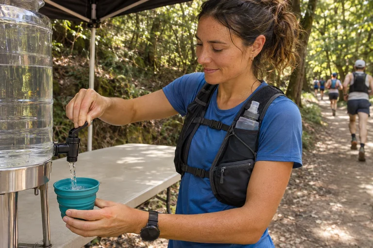
A water point’s geographical location and actual availability are different questions. The official Hűsítő Budapest page provides a drinking-fountain map and also refers to its display in BudapestGO. This is a useful planning source for a Budapest outing.
A map marker cannot replace current on-site condition, however. Check precise access and available operating information. Do not treat a closed, non-working or uncertain point as a secure foundation. Develop your personal fluid plan with appropriate professional context and actual possibilities.
In another city, seek official information from the municipality, water provider or park manager. A function in another settlement’s app does not automatically provide identical data for yours. Name the specific location and source on your sheet.
Do not infer drinking water from an ornamental fountain or unknown water feature
A well, fountain and waterfront shown on a map are not identical services. Learn usage signs and the responsible authority’s information. If drinking-water status is unclear, do not create certainty from appearance or other people’s behaviour.
Name services precisely on the running route. “There is water near the busy square” is insufficient logistical information. Which point, accessible from which entrance, and what current information exists? Detail helps when it clarifies real access.
Try your drinking equipment beforehand according to manufacturer guidance too. An accessible flask or other suitable solution is not a personal quantity recommendation. Separate equipment’s organisational role from nutrition questions.
 Enlarge diagram
Text version of the illustration
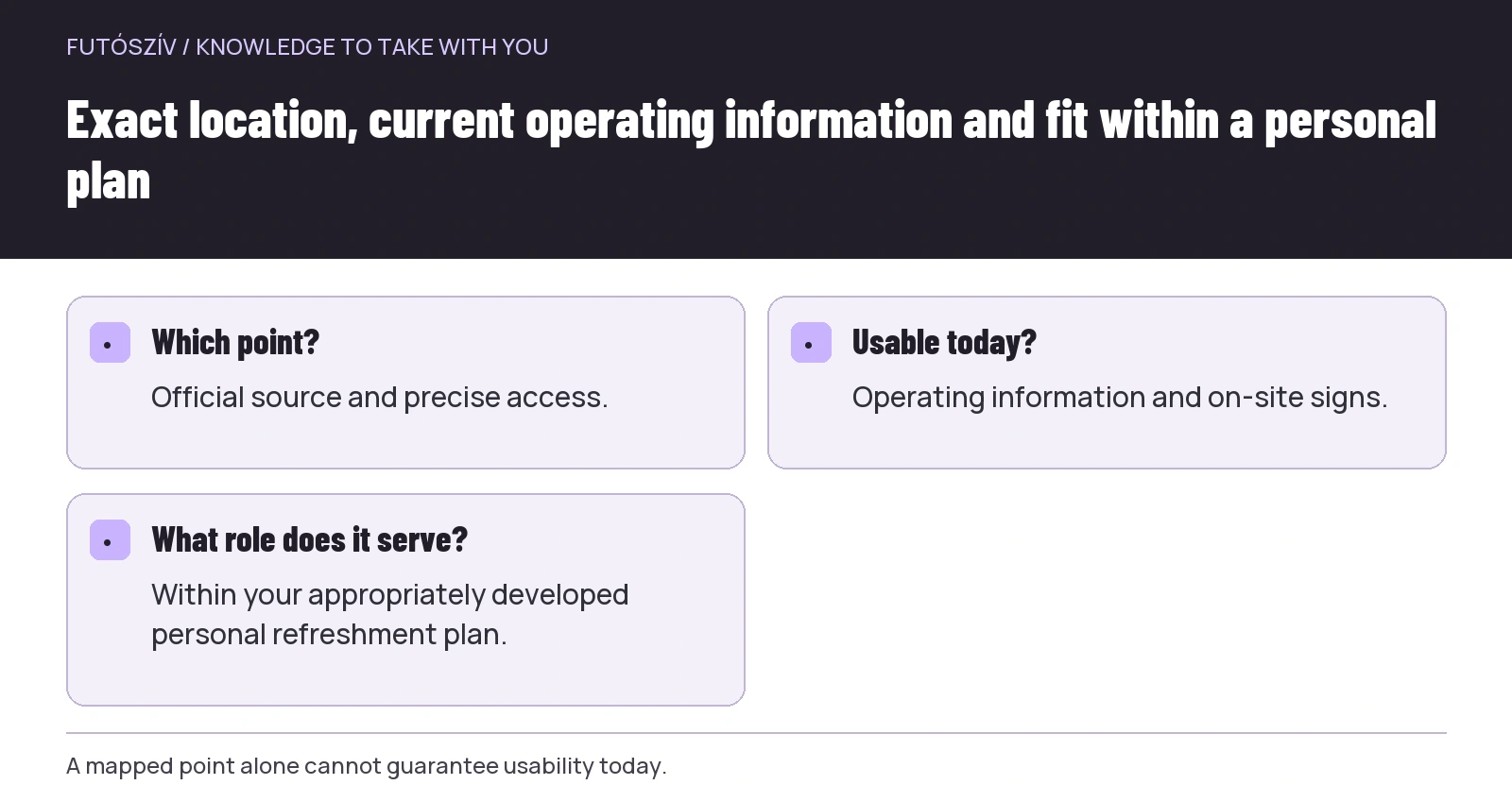
- Which point?
- Official source and precise access.
- Usable today?
- Operating information and on-site signs.
- What role does it serve?
- Within your appropriately developed personal refreshment plan.
Urban crossings and waiting belong to time outdoors too
Waiting for lights at an exposed junction, a closure detour or searching for a park entrance adds to the outing. Do not record only moving time when reviewing the route. Understand the whole programme’s duration and surroundings.
The shortest map connection is not necessarily the best fit. Check permitted crossings, shared routes and actual access. A tight personal schedule does not justify ignoring traffic rules.
If a distant venue requires substantial travel, include that in deciding. You may choose another simpler, appropriate programme instead. The running goal and daily organisation connect, but neither requires retaining the old route at all costs.
An illustrative example of two urban routes
The first fictional loop reaches a shaded park through a long exposed route and returns the same way. The second uses several short familiar connections near the start, with a checked finishing option. Initially, the runner compares only the park interior with the second loop, making the first appear clearly better.
Reviewing the entire outing reveals access as a substantial separate task. The runner revisits timing and personal requirements, then chooses or abandons that day’s outdoor run accordingly. The example does not identify one loop suitable for everyone; it makes missing route sections visible.
A personal target time or app distance cannot decide in place of missing conditions. If the original plan works only under optimistic assumptions, adjustment is a concrete justified organisational step. You need not manufacture equivalent kilometres afterwards.
In a group, changes should reach everyone
For a shared run, communicate new timing, route and finish in one current message. Participants’ circumstances differ, so a change should not become persuasion to attend. Someone choosing another solution makes their own decision.
An organiser should not promise general medical suitability because a route has more shade. State precisely what was checked and what the programme provides. Personal health and professional questions remain separate.
Understand on-site communication too. If someone changes or ends participation, the group should know how completion is tracked. Contact arrangements do not replace necessary help when required.
Do not turn a warning into your own temperature-based permission
Read official signals with the right content and period. This worksheet need not attach general running permission or prohibition to one displayed number. Personal risk, actual conditions and task involve several factors.
If uncertain, request appropriate professional advice for personal requirements. Environmental planning remains useful but cannot replace the answer to the individual question. Map creativity stops short of medical guarantees.
Include abandoning the outing among possible decisions. If it exists only theoretically, enthusiasm or community expectations may push you towards the original plan. Good preparation can organise adjustment and finishing just as well as departure.
Your own urban heat-planning sheet
Include when current weather information was checked, chosen period, complete route, access, checked services and an orderly finish. Name personal training and health questions separately rather than hide them in a route row.
Keep which geographical connection needed clarification, how usable information was and whether the full timing fitted. Experience of a fountain or shade should remain date- and time-specific. A new outing needs a fresh check.
Urban route choice helps in heat when it makes the whole outing visible. Timing, access, venue and finish enter the decision together. Personal suitability remains an independent question that a more favourable-looking map line cannot solve for you.
How Futószív articles are prepared: our editorial guidelines.