Recognising waymarks is part of trail running
While running, both the path and your surroundings demand attention. At a junction, you must still establish which waymark you are following and which one continues along your route. Trying to work this out at the last moment can lead you to follow the wider path, other people’s movement or a distant patch of colour. Calmer waymark reading begins before you leave.
The aim is not to learn every Hungarian trail waymark for a single run. First understand the marks and changes on your own route. The map, on-site waymark and next recognisable point together support navigation. Knowing where the planned route goes at a decision point matters more than running continuously.
Colour and shape identify the route together
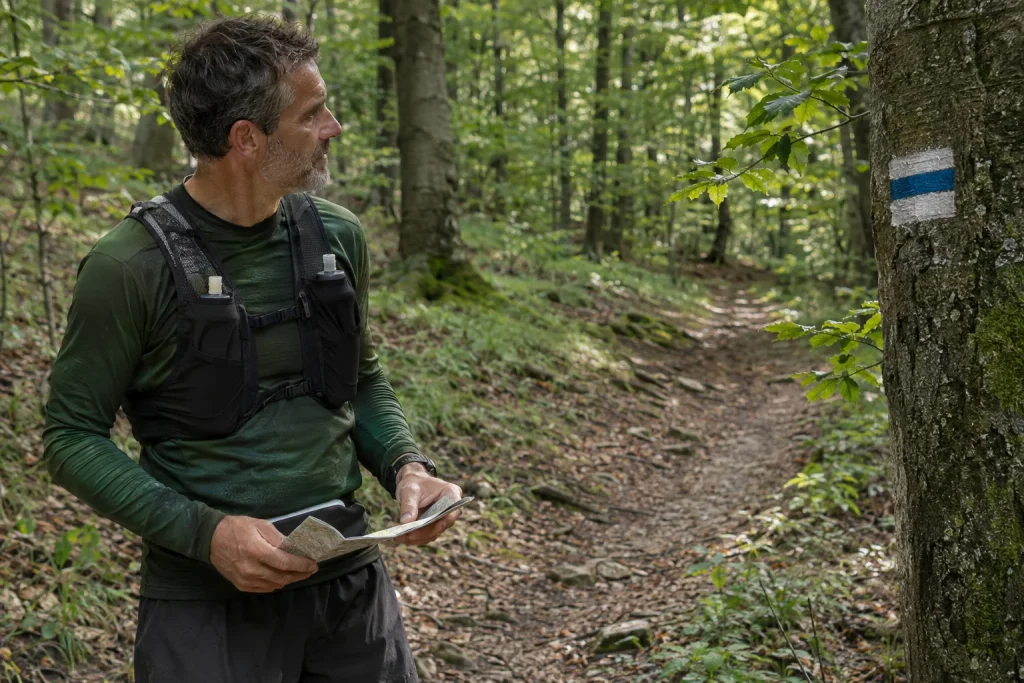
If all you remember is “follow the red”, several different waymarks may remain possible. A red stripe, cross and triangle are not the same route mark. Always use the full name in your notes. If distinguishing colours or shapes is difficult, prepare map and written reference points even more deliberately.
The Hungarian Hiking Association’s guide to the hiking trail network presents symbols and colours as a system. Colour is not a general difficulty rating. You cannot automatically assume blue is easier than red, and green alone does not mean a route suits your first trail loop.
Do not treat a waymark as a mood label. Its name helps ensure you are referring to the same route on the map and on the ground. Suitability depends on distance, elevation, surface, navigability, current access and your own experience together.
The meaning of some common shapes
According to the MTSZ description, the following marks indicate different network roles or destinations. The table is a brief navigation aid, not a complete legend. Before setting out, also read the detailed explanation relevant to your route.
| Mark | Brief meaning | What requires a separate check |
|---|---|---|
| Stripe | Part of the main hiking trail network | Where does your chosen section go? |
| Upright cross | May connect main routes or indicate a route variation | Which two sections does it connect? |
| Triangle | Leads to a high point or lookout | What distance and terrain does reaching it involve? |
| Square | Leads to a settlement, accommodation or transport | Which specific endpoint does it reach? |
| Filled circle | Leads to a water collection point | Is that facility accessible and usable? |
A waymark’s destination does not guarantee every service. For a stop associated with a square, you also need that day’s timetable. Alongside a water-point symbol, check actual access and current drinking-water information separately. A triangle does not mean the ascent is straightforward for every runner either.
 Enlarge diagram
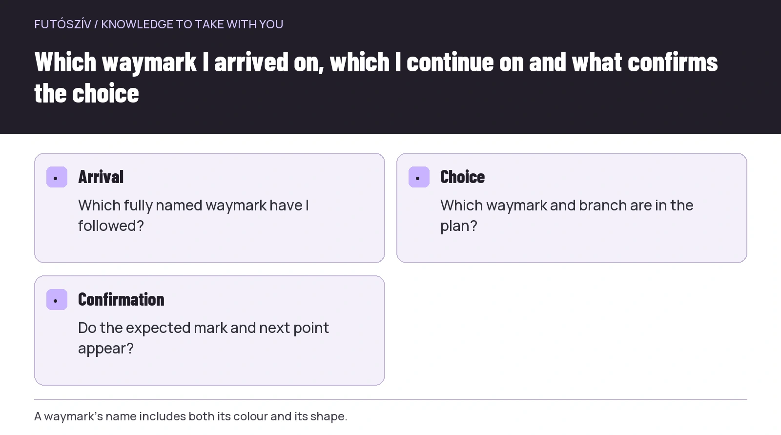
Text version of the illustration
- Arrival
- Which fully named waymark have I followed?
- Choice
- Which waymark and branch are in the plan?
- Confirmation
- Do the expected mark and next point appear?
Write down changes of waymark in order
Alongside the map of the full loop, keep a short route outline. It need not describe every metre, but should record important decisions: starting on your chosen waymark, changing at a junction, the next recognisable point and the return sequence. Make clear what happens first and what comes later.
An imaginary outline might read: start on the red stripe; change to the red cross at a named junction; return to the stripe after a clearing. This is not a real route recommendation, only a structure for the description. Actual place names and connections require checking on a map and through reliable sources.
If you return to the same junction twice, write the two decisions on separate lines. Do not plan on “I will remember here”. You may approach from different directions, and the same sign can appear differently. Understanding the order of travel prevents much unnecessary uncertainty.
Make room to slow down and check before the junction
You need not decipher an unfamiliar intersection at running pace. Arrange enough time to look at the waymark and map without obstructing others. A brief check is a sensible part of the outing, rather than necessarily a mistake to be counted as an interruption.
Three short questions may help before deciding: which waymark did I arrive on, which must I take next, and what next point will confirm my choice? Do not answer merely that one branch is more worn. Signs of use do not necessarily identify your route.
If several waymarks share a path at a junction, do not assume they remain together throughout. You must identify your own mark when they separate again too. Checking this on the map beforehand means the split will not come as a surprise on the ground.
Check the continuation after choosing too
Compare your junction decision with the plan as you continue. Do the expected waymark and next identifiable point appear? Do the terrain’s direction and character match the map? Glimpsing a single tree is not necessarily enough to identify an entire section confidently.
There is no need to prescribe a universal number of metres you may travel without another waymark. Visibility, terrain and mark placement can vary. Take uncertainty about your position seriously: if you can no longer make sense of what follows, maintaining planned pace should not be the priority.
Handle the possibility of returning deliberately too. If you know the last confidently identified point and can return safely, it may provide a reference. However, do not choose an unfamiliar shortcut or cross-country cut-through merely because the digital line looks close. On-site restrictions and your capabilities still matter.
Race tape and hiking waymarks convey different information
An area may contain permanent hiking waymarks, themed-trail signs and temporary event markings. Do not automatically regard them as the same system. Understand your own route: on an independent trail loop, tape may not lead where you want to go.
At a race, learn the event’s current instructions and on-site directions. Official course marking may serve a different purpose from the hiking network. If the routes diverge, the colour of a painted hiking waymark does not automatically determine the race course. Read beforehand which markings the event uses.
Do not independently start removing or moving even a temporary marker that appears abandoned. You may not know its role or validity. If you encounter a problem, give the relevant organiser or manager a precise location and description. Altering a marking system is not an on-the-run task.
 Enlarge diagram
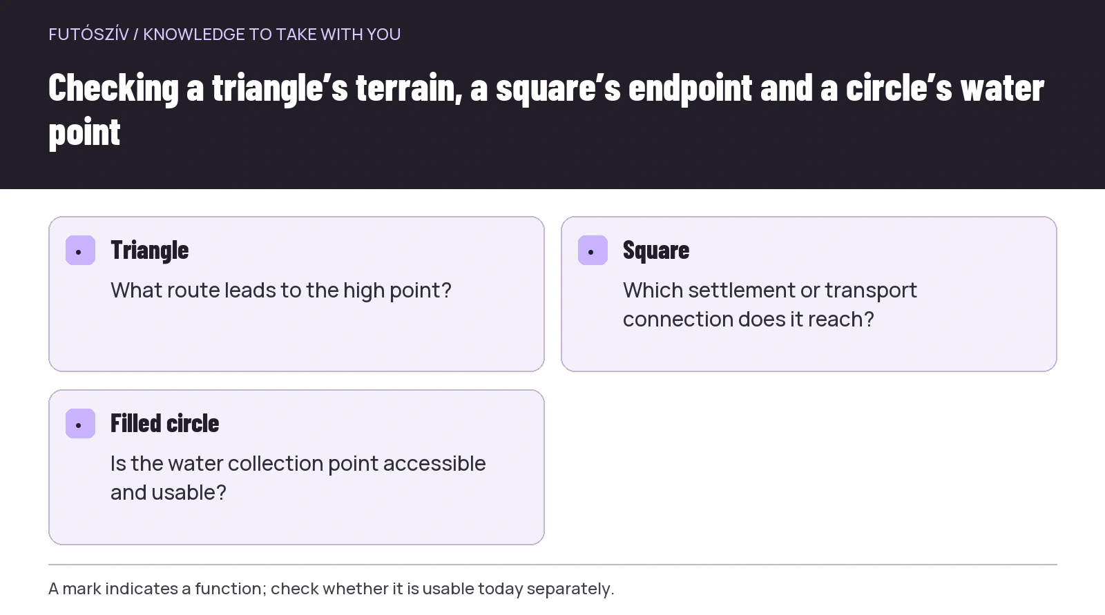
Text version of the illustration
- Triangle
- What route leads to the high point?
- Square
- Which settlement or transport connection does it reach?
- Filled circle
- Is the water collection point accessible and usable?
Route knowledge should be shared in a group
If running together, the person in front should not be the only one who knows the next waymark. Before leaving, give everyone a brief picture of the main route, important changes and agreed meeting arrangements. Everyone need not have identical navigation experience, but responsibilities must be understood.
No one should be left alone at a junction merely because the others have already assumed the direction is certain. Agree in advance how the group will reunite. If someone cannot see or understand a waymark, they should be able to ask, rather than have it treated as a performance shortcoming.
Leave room for other countryside users while checking as a group too. Instead of occupying the entire intersection, look at the map somewhere that does not obstruct movement. Organising a run does not give you priority over everyone else using the forest.
An illustrative example of a misunderstood colour
While planning, a runner writes down only “red waymark”. At a junction, both a red stripe and red triangle appear. The triangle starts along a wider path, so they choose it, although their loop continues on the stripe. The root of the error is not necessarily missing signage, but an incomplete advance description.
The improved plan gives the full waymark name and the next identifiable point beyond the junction. The runner checks the two branches there, then confirms the choice through the expected mark further on. They need not memorise every route; preparing their own next step properly is enough.
Apply the example to a previous situation of your own. Where did you use an overly abbreviated name? At which junction would recording the mark’s shape too have helped? Improving one such detail for the next loop is more concrete than generally “paying more attention”.
A waymark does not override a current closure
A painted mark may remain in place while a temporary restriction or route change affects the section. The current MTSZ warnings and local manager’s information are therefore separate parts of the pre-departure check. A waymark’s presence alone does not prove the whole route is usable that day.
The Duna–Ipoly National Park visitor guide also emphasises following designated routes. If waymarks and local information appear to conflict, do not immediately invent a personal detour through protected land. Clarify the current situation first and choose another outing if necessary.
Calm navigation also involves accepting that a route cannot always be completed in its original form. Your map outline and downloaded track are planning tools, not an organiser’s permission.
How can you practise in familiar surroundings?
Choose a short, well-known section and do not combine your first waymark-reading task with increasing distance. Check the waymark’s name and junctions beforehand. On site, identify how the mapped connections appear. The aim is to understand how they correspond, rather than photograph as many signs as possible.
After practising, make a simple ordered list from memory, then compare it with the map. An incomplete part becomes a point for further learning. For more complex navigation, seek suitable training or help from an experienced leader. A short article cannot replace practising map and compass use.
Navigation can have its own time within your running outing. Accepting this in advance means a junction check is no longer a rushed, forced pause. The route you follow becomes clearer, and the next visit can draw on real experience recorded with a date.
How Futószív articles are prepared: our editorial guidelines.