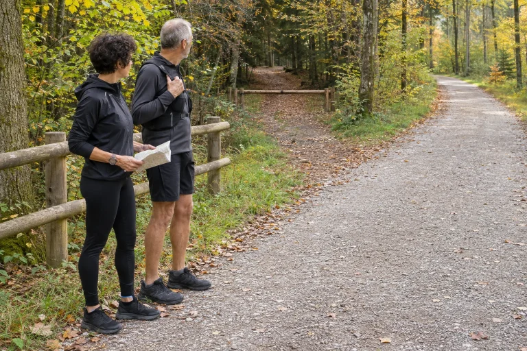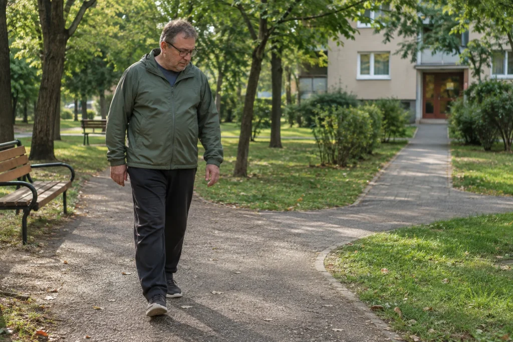
The greatest advantage of a good practice route is often that you can reach it in a few minutes. You do not have to organise a weekend outing, find parking or travel to another part of town. A nearby route becomes truly useful when it works within your real schedule: setting off is simple, the route is easy to follow, getting home is predictable, and you can shorten it easily if necessary.
An attractive green patch on the map does not prove any of this. Perhaps one park gate closes in the evening, the shared lakeside path is narrow, or the passage on your way home regularly floods. Choosing a practice route therefore involves a small on-site survey. The following method helps turn a few possible routes into a personal base route whose details you really know.
Start planning at your front door
First decide how much time you can give to the whole outing. Time spent in the nearby park and time away from home are not the same. If getting there takes ten minutes and coming back takes ten, those twenty minutes are part of your day even if you only start the running app at the park gate. Judge how usable the route is by considering the entire journey.
Identify two or three initial possibilities. These might include a park, a few quieter streets and a sports area with opening hours. At this stage, do not decide solely by distance. Continuity, junctions, visibility and access together determine how much attention your surroundings will require.
The NHS page for beginner runners also recommends planning your route before setting off and staying aware of your surroundings. The next practical step is simple: before your first run, walk the section you would use regularly. The line you saw on the map will then acquire gates, surfaces and real decision points.
Three basic shapes with different advantages
Out-and-back. You head out and return along the same route. It is easy to shorten because you choose when to turn back. A possible drawback is having to turn before the most pleasant section, or encountering the same crossings twice. When starting out, it is particularly useful to tie the turning point to a recognisable place that you can reach safely.
Small closed loop. You pass the same landmarks several times and regularly return close to your starting point. This kind of loop can fit a shorter time window well. However, check whether you can complete it at every time you plan to use it. A locked garden gate or an event closure can change the entire basic shape.
Figure of eight or two linked loops. Two smaller loops share a common point. The central meeting point can offer a chance to head home or shorten the outing. This is an elegant solution on a map, but you need to check on site that the shared point is not a busy junction. If every lap requires a complicated crossing, another shape may be calmer.
| Route shape | When is it practical? | What should you check on foot? |
|---|---|---|
| Out-and-back | You want a flexible turning point | Turning place, return route and junctions along the way |
| Small loop | You want to stay near the start | Continuous access, narrow sections and gates |
| Two loops | You want several shortening options | Shared point, connecting passages and clear directions |
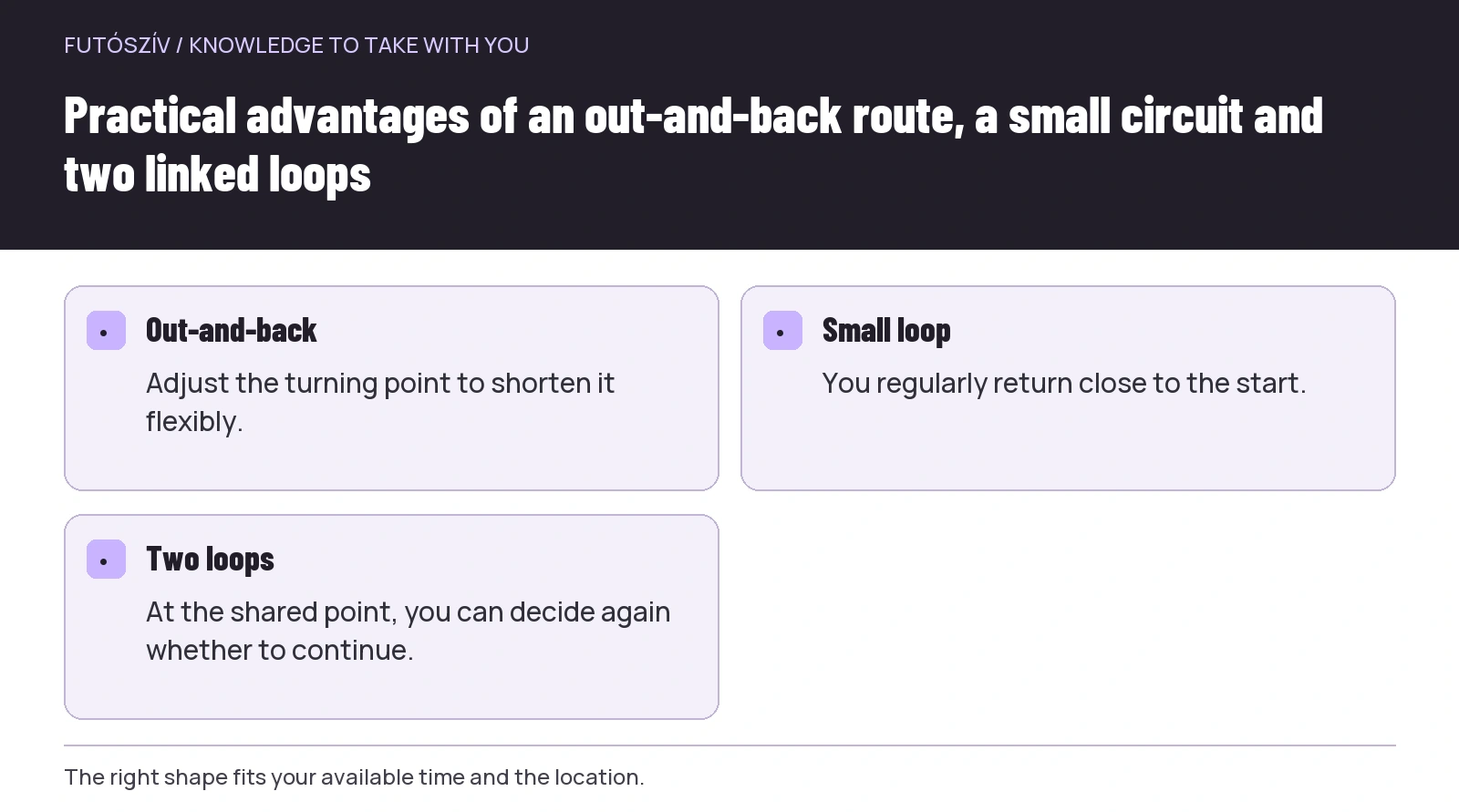 Enlarge diagram
Text version of the diagram
- Out-and-back
- Adjust the turning point to shorten it flexibly.
- Small loop
- You regularly return close to the start.
- Two loops
- At the shared point, you can decide again whether to continue.
Take a set of questions on your walk-through
Go at the time of day when you usually run or would like to run. An empty path on a weekday morning tells you little about evening dog walking, morning school traffic or the weekend market. You do not need to inspect every time slot, but gain real experience of the period that matters to you.
Check entry points. Are there signs, opening hours, special rules or temporary closures? A path around a sports field is not necessarily a freely accessible running track. The colour of the surface or a route recorded by someone else does not itself give you a right of access. Posted rules and information from the operator are the guide.
Notice where you need to switch from moving along to another task. Road crossings, driveways, tram stops, narrow bridges and playground exits may require particular attention. Mark these separately in your assessment. Frequent interruptions do not make movement worthless, but if you want calm, continuous practice, another route may suit it better.
Finally, find the shortcut. Do not simply draw a straight line home on the map. Actually walk through the passage and inspect the steps, gate and crossing. A usable shortcut is a route whose destination and usable conditions you know in advance.
Assess the whole surface, not just its material
The labels tarmac, gravel or synthetic track do not fully describe a particular section. The same material may include smooth and broken areas, dry and waterlogged patches, a wide straight and a sharp turn. Record these actual qualities when choosing a route. A statement such as “soft surfaces are always good” gives too little information about a specific place.
Look for protruding roots, loose stones, hidden kerbs and sections that change after rain. If you only know a section in dry weather, note that limitation. A later walk-through in the rain may add new information. The aim is not a rating that lasts for ever, but practical knowledge of the route.
Give turns some attention too. In narrow places, you share space with walkers, cyclists and runners coming the other way. Look for a loop where you can anticipate the next few metres, without regularly emerging suddenly from behind an obstruction into other people. Comfortable visibility is often worth more than a loop that is a few metres shorter.
Shared space also changes over time
A park has different roles in the morning, afternoon and evening. People chat around benches, families move around the playground, and visitors stop at the drinking fountain. These are normal uses of the place. Plan your own route without relying on everyone else disappearing. If a section is regularly very crowded, look for another time or connecting path.
An important part of parkrun’s code of conduct is respecting other park users. The same outlook helps on your own practice route: leave space, slow down when needed and do not treat a recorded pace as a right of way. Predictably taking others into account is part of a good route.
If the nearby location is only pleasant to use at one particular time, include that in your decision too. A more distant alternative may be more flexible overall. “Nearby” and “always usable” are different qualities; both are valuable, but you will not necessarily find them on the same route.
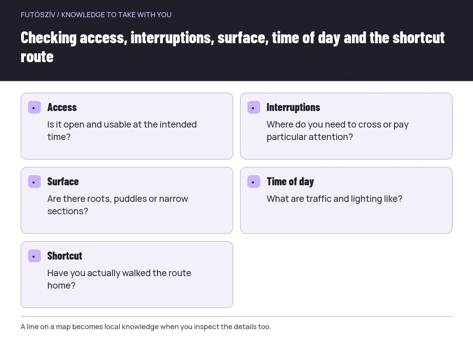 Enlarge diagram
Text version of the diagram
- Access
- Is it open and usable at the intended time?
- Interruptions
- Where do you need to cross or pay particular attention?
- Surface
- Are there roots, puddles or narrow sections?
- Time of day
- What are traffic and lighting like?
- Shortcut
- Have you actually walked the route home?
The same loop can be two different routes by day and after dark
After a daytime walk-through, do not automatically assume every detail will be equally recognisable in the evening. A change of surface before a bridge, a bend beside a bush or a narrow gate requires different attention after dark. If you plan evening use, inspect the lighting at that time too. A row of lights marked on the map does not prove that every lamp works.
Distinguish whether you can see the path from whether others can notice you in time. The NHS safety advice mentions both aspects for darkness. Make two notes about the route: how clearly you can see the surface, and where you encounter other road or path users. A light-coloured garment does not itself illuminate obstacles.
If one short part of the loop is unsuitable in the evening, you do not necessarily need to reject the whole area. You may be able to draw a shorter loop through the clearly visible sections. A longer daytime version and a shorter evening version can be two valuable routes from the same starting point.
In natural surroundings, local rules come first
Even close to home, there may be a protected area or a part of the forest with particular visiting rules. The Duna–Ipoly National Park Directorate’s information emphasises using designated paths, protecting wildlife and taking rubbish away. Shortening your own loop is not a reason to wear a new trail or enter a closed area.
Find out who manages the area and where to learn about temporary restrictions. Getting there and current passability are also part of a forest loop. A route previously recorded in a community app shows past use; you need to check its current access separately.
On a nature route, do not count on an unchecked facility as a guaranteed service. A water point shown on a map may be seasonal or out of operation, and a shelter may be closed. Base even a short local outing on what is actually available. If a necessary condition is missing, choose another loop.
Make a route card, not a competition for points
A short note for each route is enough. Include the starting point, basic shape, typical interruptions, the time of day you walked it and the shortening option. Add what you do not yet know. For example: “Not checked after rain” or “No information about evening gate opening.” Naming an unknown is more accurate than guessing.
| Field | Example for an imaginary loop |
|---|---|
| Start | Beginning of the housing estate’s central walkway |
| Shape | Two smaller loops sharing a common space |
| Interruption | One traffic-light crossing on the approach |
| Time inspected | Early weekday evening, in daylight |
| Shortcut | A known route home after the first loop |
| Still to check | Winter lighting and conditions after rain |
This is an illustrative example, not a recommendation of a specific place. The card’s purpose is to let you decide quickly before setting out: does this route suit today? You do not need a ten-point ranking or to beat other runners’ favourites. A route where you can set off regularly and calmly is particularly valuable for your own habits.
After the first run, improve one detail
After the first trial, consider where your surroundings required the most attention. Do not record only the number on your watch. Perhaps another gate makes access simpler, one loop is quieter, or setting off five minutes earlier means less traffic. Each such adjustment directly improves usability.
If the loop turns out shorter than expected, that is not a mistake either. Repeatability and the option to shorten can be deliberate advantages. Later, you can add a section you have already inspected, but you do not have to explore every possible street in the first week. A personal route library can work well with a few reliable basic versions: a daylight route, an evening route and a very short option can already cover many everyday situations.
How Futószív articles are prepared: our editorial guidelines.