Preparing a watch for a long trail day starts before the start line. Route direction, understanding climbs, the selected power mode and getting home together make a usable plan. The Samsung Galaxy Watch Ultra2 offers several tools for this, but a map on the watch or a large battery figure is not a plan by itself. This article interprets official descriptions available in November 2026 without claiming a field product test.
The 2026 Ultra2 is a separate model
Do not identify the Ultra2 as a colour variant of the first Galaxy Watch Ultra. The July 2026 global specifications describe a 47.4 × 47.1 × 10.7 millimetre, 61.5 gram case, a 1.52-inch display, an 800 mAh battery and L1+L5 dual-frequency GPS. It is listed with Wear OS 7 and One UI 9 Watch. Phone requirements are Android 13 or later, more than 1.5 GB of memory and Google Mobile Services.
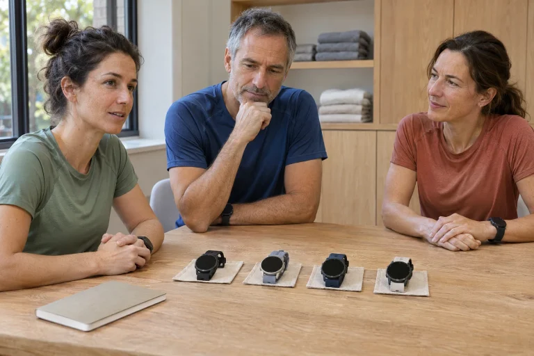
Imagine trying the case with your own running equipment. You should comfortably reach your vest straps, grip a bottle and manage your jacket sleeve. If the watch rotates uncomfortably, a larger display is difficult to benefit from. Set the strap securely, but do not try to solve poor fit through tightness. Size is not a classification of running ability; it shows how a particular object works on your wrist.
Begin the buying question with a recurring situation in which the larger display and longer operation would help. It might be a trail day, a longer phone-free outing or a multi-stage weekend. Include everyday wear if you want overnight data. A rare theoretical scenario can produce a different decision from weekly use; name both needs separately.
A GPX file is not yet a checked route
The Samsung overview of running features describes route following, elevation information and GPX support for Trail Run mode. Select the necessary map in Samsung Health or upload a compatible GPX file. This supports using a prepared route; it does not establish that every point is passable today, publicly accessible or appropriate in the weather. Check where the digital line comes from before uploading.
An old race course may include a shortcut opened only for the event. A friend’s recording may contain a wrong turn or temporary detour. Check the start, finish, direction and whether the file’s full extent is what you intend to cover. Separately mark definite meeting points, shortening options and places from which you can return. Do not try to decipher these for the first time from tiny screen details.
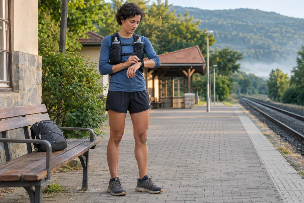
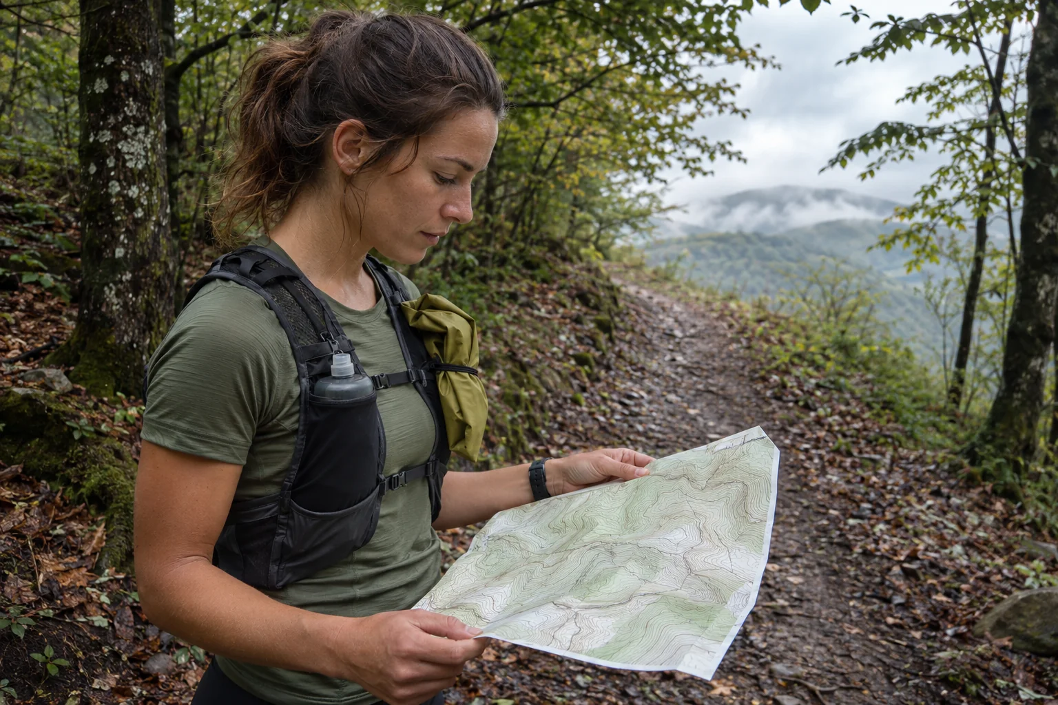
During a trial, open the actual route on the watch and follow a short familiar section. Notice what you see at the first junction, how to switch between data and route views and what happens when you stop to read a sign. An unclear instruction at a familiar junction can be clarified easily. On remote terrain, the same uncertainty may consume return time and disrupt your schedule.
 Enlarge image
Climb Guidance helps you look ahead
The Ultra2 US product page highlights following a preloaded GPX with Route and the next section’s average gradient and ascent with Climb Guidance. Together, these can help you avoid treating a long climb as a short hill. An average does not describe every metre’s steepness, the surface or your current effort.
An original numerical example: gaining 160 metres over two kilometres gives the simple ratio 160 / 2000 = 8 per cent. This illustrates a calculation using horizontal distance; it is not reverse-engineering a watch algorithm. The same average can include easier and much steeper sections. If your route shows this, looking ahead helps you think beyond the next visible bend. Your exact pace cannot be derived from that ratio alone.
When planning, identify the ends of major climbs and what follows. A gentle section and a technical descent then do not become identical in your schedule merely because neither goes uphill. With companions, agreed points give the group reference points too. Watch elevation data are one layer of navigation; actual difficulty comes from terrain, weather and your capabilities together.
Four battery-life figures for different uses
The detailed Singapore product page gives up to 60 hours of normal daily use with Always-On enabled and 80 hours with AOD off. It separately states 20 hours for an outdoor GPS workout. GPX route following has its own 16-hour figure in Trail Run with Exercise power saving enabled. In the latter, AOD and alerts are off; the footnote describes simulated laboratory power-consumption conditions.
The two workout figures describe different tasks, so do not call 16 hours general normal-GPS battery life or 60 hours continuous run recording. Before buying, name your use: will you follow a route, which views and alerts will you rely on, and what connection will you use? Capacity, daily-use time and long recording duration are different data. Meaningful comparison requires the same task.
In an original planning example, a seven-hour target may sit alongside a slower nine-hour scenario. The difference is two hours, but this does not establish a required battery percentage or a device guarantee. The numbers clarify your schedule. Separately check starting charge and a prior recording with your usual settings. Base reserve planning on the functions you will actually use together, rather than the manufacturer’s maximum.
Power saving also means reconsidering alerts
Selecting a power mode affects more than recording duration. If certain alerts do not work in that mode, your organisation changes too. A missing familiar beep might look as though a task has not started. Do not treat mode settings only as a power switch. Check beforehand which feedback you would rely on and which remains available.
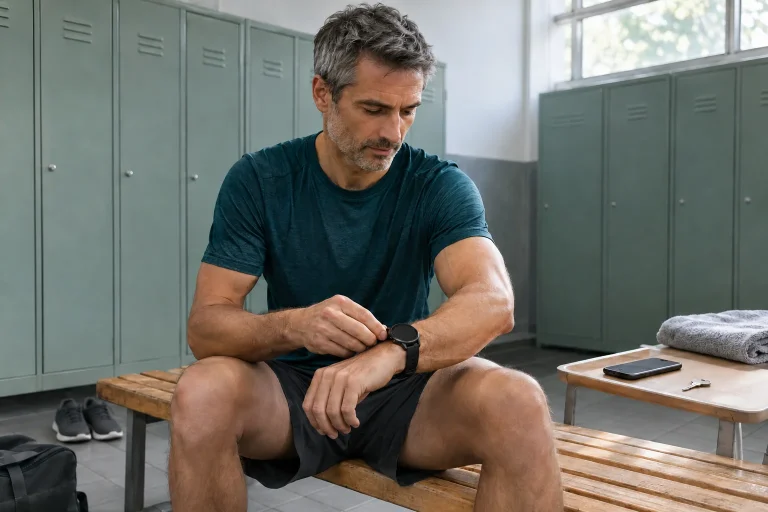
Make a short trial checklist: which view appears at the start; how you pause; how you view the route; when you expect an alert; how you stop and save the workout. You can test the whole sequence on a short familiar loop. This is not a replication of laboratory battery testing. It checks whether the compromise chosen for longer operation fits your use.
Actually pack the cable and adapter needed for a charging stop. The manufacturer also quotes fast charging up to 40 per cent in 30 minutes under specified conditions. Your portable battery is not automatically the same test environment. If you rely on it, check the setup, connection and stable positioning on an earlier day. A planned rest and a charging option that really works together provide a useful reserve.
LTE availability requires separate activation
The Samsung setup guide describes initial phone-based setup for Wear OS watches; later independence through LTE does not mean a phone is never needed. The LTE support page dated 18 November requires a compatible carrier plan and activation through the mobile-plan menu in Galaxy Wearable. eSIM-capable hardware and an active usable tariff are different states.
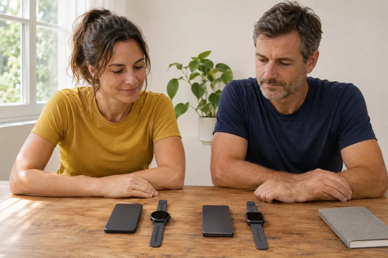
When buying in Hungary, give your carrier the exact model variant and ask which watch plan works. Any eSIM supplied for a smartphone is not necessarily an appropriate watch service. A foreign product page’s carrier list does not prove eligibility for a Hungarian plan. Check local activation and use abroad separately if the long running day is part of a trip.
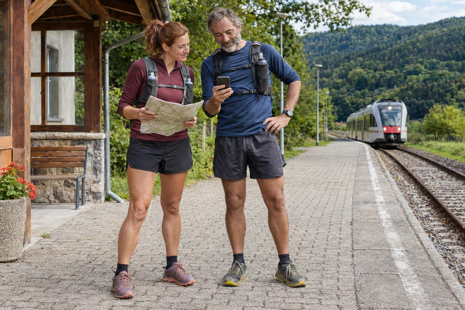
Test connectivity somewhere familiar, not for an emergency purpose. Check the actual path of the call or message you need when the phone is not nearby. Successfully saving a workout does not mean anyone could reach you during it. Agreeing the start, planned arrival and action after a missed check-in is useful even when connectivity generally works. A companion should also know which channel you will use.
 Enlarge image
The hydration alert communicates an estimate
Samsung’s German feature explanation describes a drinking reminder based on estimated fluid loss. This is not a directly measured personal fluid deficit known in every situation. Do not turn a watch value into automatic drinking doses for everyone. On a long trail outing, you also need to know actual refreshment points and the fluid you carry; a notification cannot pack your bag.
List confirmed water sources separately from merely possible ones in your route plan. A fountain marked on an old map or a seasonally open kiosk does not offer the same certainty. Your earlier experience and current circumstances matter at planned stops too. When the watch shows a number, know what kind of data it is; do not confuse it with the amount actually left in a bottle.
A similar distinction separates the workout log from Health Monitor. The Hungarian manufacturer information attaches separate phone, regional and usage conditions to regulated health features. Heart rate visible during exercise is not continuous ECG or blood-pressure diagnosis. Assess these options for their intended purposes. An unexpected alert and your own symptoms should not be overruled by a training score; the feature’s intended use matters.
Prepare the whole trail day
If you use Running Coach, the October announcement describes twelve levels and new options released gradually. Check the programme available in your update. But following a route does not require chasing a flat-course time target on every climb. The task set on the watch and the real terrain should fit together. Reconnaissance, training and racing can give the same line different purposes.
In a pre-start briefing, tell your companion which mode you use and where the next definite meeting is. On a shared run, it also matters whether both of you prepared the same file version. If the lines differ, stop safely and clarify using actual signs, the map and the prior plan. Tracking supports decisions; shared navigation and conscious knowledge of the route remain necessary.
After finishing, travel, waiting and a missed connection may still lie ahead. Include an alternative journey home and do not keep every piece of information exclusively on one device. The Ultra2 provides coherent help when it is comfortable, the route is checked, controls and power mode are familiar and communication has been tested. The larger battery then gains meaning as one tool within a well-prepared day.
Sources
- Ultra2 global specifications
- Ultra2 detailed product page and test conditions
- Navigation and climb data
- Ultra2 running features
- Galaxy Watch setup
- LTE activation
- Samsung Health Monitor Hungary
- Samsung Health October update
How Futószív articles are prepared: our editorial guidelines.